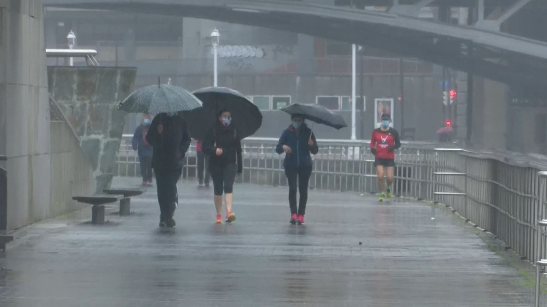
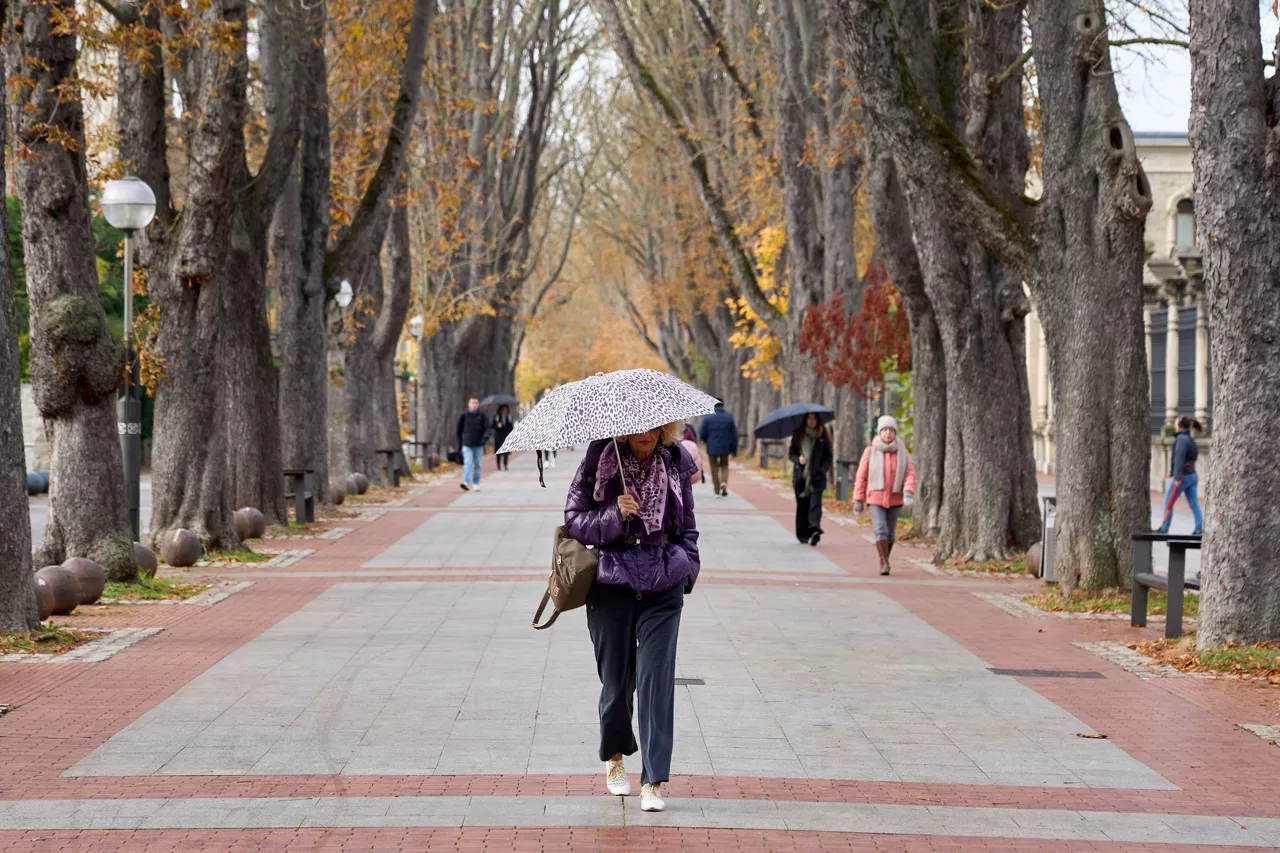
The storm will reach its peak this Friday


According to the prediction of the Basque meteorological agency Euskalmet, this Friday, November 21, the storm will reach its peak. The rainfall will be abundant in the northern half and will be more interspersed to the south.
During the first half of the day there may still be a storm in the Cantabrian area. The snow level will be about 500 feet, and it may even be whitewashed lower, but during the afternoon it will rise ever higher. The wind will lose strength at the end of the day.
In the capitals, a minimum of 2 degrees and a maximum of 8 degrees are expected in Baiona, a minimum of 5 and a maximum of 9 in Bilbao, a minimum of 3 and a maximum of 8 in Donostia-San Sebastián, a minimum of 0 and a maximum of 4 in Vitoria-Gasteiz and a minimum of -1 and a maximum of 4 in Pamplona.
You might like
Rain and low temperatures will dominate the first week of December in the Basque Country
From Monday, the weather will stabilize. However, on Tuesday a new cold round will bring rain and covered skies; and temperatures will drop; and ice will be brought at the highest points.
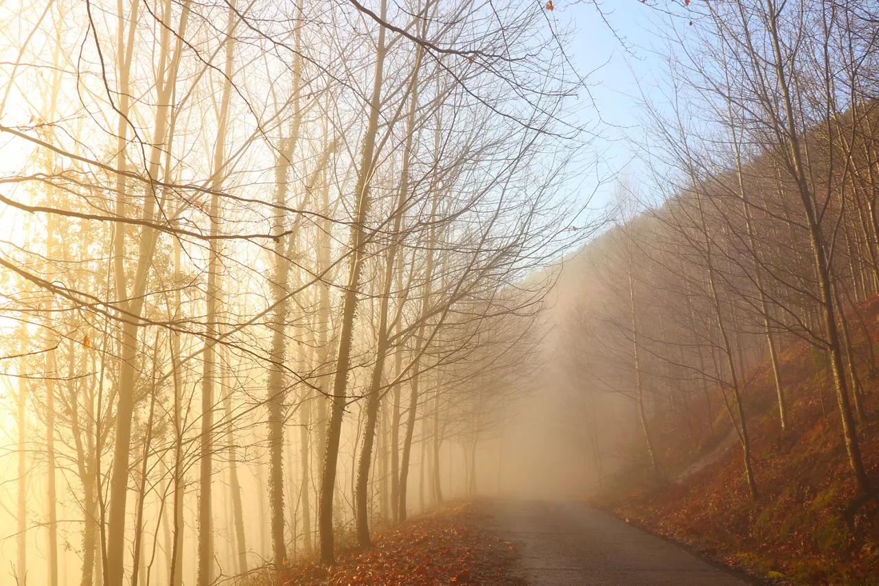
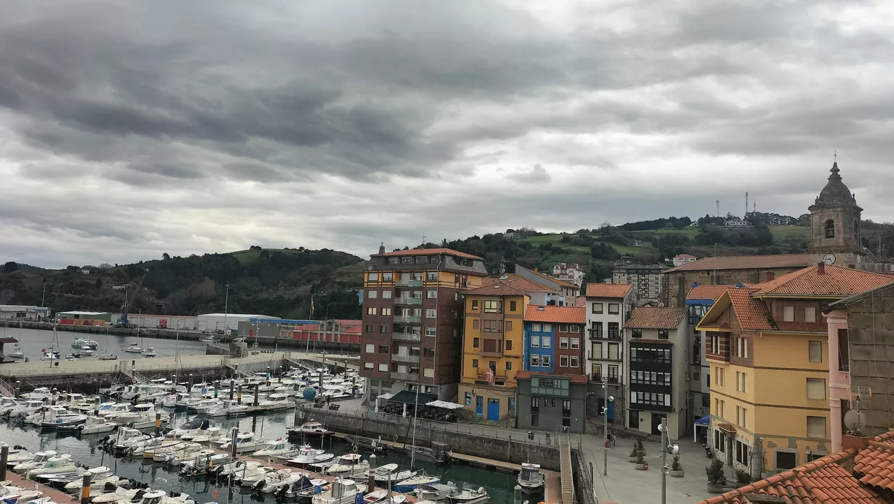
Sun, increasing cloud cover and fog in the Basque Country
According to Euskalmet, this Friday the temperature will rise slightly and the sky will be somewhat stirred.
Rain on Tuesday and unstable atmosphere on Wednesday: Thursday comes rest
During today's day, the yellow warning has been maintained for persistent rainfall, and tomorrow, Wednesday, showers will continue; on Thursday they will improve, with minimum and maximum temperatures between 4 and 14 degrees, according to Euskalmet.
Yellow warning in Gipuzkoa for rains that could bring 60 l/m² in 24 hours
Although this warning refers only to Gipuzkoa, in Bizkaia the rains will also be intense today and tomorrow, where they are expected to accumulate between 40 and 50 l/m² in 24 hours.
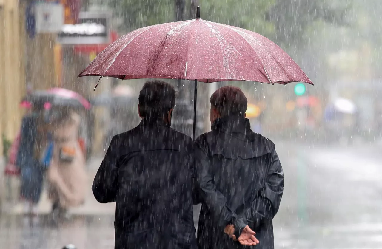
The rain is back in the Basque Country and we'll have an unpleasant start to the week
Maximum temperatures will rise inland and remain on the coast; minimum temperatures will rise significantly and the risk of frost will disappear, and at the end of the day the snow level could fall to 1200-1400 meters.
The rain will leave an unpleasant start to the week in the Basque Country
The maximum temperatures will rise inland and remain on the coast, while the minimum temperatures will rise significantly and the risk of frost will disappear, and at the end of the day the snow level could fall to 1200-1400 metres.
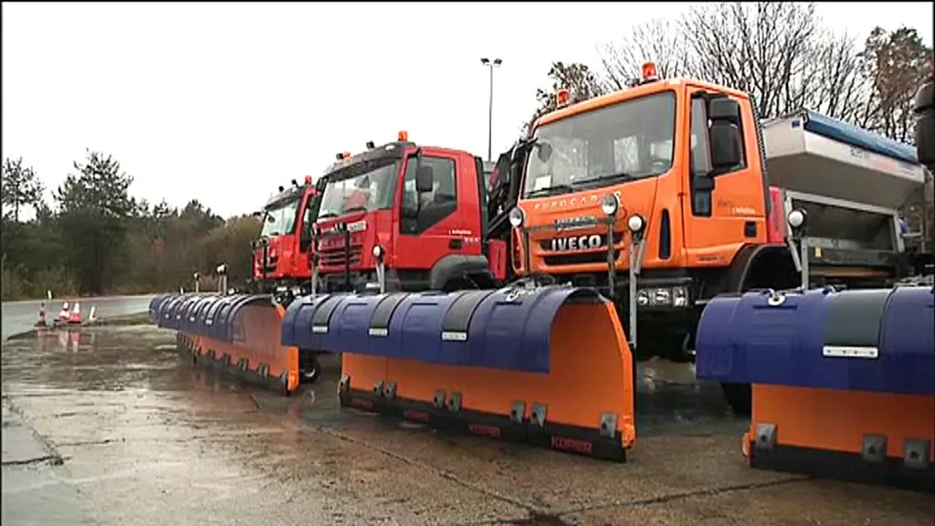
Normal on the roads after a snow-conditioned, hail Friday
The winter viability plan is still in place, but no snow is expected at low altitudes, as it did yesterday, forcing road closures and extreme caution.
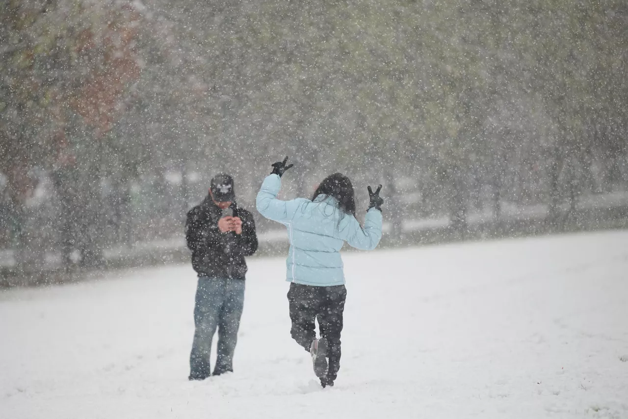
The first great snowfall of the season: wonderful landscapes and problems on the roads
The first snowfall of autumn has bleached vast areas of the Basque Country, leaving bucolic figures in regions such as Sakana and Goerri, where children and adults have enjoyed the white cloak. However, the winter stamp has brought difficulties: with the ports closed in Álava, the roads slippery and the villages almost covered with snow, the snow has exceeded expectations.
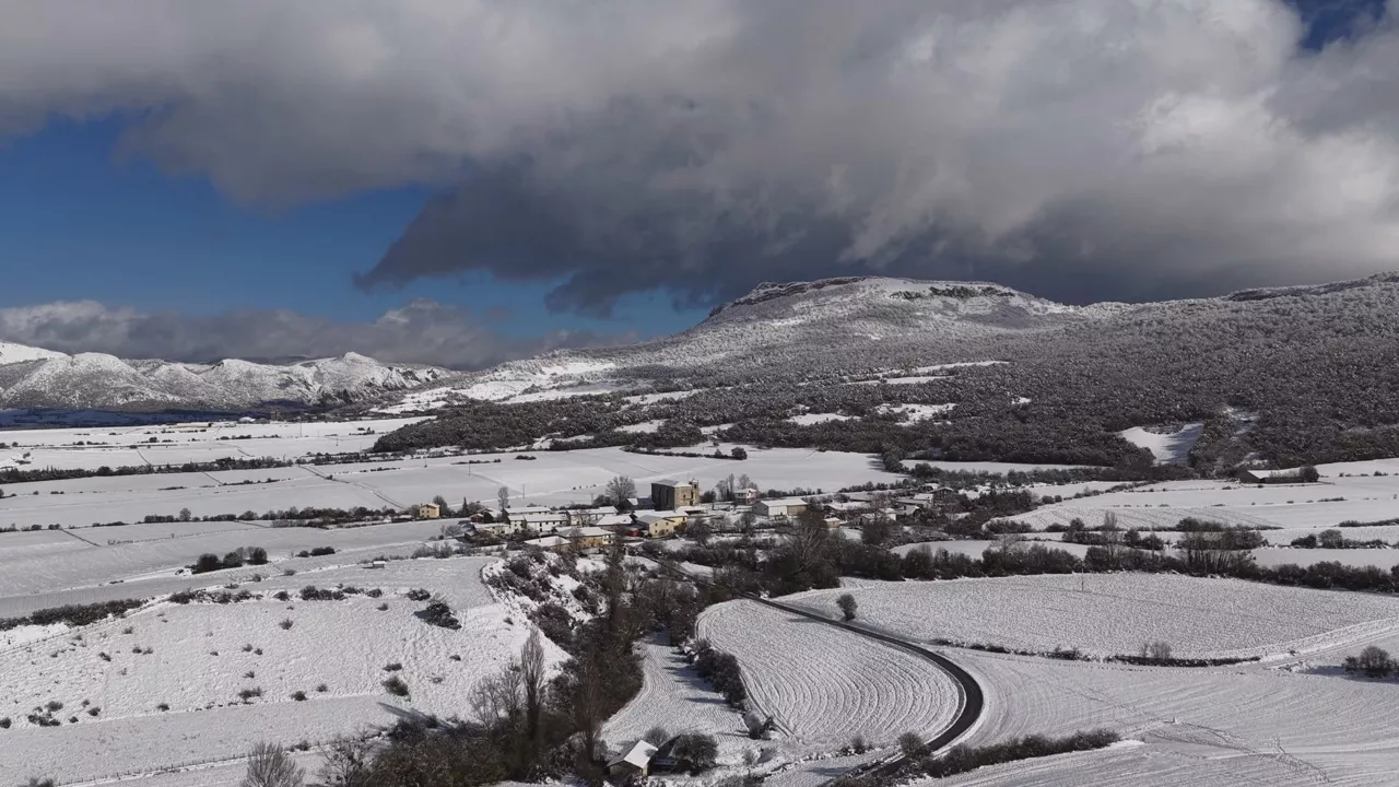
The white cloak that has covered much of Euskal Herria, seen from the air
Images taken from the air show that the fields and mountains, which until recently were yellow or reddish, were completely whitened by the snow this morning.