2026/03/14 - 18:21
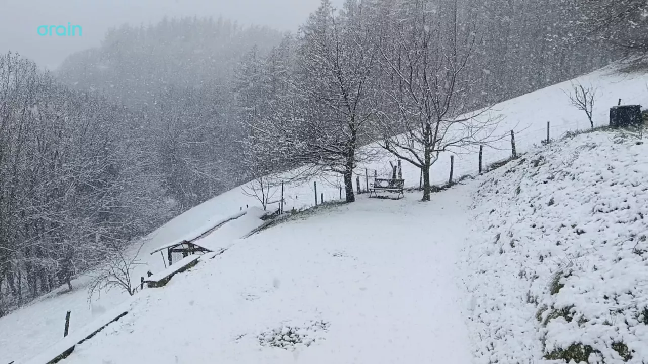
Snow returns to the Basque Country on the eve of spring
There's only one week left before winter ends, but it's still cold, it's raining and snowing in the highest places today.
There's only one week left before winter ends, but it's still cold, it's raining and snowing in the highest places today.

The morning will be bright and warm, but change is coming for the afternoon: the northwest wind will come in and bring rain, lower temperatures and a winter atmosphere for the weekend.


It will be in effect throughout the day, as it can accumulate more than 60 litres/m2. The weather will be cloudy and the rain will be the protagonist, the showers will be abundant and the wind will blow from the north at certain times.


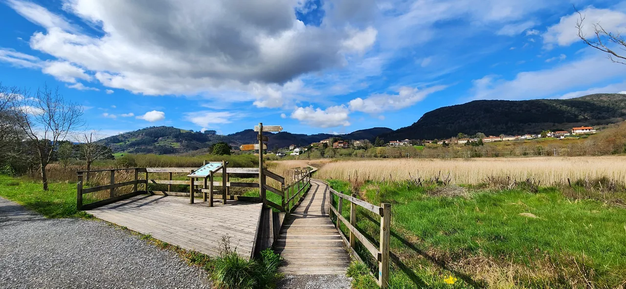
Temperatures will be above average for this season, with highs of up to 20 ° C on the coast.


On Saturday it will rain, but as the day progresses it will come out.

On Friday at noon the wind will turn northwest, the clouds will enter and the temperatures will drop. The sad Saturday will be gray and the evening will cease. On Sunday we will see the sun again and the temperature will rise.

"It is true that sudden changes in weather are common in the Basque Country, but warm situations are increasingly common compared to cold," adds Arnaitz Fernández.

The southern wind will prevail, especially on the cantabrian side, and facilitate thermal rise.

The wind will lose strength and maximum daytime temperatures will rise, but there may be frost at some points in Álava and Navarre.
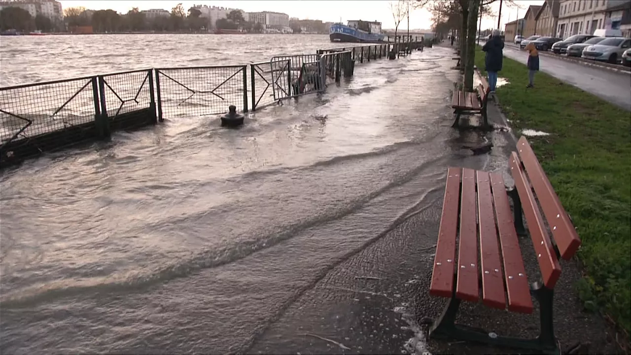
The Adour River has overflowed in Bayonne this Thursday. When the heavy rain and the high tide have come together in the last few days, either at six o'clock in the morning or in the afternoon, the river has left its course.

The storm 'Pedro' has left damage in the Basque Country, with strong streaks in exposed areas and wind, and the warning activated by coastal risk will continue.

Wind waves of more than 100 km/h and waves of up to 4 meters are expected and the Basque Government will activate yellow warnings.

A summary, in two words, of what will be news in the Present today.