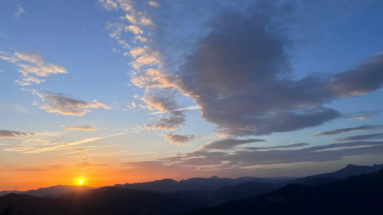
We'll start the week with a cool, stirred atmosphere, but on Wednesday summer will return
Today and tomorrow we will talk about cloudy skies and showers with maximum temperatures of 22ºC. On Wednesday we will immerse ourselves fully in the summer atmosphere. However, it will not last long, since on Thursday itself there will be rain and fresh temperatures back.


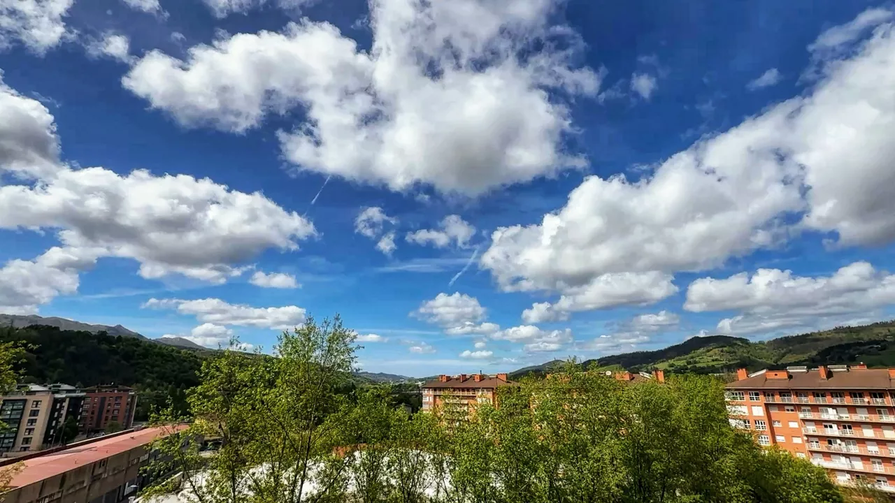
This Monday the skies will be cloudy at cloudy intervals with the possibility of some occasional showers, but at other times they will open wide clear. In the interior the northern wind will blow from the northwest on the coast and will be strong, especially in the afternoon. The maximum temperatures will remain around 21 or 22 degrees.
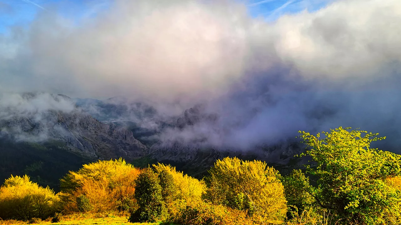
On Tuesday the clouds will still be plentiful, but the predominance of medium and high clouds will keep the rain from the morning; in the early morning it could rain weakly at some points on the Cantabrian side. In the morning the southern wind will blow, and as the afternoon progresses it will shift north, starting from the coast.
On Wednesday, summer weather will prevail. The atmosphere will be sunny, despite the appearance of some high clouds. In the evening, low clouds will increase on the Cantabrian side. At the beginning of the day, fog and fog will appear in some parts of the interior. In the morning the southern wind will blow, which will allow the maximum temperatures to rise significantly, and in some areas they will be around 30 ° C.
In the afternoon the wind will turn north, and by Thursday the cloudy atmosphere and falling temperatures will return.
You might like
Spring weather all week and maximum temperatures above 25 degrees
Warm temperatures will prevail throughout the week, but at the beginning of the week there may be stormy showers.
Sunny mornings and rainy afternoons
They will wake up sunny Monday and Tuesday, but in the evenings it will rain, as is customary in spring, as there will be a storm from noon onwards.

What is the sun crown?
Next August 12th the sun will be completely hidden behind the moon, and as a result of this eclipse we will be able to observe a second phenomenon in different corners of Euskal Herria: the solar crown. The astronomer Virginia Garcia of Aranzadi has explained to us what it consists of.
Mixed spring weather for the weekend
The skies will be cloudy, especially on the Cantabrian side, and it is not ruled out that by nightfall there will be a storm, especially in the interior and mountain areas. In the rest, the rain will be maintained. In terms of temperatures, the highs will be 17-21 ° C on the coast and 20 degrees of barrier on the interior.
Spring weather knocks on the door, rain breaks, temperatures rise
Sunny and spring weather will prevail, and maximum temperatures will exceed 20-22 degrees Celsius.
Except Monday, we'll have a clear and stable atmosphere this week
The minimum temperatures on the coast will be fresh (7-9 ° C) and will be cold inland. As for the maxima, as the days go on, they will rise to 20 ° C.

The summer atmosphere will be left behind and the cold and rain will return to Hego Euskal Herria this weekend
It will be around 30 degrees today at some points in the interior of the Basque Country, but a cold front will bring rain on Saturday and maximum temperatures will be around 13-15 degrees on Sunday. In Navarre there will also be a sudden change of weather with precipitation and a strong thermal decline.
Days of spring before the weekend before the change
Sunny atmosphere and warm temperatures will prevail throughout the Basque Country until Friday.

The southern wind will leave temperatures above 20 degrees today, and it could even bring calima
After Monday's heat, today is expected to be more cloudy, but we will continue with spring temperatures (2-3 ° less than yesterday). Besides, it is possible that the dust of the Sahara, which they call calima, will also reach ours, and consequently we will see the heavens dyed in a yellowish tone.

Easter Week will begin with a warm and sunny atmosphere, and from Tuesday, uncertainty will prevail
From Tuesday afternoon we will have cold air in the heights, and depending on the location of that depression, the weather will change one way or the other.