The sunny age dominates, in the next hours and days
Monday and Tuesday the highs will be above 20 degrees, although in the early morning the atmosphere will cool down considerably.


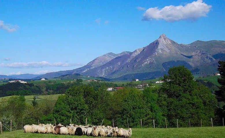
Leaving behind the rain of the last few hours and the autumn atmosphere, the sun will rule over the next few days throughout the Basque Country. The northern wind has caused temperatures to drop significantly today, Sunday, and it has rained during the first half of the day.
On Monday, maximum temperatures will rise (they will be between22 and 24 degrees in all capitals), but the minimum temperatures will be cooler than on Sunday (about 11 degrees in Bilbao and about 5 degrees in Vitoria). In addition, fog is expected in the first hour. When the fog rises, however, the sky will be clear. The wind will blow from the east, except on the coast, where it will become stronger.
On Tuesday, when the fog of the first few hours allows, we will be able to enjoy the blue skies again, with some high cloud cover. The maximum temperatures will rise again, especially in the interior (from 25 degrees ). It will not warm up so much on the coast. The soft wind will be variable at first, with a touch of south, and will blow north throughout the afternoon.
Euskalmet predicts there won't be much change on Wednesday, but it could rain on Thursday.
You might like

Sun dominates until Wednesday; Thursday rain and falling temperatures
Temperatures will be above average for this season, with highs of up to 20 ° C on the coast.

The week will be divided into two parts: from Monday to Wednesday, sunny and warm, and from Thursday, rainy and fresh
The spring atmosphere will prevail in the early days of March, and the thermometer will reach 16-20 ° C. As the end of the week approaches, the weather will stabilize, and the trend will continue for a few days.

Low temperatures and rain on Saturday, sun and southern wind on Sunday
On Saturday it will rain, but as the day progresses it will come out.

Rain and cooler temperatures are expected by the beginning of the weekend
On Friday at noon the wind will turn northwest, the clouds will enter and the temperatures will drop. The sad Saturday will be gray and the evening will cease. On Sunday we will see the sun again and the temperature will rise.

Arnaitz Fernandez: "Records of cold are decreasing, while records of heat are increasing."
"It is true that sudden changes in weather are common in the Basque Country, but warm situations are increasingly common compared to cold," adds Arnaitz Fernández.

Early spring in the Basque Country, with temperatures up to 24 degrees
The southern wind will prevail, especially on the cantabrian side, and facilitate thermal rise.
Sunny and stable atmosphere for the whole week
It will be fresh at night and early in the morning, but with the help of the sun and the southern wind, temperatures will rise.

Leave the rain behind and there will be a sunny and stable atmosphere over the weekend
The wind will lose strength and maximum daytime temperatures will rise, but there may be frost at some points in Álava and Navarre.

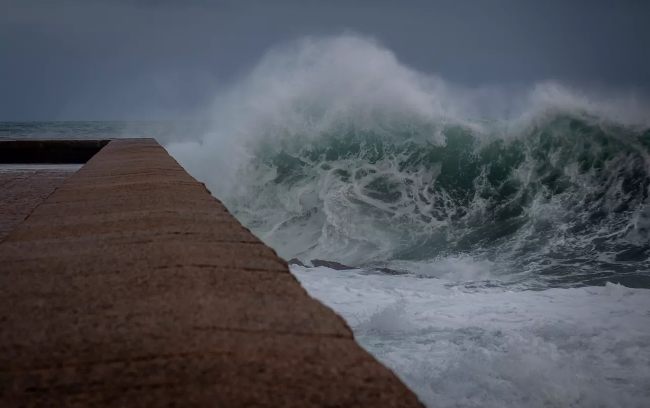
The wind is still blowing strong and the yellow warning will continue until the afternoon
The storm 'Pedro' has left damage in the Basque Country, with strong streaks in exposed areas and wind, and the warning activated by coastal risk will continue.
A front will bring fog and showers from the afternoon onwards
Wind waves of more than 100 km/h and waves of up to 4 meters are expected and the Basque Government will activate yellow warnings.