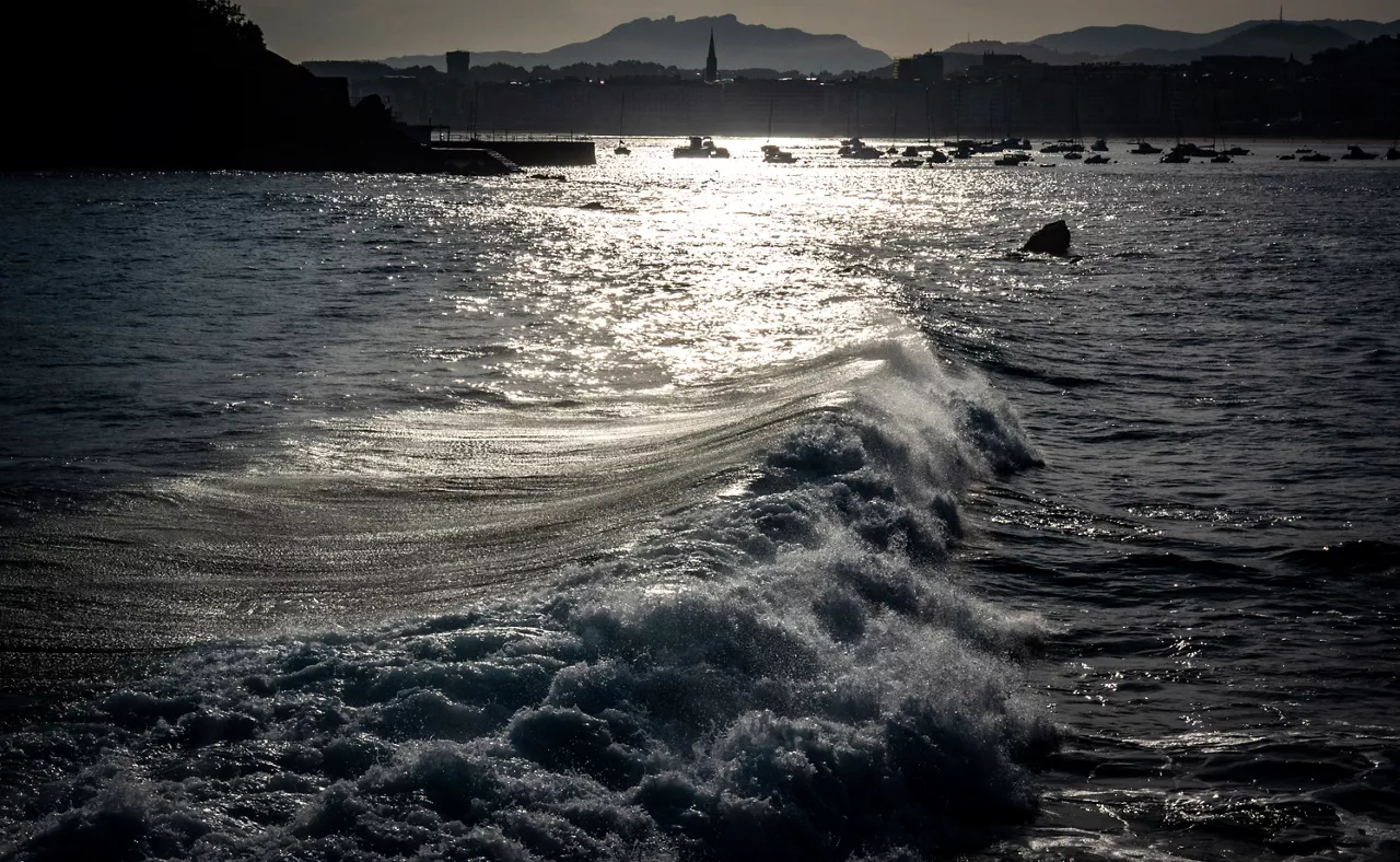
Ezegonkortasuna eta tenperatura freskoak izango dira nagusi urriko azken asteburuan
Astean zehar izandako tenperatura altuen ondoren, asteburuan fresko izango dugu eta zenbait tokitan termometroak ez ditu 15 ºC-ak gaindituko.

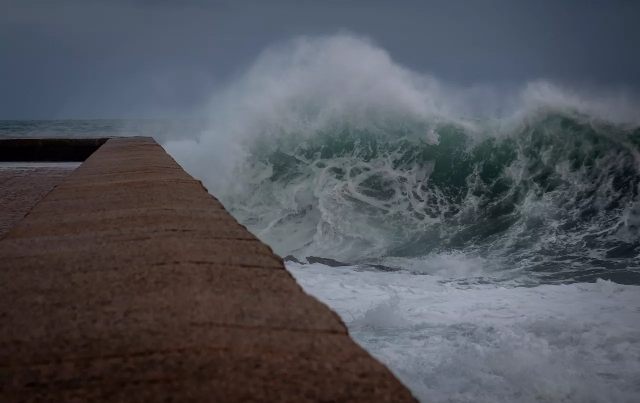
Mañaria. Argazkia: Marivi Gonzalez de Audicana.

Urriko azken asteburuan ezegonkortasuna eta tenperatura freskoak izango dira nagusi. Astean izandako hego haizearen ondoren, asteburuan fresko izango dugu eta zenbait tokitak termometroak ez ditu 15 ºC-ak gaindituko.
Ostiral honetan goizean eguraldi aldakorra izango dugu eta arratsaldeak hodeiak nagusituko dira, eta euri pixka bat egin lezake, batez ere gauean eta barnealdean. Haizea hego-mendebaldetik ibiliko da lehen orduetan, eta arratsaldean ipar eta ipar-mendebaldera aldatuko da. Tenperatura maximoak antzera jarraituko dute edo apur bat jaitsiko dira, bereziki Kantauri isurialdean.
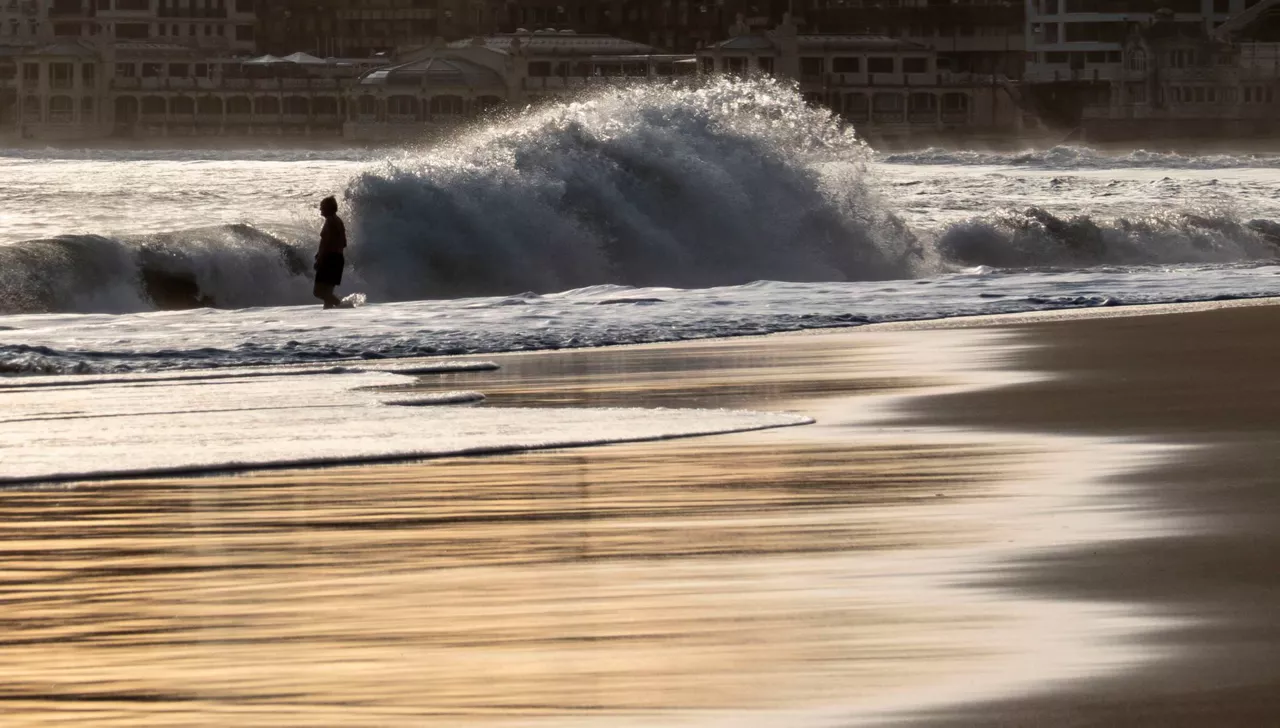
Larunbatean eguraldia ezegonkorragoa izango da, hodei ugarirekin eta tenperatura maximoen jaitsiera nabarmenarekin. Hodeiak nagusituko dira zeruan eta euria egingo du, batez ere egunaren bigarren partean eta barnealdean. Haizeak mendebal/hego-mendebaldetik joko du hasieran, baina egunak aurrera egin ahala ipar-mendebaldera egingo du. Tenperatura minimoak zertxobait epelagoak izango dira, baina maximoek behera egingo dute nabarmen, eta barnealdeko hainbat tokitan ez dira 15 ºC-ra iritsiko.
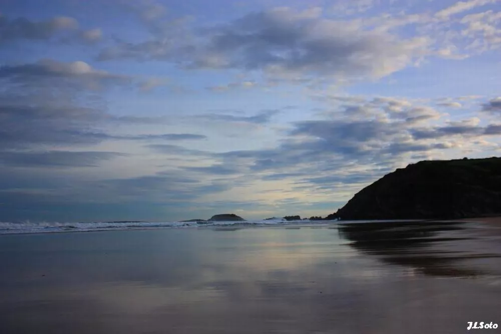
Igandean eguraldi fresko eta hezea izango dugu. Egunaren zati handi batean lainotuta egongo da. Ipar-osagaiko haizea ibiliko da eta kostaldetan tarteka enbarazu egingo du. Hodeiek euria utziko dute; barnealdean euri txikia egingo du, baina kostaldean tarteka mardul egingo du eta orokorrean euria ugariagoa izango da. Tenperatura maximoak 12-14 ºC inguruan geldituko dira barnealdean, eta kostaldean 15 ºC-en bueltakoak izango dira.
You might like
Sun dominates until Wednesday; Thursday rain and falling temperatures
Temperatures will be above average for this season, with highs of up to 20 ° C on the coast.

The week will be divided into two parts: from Monday to Wednesday, sunny and warm, and from Thursday, rainy and fresh
The spring atmosphere will prevail in the early days of March, and the thermometer will reach 16-20 ° C. As the end of the week approaches, the weather will stabilize, and the trend will continue for a few days.
Low temperatures and rain on Saturday, sun and southern wind on Sunday
On Saturday it will rain, but as the day progresses it will come out.

Rain and cooler temperatures are expected by the beginning of the weekend
On Friday at noon the wind will turn northwest, the clouds will enter and the temperatures will drop. The sad Saturday will be gray and the evening will cease. On Sunday we will see the sun again and the temperature will rise.

Arnaitz Fernandez: "Records of cold are decreasing, while records of heat are increasing."
"It is true that sudden changes in weather are common in the Basque Country, but warm situations are increasingly common compared to cold," adds Arnaitz Fernández.

Early spring in the Basque Country, with temperatures up to 24 degrees
The southern wind will prevail, especially on the cantabrian side, and facilitate thermal rise.
Sunny and stable atmosphere for the whole week
It will be fresh at night and early in the morning, but with the help of the sun and the southern wind, temperatures will rise.
Leave the rain behind and there will be a sunny and stable atmosphere over the weekend
The wind will lose strength and maximum daytime temperatures will rise, but there may be frost at some points in Álava and Navarre.

The wind is still blowing strong and the yellow warning will continue until the afternoon
The storm 'Pedro' has left damage in the Basque Country, with strong streaks in exposed areas and wind, and the warning activated by coastal risk will continue.
A front will bring fog and showers from the afternoon onwards
Wind waves of more than 100 km/h and waves of up to 4 meters are expected and the Basque Government will activate yellow warnings.