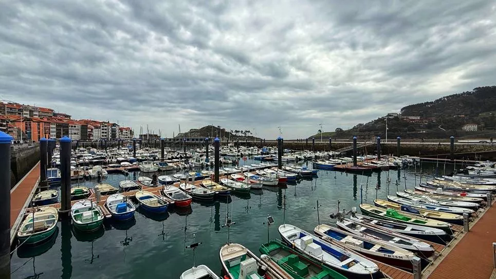
Eguraldi egonkorra eta tenperaturen igoera abenduko zubirako
Euskalmeten arabera, atertzera egingo du eta ostarteak zabalduko dira.


Abendu hasiera euritsi batean ondoren, urteko azken zubia eguraldi egonkorrarekin eta tenperaturen igoerarekin dator.
Ostiralean egunaren lehen zatian oraindik euria egingo du, batez ere Kantauri isurialdean, baina orduek aurrera egin ahala, mendebaldetik hasi eta ekialderantz, atertzera egingo du. Hala ere, gauean beste fronte bat hurbil daiteke eta egunaren amaieran berriro euri pixka bat egin dezake. Tenperatura igo egingo da, bereziki ipar partean, eta egunaren erdiko orduetan giroa atseginagoa izango da.
Larunbatean tenperaturak goranzko bidean jarraituko du eta eguraldia lasaiagoa izango da. Hodeiak urdingune batzuekin tartekatuko dira eta oro har ateri eutsiko dio, hala ere, goizean oraindik hodeiek tantaren bat utz dezakete. Hego-mendebaldeko haizea nagusituko da eta tenperatura maximoak epelagoak izango dira, bereziki Kantauri isurialdean.
Igandean eta astelehenean ostarte zabalak izango ditugu eta tenperaturak gora egiten jarraituko du.
Zure interesekoa izan daiteke
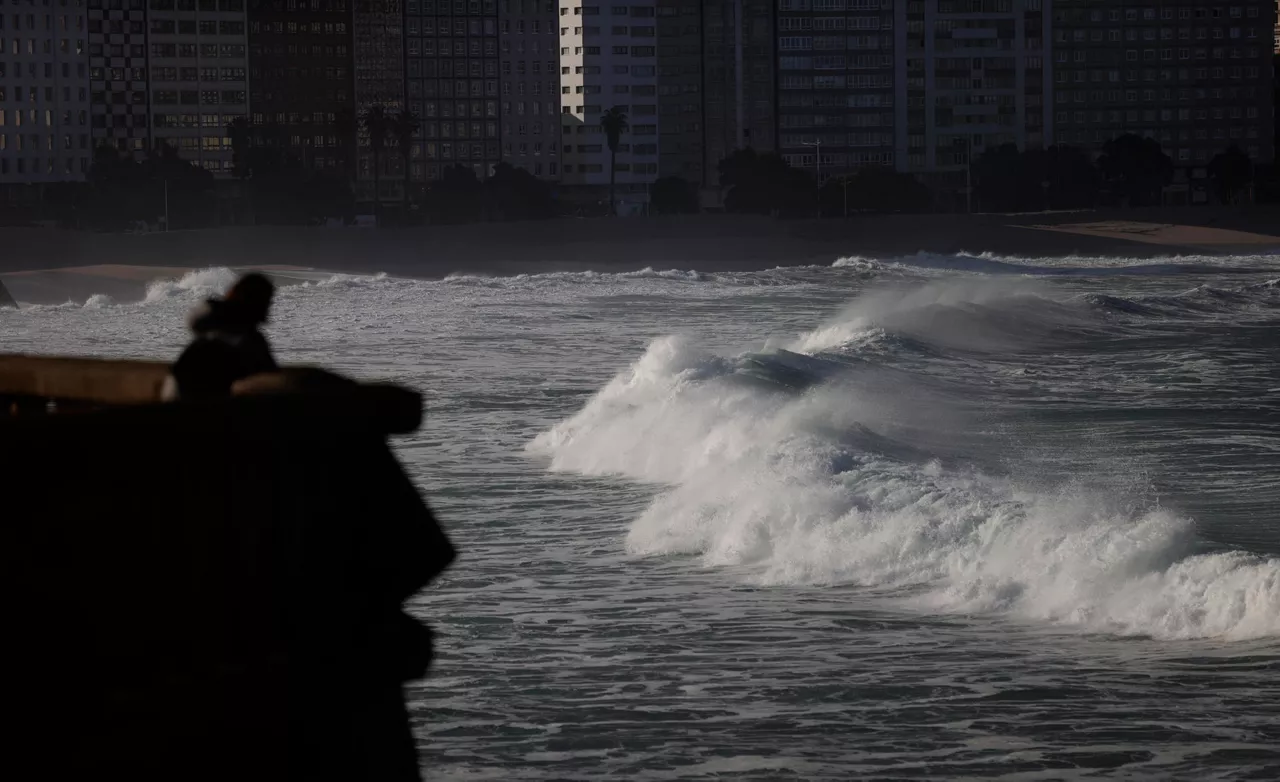
Yellow warning this Friday in Bizkaia and Gipuzkoa for persistent rainfall
It will be in effect throughout the day, as it can accumulate more than 60 litres/m2. The weather will be cloudy and the rain will be the protagonist, the showers will be abundant and the wind will blow from the north at certain times.
The rain is coming back and temperatures will drop
The turbulent and unstable atmosphere will be maintained at least until the weekend.

Sun dominates until Wednesday; Thursday rain and falling temperatures
Temperatures will be above average for this season, with highs of up to 20 ° C on the coast.

The week will be divided into two parts: from Monday to Wednesday, sunny and warm, and from Thursday, rainy and fresh
The spring atmosphere will prevail in the early days of March, and the thermometer will reach 16-20 ° C. As the end of the week approaches, the weather will stabilize, and the trend will continue for a few days.
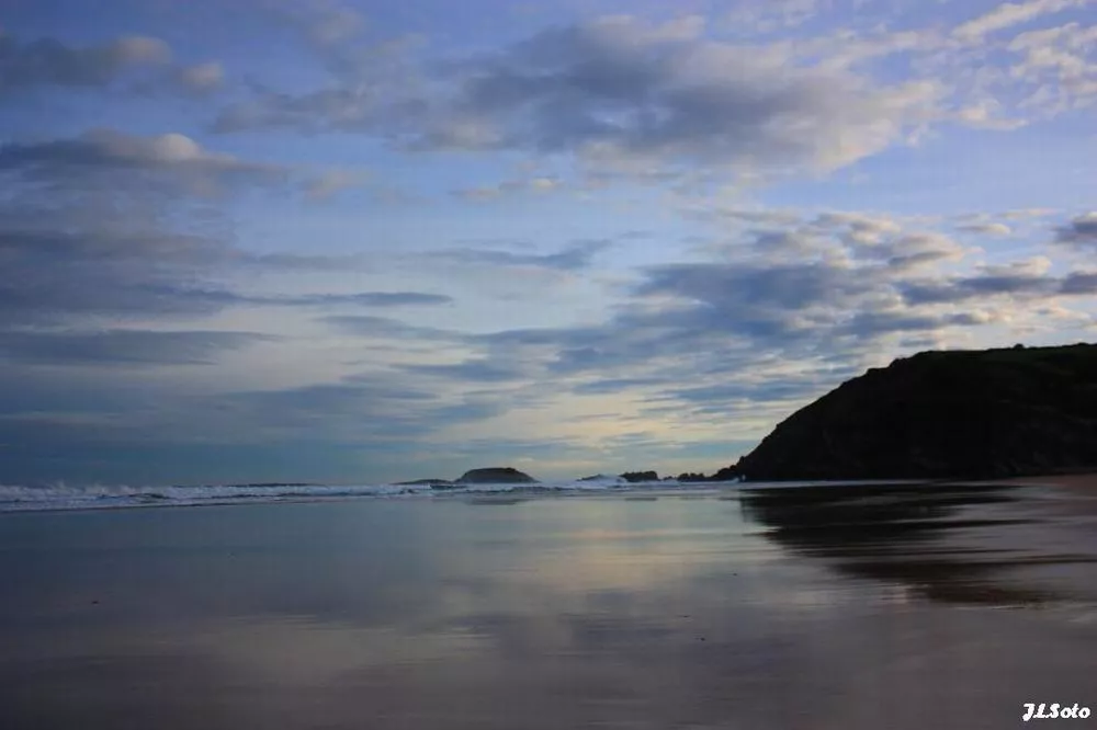
Low temperatures and rain on Saturday, sun and southern wind on Sunday
On Saturday it will rain, but as the day progresses it will come out.

Rain and cooler temperatures are expected by the beginning of the weekend
On Friday at noon the wind will turn northwest, the clouds will enter and the temperatures will drop. The sad Saturday will be gray and the evening will cease. On Sunday we will see the sun again and the temperature will rise.

Arnaitz Fernandez: "Records of cold are decreasing, while records of heat are increasing."
"It is true that sudden changes in weather are common in the Basque Country, but warm situations are increasingly common compared to cold," adds Arnaitz Fernández.

Early spring in the Basque Country, with temperatures up to 24 degrees
The southern wind will prevail, especially on the cantabrian side, and facilitate thermal rise.
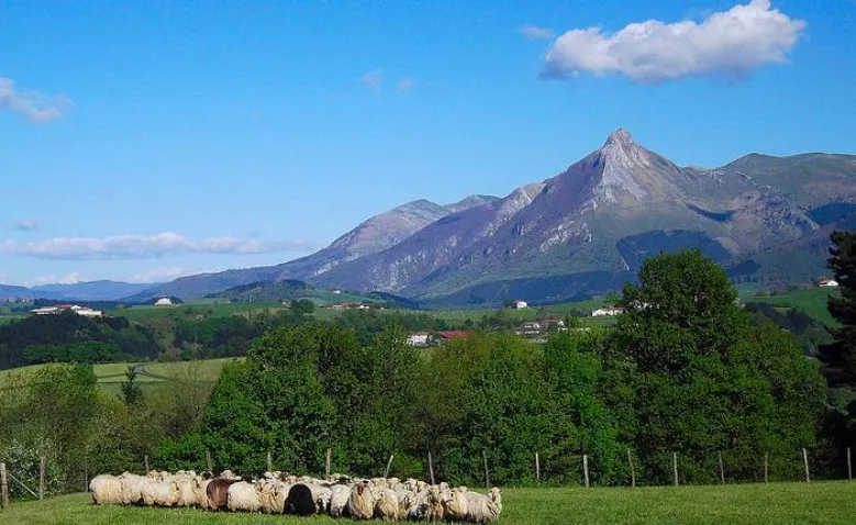
Sunny and stable atmosphere for the whole week
It will be fresh at night and early in the morning, but with the help of the sun and the southern wind, temperatures will rise.

Leave the rain behind and there will be a sunny and stable atmosphere over the weekend
The wind will lose strength and maximum daytime temperatures will rise, but there may be frost at some points in Álava and Navarre.