On Sunday there will be a yellow snow warning in the Basque Country and the Navarre Pyrenees, which can peel more than 700-1,000 meters
The warning will be in effect from noon until midnight and the expected snow thickness will be between 0 and 5 centimetres, at 1,000 metres.


The Basque Government's Department of Safety will activate the yellow snow warning this Sunday, as the snow level is expected to be around 700-1000 metres from noon.
The warning will be in effect from noon until midnight and the expected snow thickness will be between 0 and 5 centimetres, at 1,000 metres.
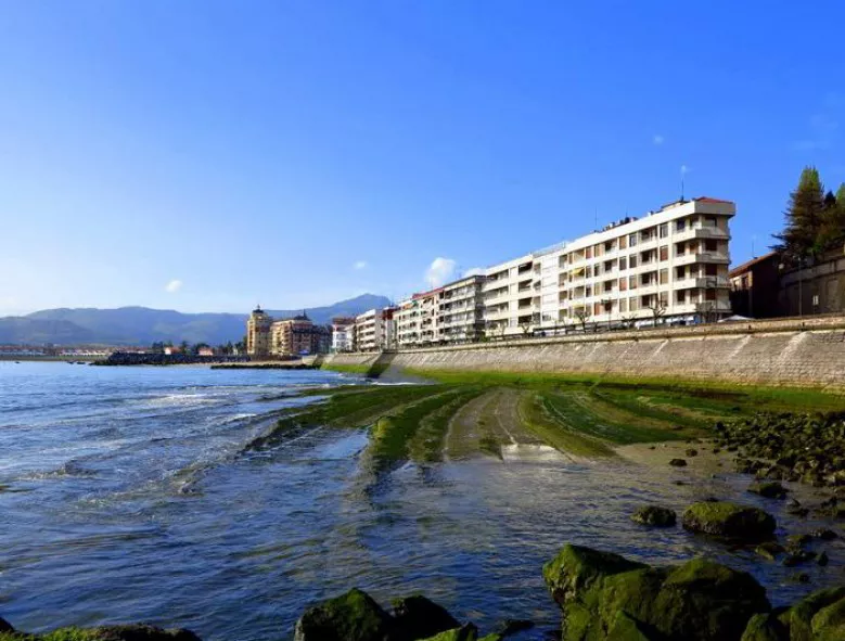
The snow is therefore not expected to reach the capitals, as it will only affect high places and some secondary ports such as Herrera.
Although not much snow is expected, on Sunday there will be very moderate showers, more in the middle of the day, and there may be storms here and there and hail.
Aemet will also keep the yellow snow warning active in the Navarre Pyrenees from noon to midnight, as it can peel above 950 meters.
You might like

On Saturday the weather will improve, and on Sunday the cold will return to Hego Euskal Herria with snow
Euskalmet and AEMET have issued yellow warnings for coastal risk and snow, as temperatures will drop significantly at the end of the weekend and the snow level will be below 1,000 metres.
A cold front will bring clouds and rain
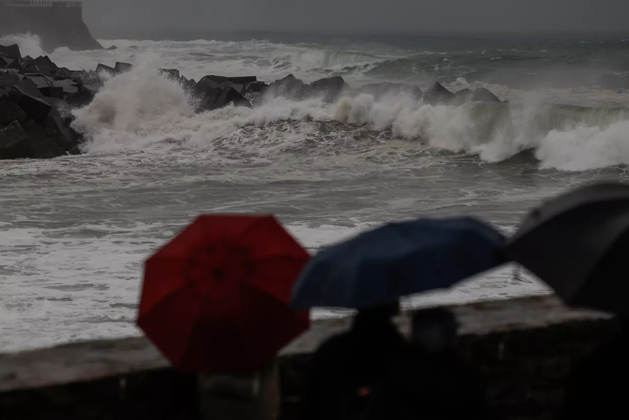
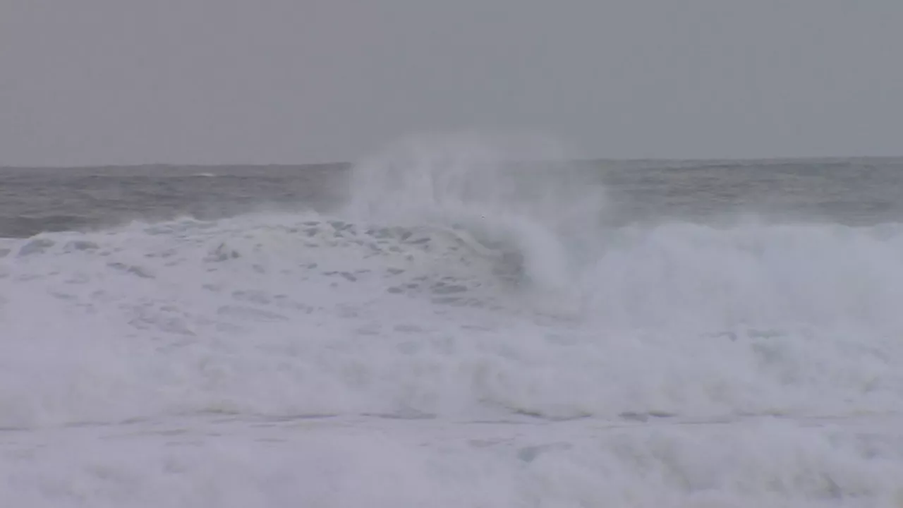
The Basque Government's Directorate of Emergency and Meteorological Care will activate the yellow warning for 3.5 metre waves on Friday and Saturday.
Yellow warnings for wind and strong waves in Hego Euskal Herria from Thursday
Waves of up to 3.5 metres and winds of up to 100 km/h are expected in exposed areas.
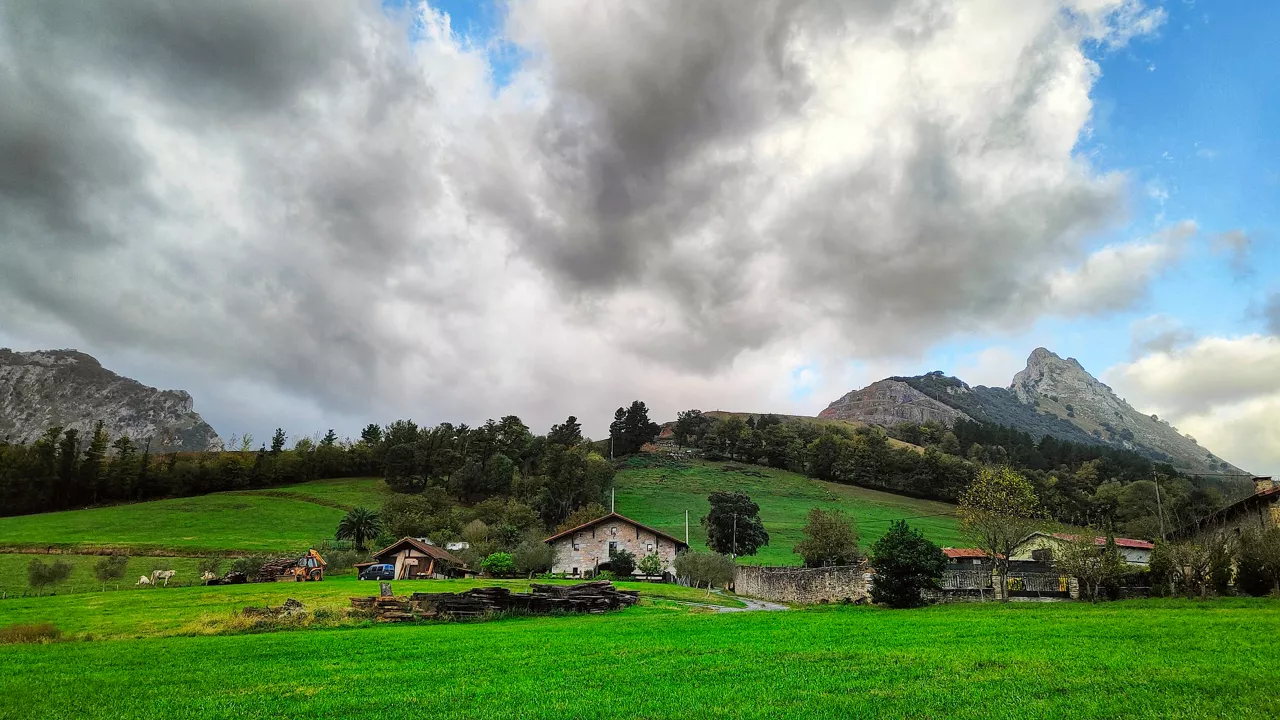
Cloud cover and risk of rain in the interior and wide clearing along the coast at the beginning of the week
The wind will blow from the south, and be rough during the first half of the day. As for temperatures, the highs will hardly change, but the lows will rise slightly.
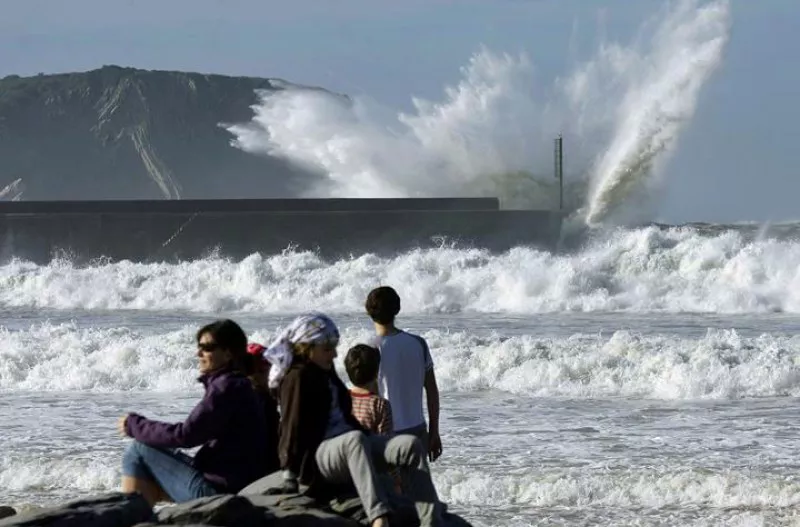
Yellow warning for coastal risk will be activated on Saturday, as waves of 3.5 metres high are expected
The warning will be in effect from midnight until noon on Saturday.

Wind waves of 126 km/h were recorded this morning in Matxitxako
The yellow wind warning will be in effect in Bizkaia until noon. In exposed areas, streams of more than 100 km/h can be measured, especially in the west, while in unexposed areas they can be around 80 km/h.
Warm and clear atmosphere ends on Wednesday
On Wednesday the thermometer will drop sharply, and there will also be rain here and there.
Warm and clear atmosphere to finish the week and start what's coming
Temperatures will reach 20 degrees Celsius on the Cantabrian side, and the week will begin with the same trend.
Eguraldi egonkorra eta tenperaturen igoera abenduko zubirako
Euskalmeten arabera, atertzera egingo du eta ostarteak zabalduko dira.