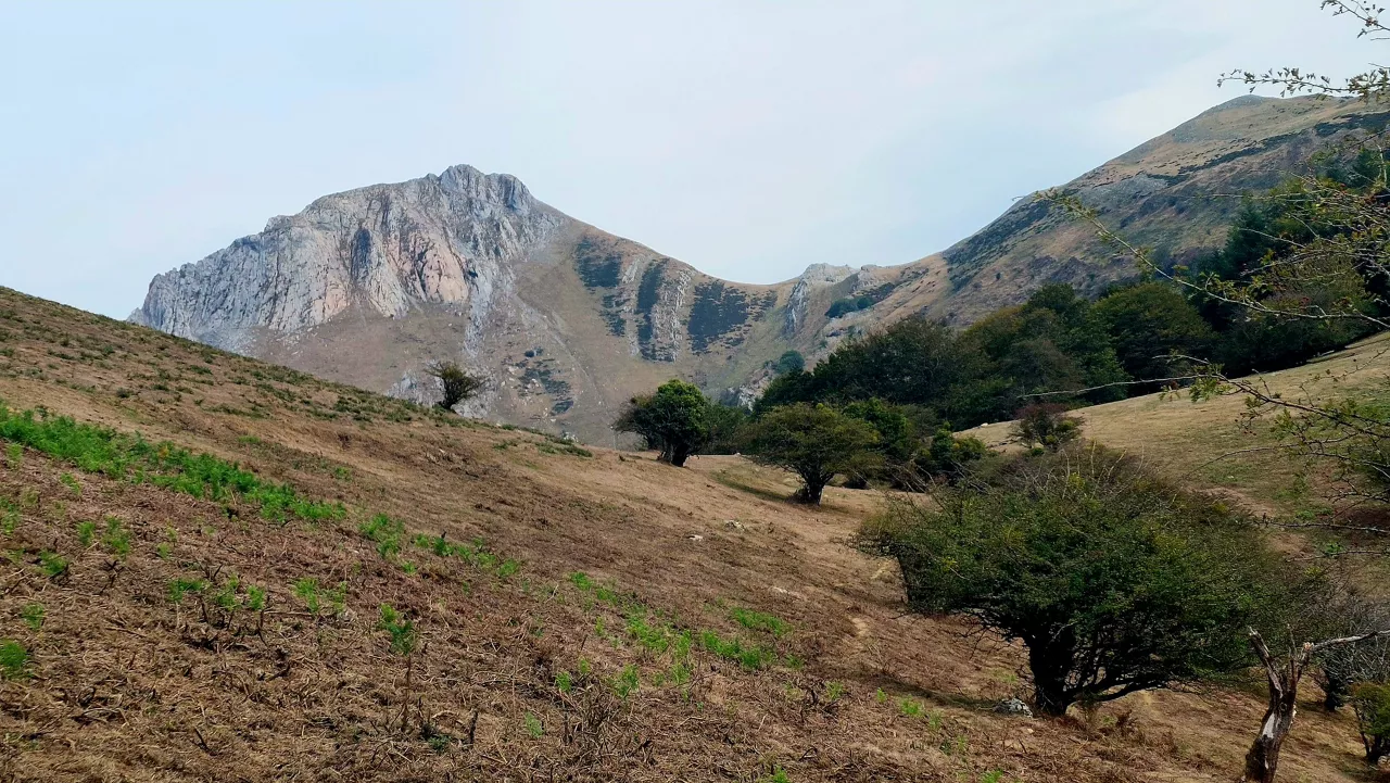
On Saturday the weather will improve, and on Sunday the cold will return to Hego Euskal Herria with snow
Euskalmet and AEMET have issued yellow warnings for coastal risk and snow, as temperatures will drop significantly at the end of the weekend and the snow level will be below 1,000 metres.


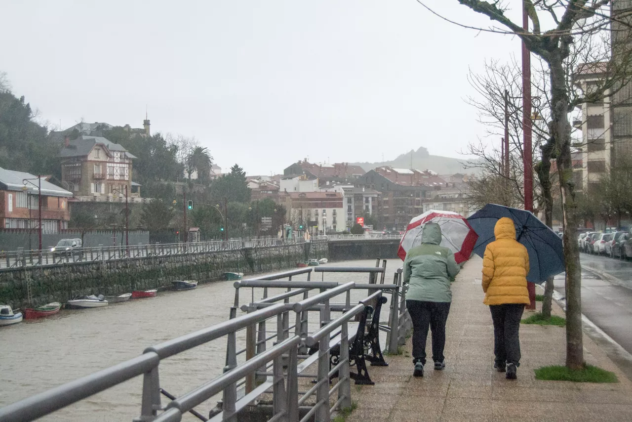
The weather in Hego Euskal Herria will improve slightly on Saturday and will worsen again on Sunday, as, in addition to falling temperatures, there will be rain and the possibility of snow inside, according to forecasts by Euskalmet and the State Meteorology Agency (AEMET).
During the early morning hours of Saturday, it will rain in the north of the Basque Autonomous Community, but it will be raining in the early hours of the day. As the day progresses, the skies will be cloudy with medium and high clouds, increasing cloud cover in the evening and night. The southern wind will intensify, especially at the end of the day, and the maximum temperatures will rise, with a more pronounced rise in the north.
Euskalmet has activated yellow coastal risk warnings for the first two miles, from midnight until 12:00 on Saturday, with strong waves of 3.5 meters, the northwest bottom sea and the south-east wind of 3. In addition, the yellow coastal damage warning has been activated from 03:00 to 06:00, the wave height will be similar and the tide is expected to be high in the early morning.
In Navarre, on Saturday the skies will be cloudy with occasional rains, especially in the north and mountain areas. The Foral Community will maintain the maximum level of yellow warning, especially for Sunday day.
On Sunday the most significant change will come. In the morning a front will pass through the Basque Autonomous Community and in the afternoon it will go out, but it will be clear. The temperature will drop considerably and the snow level could be between 700 and 1,100 meters, with the risk of snowfall inside. The wind will turn southwest.
Euskalmet has also activated the yellow snow warning inside from 12:00 to 24:00 on Sunday from noon. There are expected to be locally moderate showers, more likely in the central hours of the day, and thicknesses of up to 5 centimeters, about 1,000 metres.
In Navarre, AEMET has also warned of snowfall in high areas, especially in the Pyrenees, where there may be significant deposits, which could affect traffic in mountain ports.
You might like

Changing atmosphere this week
Autumn atmosphere for the weekend
Sunny coming week

Heavy rains have left large pools of water in several villages in the South Basque Country
Yellow warning for heavy rains also this afternoon
Yellow warning for heavy rains today and tomorrow afternoon

Rain and rain till the weekend

After the rains, the weather will be more stable today, but faint showers are expected in the afternoon
Yellow notice for Saturday afternoon in the ACV due to heavy rains