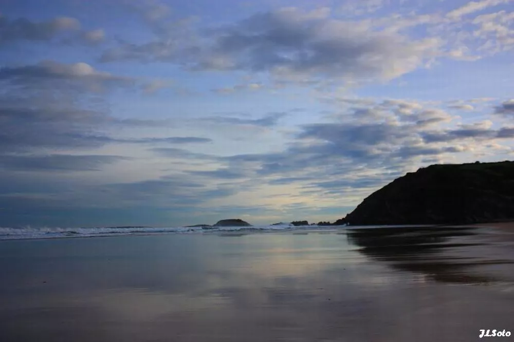
The cold will catch Christmas Eve on the threshold of an icy Christmas
The rain and the fall of temperatures will be the protagonists of Christmas Eve in the Basque Country. We will have Christmas on the same road: cold, frost and snow at low levels.


Euskal Herria will live theChristmas Eve of the winter season : cold atmosphere, covered skies and rain as protagonists, especially from the afternoon onwards.
Although we will have weak rains throughout the morning, as the day progresses, rainfall will become widespread, reaching not only Bizkaiaand Gipuzkoa, but also Álava, the centre of Navarre and the French Basque Country .
As far as temperatures are concerned, the drop in temperatures will be particularly noticeable in the afternoon and night. The wind will cause a cold mass of air, which will cause temperatures to drop gradually, and the snow level will be below 1 000 metres.
Christmas ere , December 25, the coldwill be the protagonist Maximum temperatures will move at low winter values and there will be frostin large areas of the interior
Low rainfall in the morning du days, soover 500-600 meters can snow as well , but it can also leave some flakes at lower levels. However, low rainfall will make it difficult to stabilize the snow.
On Friday,26 December, however, the weather will tend to stabilize. The Ebro Valley and eastern Navarre will continue with very cloudy skies and some faint rainfall, while on the Cantabrian side the clouds and light will alternate and the skies will be more open on the coast and west.
Maximum temperatures will rise slightly, and minimum temperatures will remain low, and there will be frost inside, with snow levels above 1,000 meters, and east winds will blow loose.
So we will have a cold Christmas start and a winter atmosphere all over Euskal Herria. Christmas Eve is rainy and on Christmas Eve, especially inside, winter has already taken over.
You might like

Sun dominates until Wednesday; Thursday rain and falling temperatures
Temperatures will be above average for this season, with highs of up to 20 ° C on the coast.

The week will be divided into two parts: from Monday to Wednesday, sunny and warm, and from Thursday, rainy and fresh
The spring atmosphere will prevail in the early days of March, and the thermometer will reach 16-20 ° C. As the end of the week approaches, the weather will stabilize, and the trend will continue for a few days.
Low temperatures and rain on Saturday, sun and southern wind on Sunday
On Saturday it will rain, but as the day progresses it will come out.

Rain and cooler temperatures are expected by the beginning of the weekend
On Friday at noon the wind will turn northwest, the clouds will enter and the temperatures will drop. The sad Saturday will be gray and the evening will cease. On Sunday we will see the sun again and the temperature will rise.

Arnaitz Fernandez: "Records of cold are decreasing, while records of heat are increasing."
"It is true that sudden changes in weather are common in the Basque Country, but warm situations are increasingly common compared to cold," adds Arnaitz Fernández.

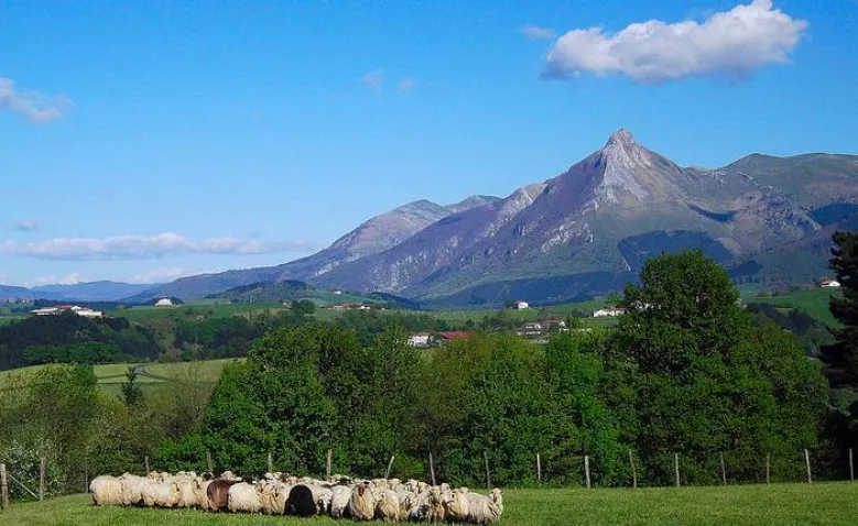
Early spring in the Basque Country, with temperatures up to 24 degrees
The southern wind will prevail, especially on the cantabrian side, and facilitate thermal rise.
Sunny and stable atmosphere for the whole week
It will be fresh at night and early in the morning, but with the help of the sun and the southern wind, temperatures will rise.

Leave the rain behind and there will be a sunny and stable atmosphere over the weekend
The wind will lose strength and maximum daytime temperatures will rise, but there may be frost at some points in Álava and Navarre.

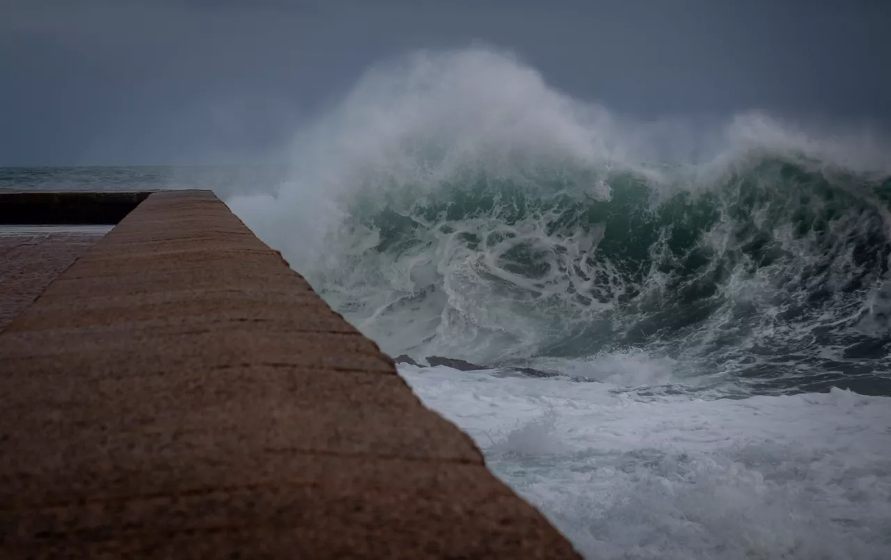
The wind is still blowing strong and the yellow warning will continue until the afternoon
The storm 'Pedro' has left damage in the Basque Country, with strong streaks in exposed areas and wind, and the warning activated by coastal risk will continue.
A front will bring fog and showers from the afternoon onwards
Wind waves of more than 100 km/h and waves of up to 4 meters are expected and the Basque Government will activate yellow warnings.