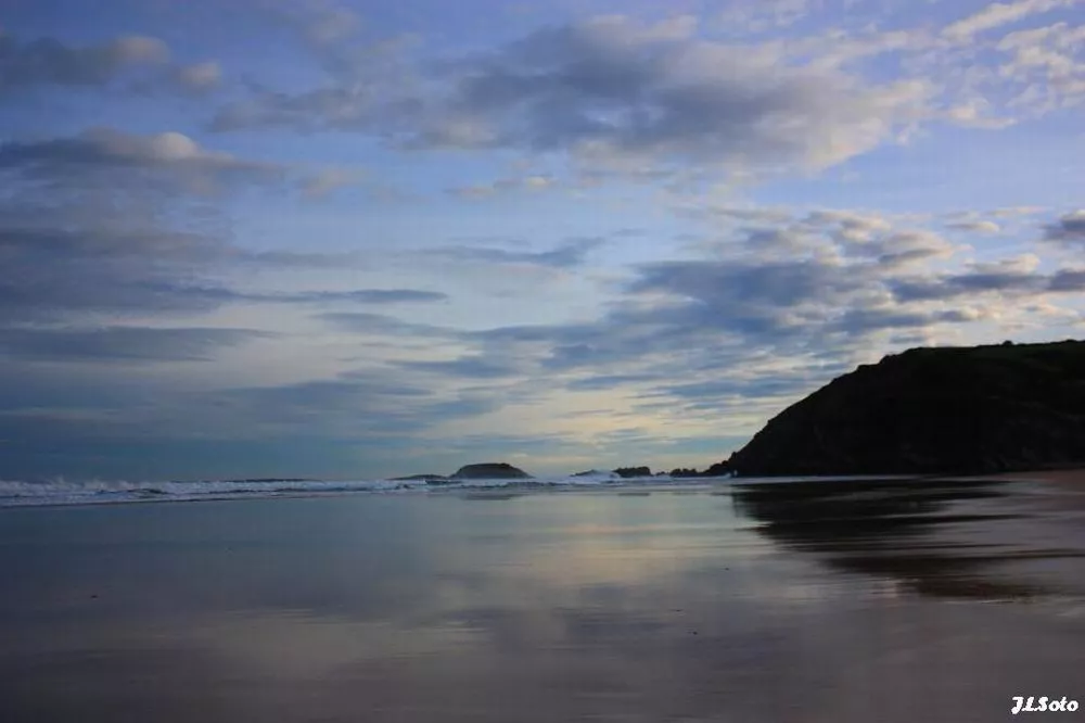
The week has started with zero and ice temperatures all over the Basque Country


The Basque Country woke up this Monday with very cold temperatures, with thermometers at zero values at dawn.
For example, in Bayonne, -3 ° C was recorded in the morning, as well as in some villages in the interior. In the Pyrenees, the morning lows have been even colder. In the other capitals, temperatures have ranged from -1 ° C to 1 ° C in the morning.
Monday will be cold, today thermometers will remain very low throughout the day, they will barely reach 5 ° C, and only in the northern half, where they will remain between 2-4 ° C inside.
Most hours of the day the rain will continue; fog will form in the inner valleys, and the rest will be clear. In the west, above all, clouds will accumulate, and there may be occasional precipitation.
The snow level could be around 300-500 meters, even lower, at night.
Yellow warnings for frost and extreme temperatures will be in effect from midnight until 12:00 and from 18:00 until midnight in the Ebro region and in central Álava. In Bizkaia and Gipuzkoa the warnings will be in effect from midnight until 10:00 and from 21:00 until midnight.
On Tuesday, at medium and low levels,theprobability of snow will be high. The snow level will be between 200 and 400 meters, but rainfall will be more abundant than in previous days, especially on the Atlantic side and during the first half of the day, so snowflakes may be visible even near sea level.
Itwill freeze again in different places, the wind will blow sharply from the north in the morning and leave an unpleasant atmosphere during the first half of the day. En the end of the day it is not ruled out that there will be storms or hail.
On the roads, watch.
Due to ice and snow, the Directorate of Traffic recommends that you drive carefully on the roads. The winter road plan is under way and recommends caution in a dozen ports:
Álava: Altube, Azazeta, Barrerilla, Bernedo, Garate, Puerto de Vitoria, Herrera, Kurtzeta, Opakua, Orduña and Zaldiaran.
Bizkaia: Barazar.
Navarre: In the Burgui-Isaba section there is snow on the road and it is necessary to use winter wheels or equipment. The ports of Salazar and Ochagavía are closed.
You might like

Sun dominates until Wednesday; Thursday rain and falling temperatures
Temperatures will be above average for this season, with highs of up to 20 ° C on the coast.

The week will be divided into two parts: from Monday to Wednesday, sunny and warm, and from Thursday, rainy and fresh
The spring atmosphere will prevail in the early days of March, and the thermometer will reach 16-20 ° C. As the end of the week approaches, the weather will stabilize, and the trend will continue for a few days.
Low temperatures and rain on Saturday, sun and southern wind on Sunday
On Saturday it will rain, but as the day progresses it will come out.

Rain and cooler temperatures are expected by the beginning of the weekend
On Friday at noon the wind will turn northwest, the clouds will enter and the temperatures will drop. The sad Saturday will be gray and the evening will cease. On Sunday we will see the sun again and the temperature will rise.

Arnaitz Fernandez: "Records of cold are decreasing, while records of heat are increasing."
"It is true that sudden changes in weather are common in the Basque Country, but warm situations are increasingly common compared to cold," adds Arnaitz Fernández.

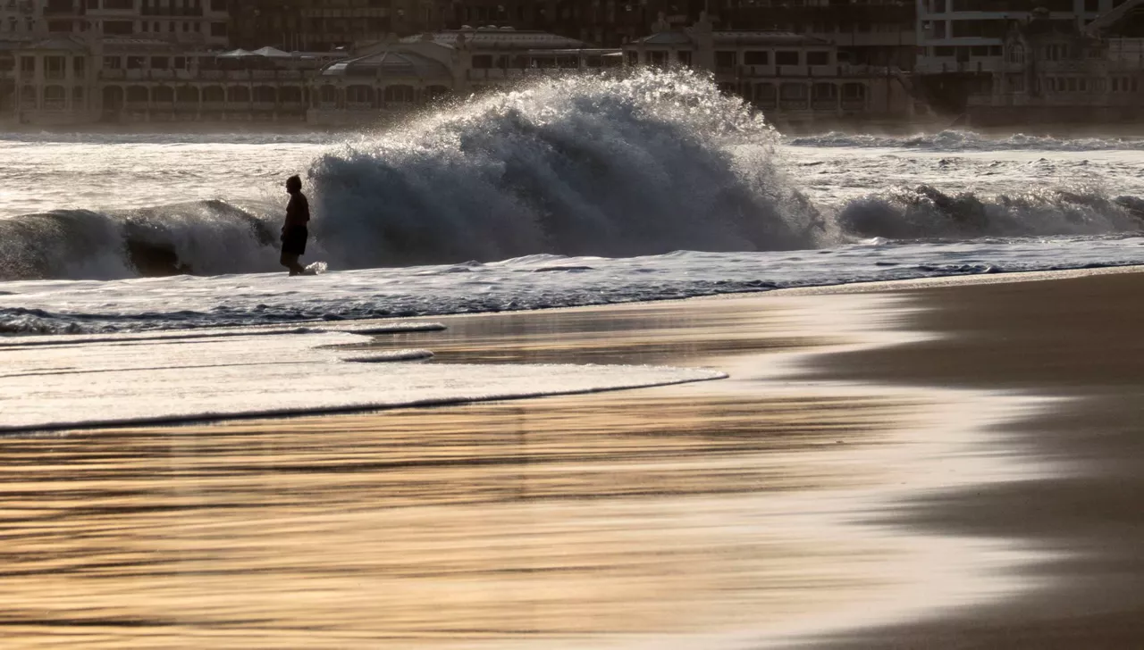
Early spring in the Basque Country, with temperatures up to 24 degrees
The southern wind will prevail, especially on the cantabrian side, and facilitate thermal rise.
Sunny and stable atmosphere for the whole week
It will be fresh at night and early in the morning, but with the help of the sun and the southern wind, temperatures will rise.
Leave the rain behind and there will be a sunny and stable atmosphere over the weekend
The wind will lose strength and maximum daytime temperatures will rise, but there may be frost at some points in Álava and Navarre.

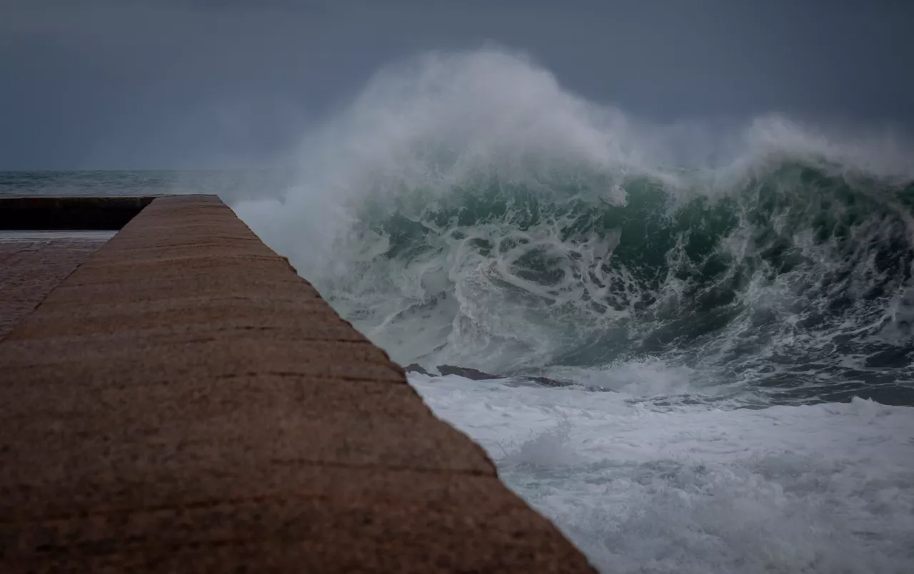
The wind is still blowing strong and the yellow warning will continue until the afternoon
The storm 'Pedro' has left damage in the Basque Country, with strong streaks in exposed areas and wind, and the warning activated by coastal risk will continue.
A front will bring fog and showers from the afternoon onwards
Wind waves of more than 100 km/h and waves of up to 4 meters are expected and the Basque Government will activate yellow warnings.