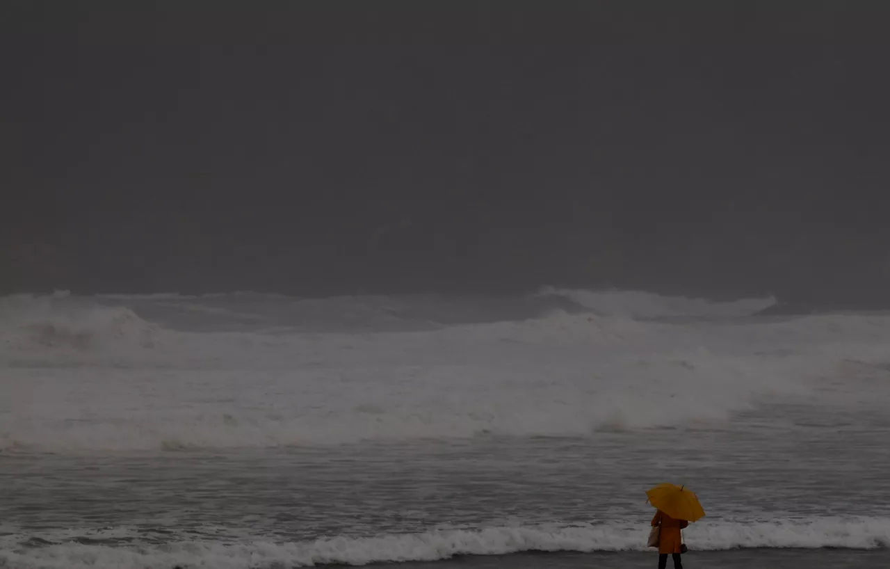
Orange alert for waves of up to 7 meters and streams of up to 150 km/h
The warning will be in effect until 18:00, due to the risk of navigation and impact on the coast. Wind warnings are also maintained, especially on the coast and in exposed areas.

The wind doesn't make the day any easier.

Due to Nils depression,the orange navigation risk alert is in effect ,with waves expected to be between 6 and 7 meters in the morning. The height will be above 5-6 meters, with the northwest bottom sea and periods ranging from 14 to 15 seconds, which will create a rough sea.
The wind is blowing from the west with a force of 6-7 km and a force of 8 km. In theearly morning there have been very strong streaks of 150 km/hin Matxitxako, 129 km/h in Jaizkibel, 119.2 km/h in Oiz and 94.9 km/h in Moreda.
In the northern Basque Country, there are serious consequences due to the storm, train service has been suspended until 3 p.m. on the lines between Hendaia and Akize.
In addition, until 6:00 p.m., the yellow warning will remain active due to the impact on the coast, as strong waves and west wind can cause splashes and friction on sea walks and seafloor.
From 18:00, the orange alert will go down to the yellow warning until midnight. The waves will go down to 4-5 meters and at the end of the day they will be around 3.5 meters. The wind will lose intensity, during the night it will turn southwest and in the last hours it will be 3 meters strong.
The authorities recommend extreme precautions, especially on the coast and in exposed areas, where the wind can cause the fall of branches, objects, and urban furniture.
You might like

When will it stop raining?
On the Cantabrian side the yellow warning will be maintained until 09:00 tomorrow, but on Wednesday another depression will enter, called Pedro, according to our EITB Eguraldia colleagues.

Yellow warning for heavy rains in Bizkaia, Gipuzkoa, northern Navarre and northern Navarre
Instability will return strongly to the Basque Country after the short weekend break. Rainfall will be constant throughout the day and there may be significant agglomerations, especially on the Cantabrian side.
The yellow warning for heavy rains will be activated again tomorrow in Bizkaia, Gipuzkoa, northern Navarre and Iparralde
According to the Euskalmet forecast, more than 60 litres per square metre will accumulate in 24 hours. In Navarre, the accumulated rainfall will be 40 l/m² in 12 hours.

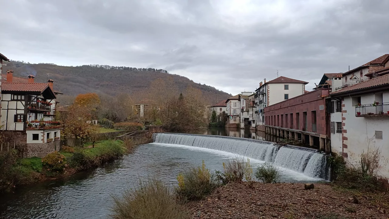
Preemergencia en los ríos Arga y Elorz, en Pamplona, por la subida del caudal
Navarra se encuentra este sábado en aviso amarillo por fuerte vientos, lluvias, nevadas y aludes.
Preemergencia en los ríos Arga y Elorz, en Pamplona, por la subida del caudal
Navarra se encuentra este sábado en aviso amarillo por fuerte vientos, lluvias, nevadas y aludes.

Storm Oriana will be very intense: it will leave streams and rains of 110 km/h and snow at 800 meters
The Department of Safety and Security maintains until noon yellow warnings for precipitation and wind. In the interior of the ACV and the Navarre Pyrenees, snowfall warnings will remain active until night. The yellow warning for maritime risk will also remain active throughout the day.
The pre-emergency phase of the flood plan has been implemented in Navarre
In particular, this pre-emergency phase has been activated at 3 p.m. due to the forecast of heavy rainfall in northern Navarre, with special monitoring of the weather.

Nils is leaving, but Oriana is coming. The storm that will come brings strong winds and waves of up to four meters
The Department of Safety and Security has again activated yellow warnings in Bizkaia and Gipuzkoa, starting on Friday afternoon, due to wind and risk to navigation, after a strong storm these days.
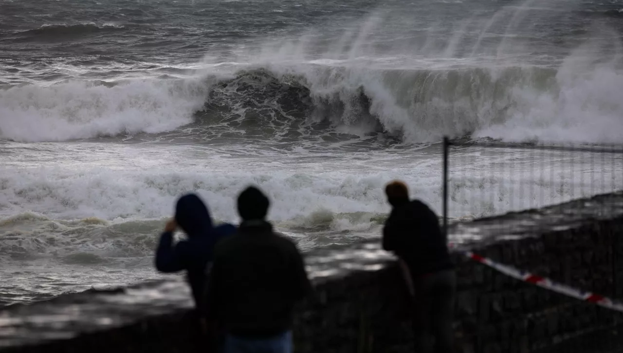
Orange alert for waves of up to 7 meters on Thursday and winds of 120 km/h
The alert will be in effect from midnight until 6:00 p.m. for navigational hazards, after which the wind yellow warning will be activated.