After the last rays before the rain comes the winter weekend


When it seemed that spring was coming and we could begin to keep the thickest coats, the weather will remind us that it is still winter and that the weather of the time is a good sign, after all.
Today, Thursday, the sunny atmosphere will prevail and the temperatures will rise, and once the morning fog and cloud cover have dissolved, the day will be bright and mild. The maximum temperatures will rise and around 16-18 ° C the maximum will blow thanks to the southern wind that will blow smoothly during the first half of the day, although it will change north at the end of the day.
On Friday, during the first halfof the day, warm temperatures will continue with clouds and light and southwest wind, which will bring the thermometers back up to 18-19 ° C, but inthe afternoon, the weather will change radically. The wind will turn northwest and blow sharply.
The wind will continue to blow from the northwest throughout the day on Saturday , which will bring with it a winter atmosphere, cold, rain storms, and even snow on the summits. Maximum temperatures will drop throughout the territory, will not exceed 7-9 ° C inland and will barely reach 11-12 ° C on the coast.
On Sunday it seems that the highlands will calm down a little, but it will be a cloudy, humid, coldday. The northwest wind will blow loose and there may be weak rain, especially on the Cantabrian side. Temperatures will remain similar and there may be weak frosts in mountain areas and at some points in Álava.
You might like
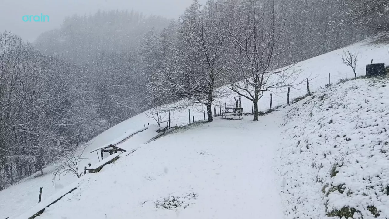
Snow returns to the Basque Country on the eve of spring
There's only one week left before winter ends, but it's still cold, it's raining and snowing in the highest places today.
Change of weather in the afternoon: rain and cold coming for the weekend
The morning will be bright and warm, but change is coming for the afternoon: the northwest wind will come in and bring rain, lower temperatures and a winter atmosphere for the weekend.

Clouds and light and rain will alternate at the beginning of the week
From the afternoon the cloud cover will increase and there will be showers. On Tuesday, as the hours go on, the cloud cover will decrease and the light will open, and in the afternoon the risk of showers will be lower.
The week comes changing and confused
From Monday to Wednesday it will rain intermittently, while on Thursday and Friday the sun and mild temperatures will shine, and on the weekend it will get worse again, returning to the winter.

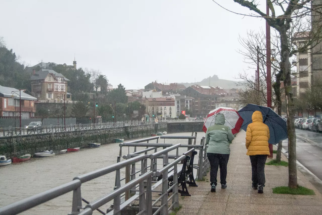
Yellow warning this Friday in Bizkaia and Gipuzkoa for persistent rainfall
It will be in effect throughout the day, as it can accumulate more than 60 litres/m2. The weather will be cloudy and the rain will be the protagonist, the showers will be abundant and the wind will blow from the north at certain times.

The rain is coming back and temperatures will drop
The turbulent and unstable atmosphere will be maintained at least until the weekend.

Sun dominates until Wednesday; Thursday rain and falling temperatures
Temperatures will be above average for this season, with highs of up to 20 ° C on the coast.

The week will be divided into two parts: from Monday to Wednesday, sunny and warm, and from Thursday, rainy and fresh
The spring atmosphere will prevail in the early days of March, and the thermometer will reach 16-20 ° C. As the end of the week approaches, the weather will stabilize, and the trend will continue for a few days.
Low temperatures and rain on Saturday, sun and southern wind on Sunday
On Saturday it will rain, but as the day progresses it will come out.