Change of weather in the afternoon: rain and cold coming for the weekend
The morning will be bright and warm, but change is coming for the afternoon: the northwest wind will come in and bring rain, lower temperatures and a winter atmosphere for the weekend.


After the unstable weather of the last few hours, there will be a remarkable change from the afternoon onwards. After some days of warm temperatures and almost spring sensation, the northwest wind will cause rain and a drop in thermometers .
The maximum temperatures will be around 19 degrees in Bilbao, 18 degrees in San Sebastian and Pamplona and 16 degrees in Vitoria, while the minimum temperatures will be 8 degrees in Bilbao, 6 degrees in San Sebastian, 4 degrees in Vitoria and 3 degrees in Pamplona.
Starting in the afternoon,the picture will change: then the wind will blow to the northwest and blow more strongly. With this turn the first showers will arrive, initially on the cantabrian side, but at night they will spread throughout the territory, and temperatures will drop.
On Saturday there will be a winter atmosphere with northwest wind throughout the day and rain, temperatures will drop significantly and there will be storms. There may be hail. Temperatures will be between 6 and 12 degrees in Bilbao, between 5 and 11 degrees in San Sebastian, between 2 and 9 degrees in Pamplona and between 2 and 8 degrees in Vitoria.
On Sunday a somewhat quieter atmosphere is expected, but it will continue with cold, wet, cloudy atmosphere, loose northwest wind and the possibility of weak rains, especially on the cantabrian side.
For Monday , the skies will remain very cloudy and there will be a chance of rain, but in the afternoon the rainfall will decrease, with loose to moderate northwest wind tending to be more variable and loose at the end of the day, while temperatures will rise slightly.
You might like
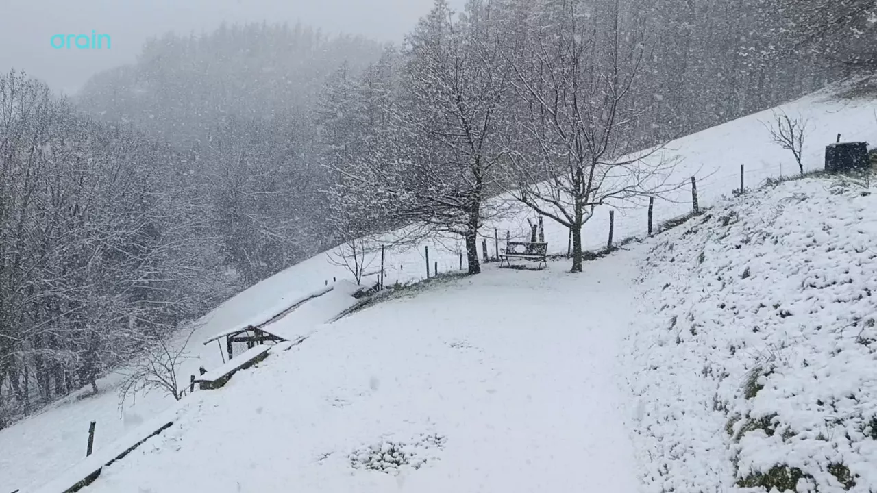
Snow returns to the Basque Country on the eve of spring
There's only one week left before winter ends, but it's still cold, it's raining and snowing in the highest places today.

After the last rays before the rain comes the winter weekend
Although the weather will be bright today and tomorrow morning, Friday afternoon will be accompanied by rain and on Saturday the summits could even be whitened.

Clouds and light and rain will alternate at the beginning of the week
From the afternoon the cloud cover will increase and there will be showers. On Tuesday, as the hours go on, the cloud cover will decrease and the light will open, and in the afternoon the risk of showers will be lower.
The week comes changing and confused
From Monday to Wednesday it will rain intermittently, while on Thursday and Friday the sun and mild temperatures will shine, and on the weekend it will get worse again, returning to the winter.

Yellow warning this Friday in Bizkaia and Gipuzkoa for persistent rainfall
It will be in effect throughout the day, as it can accumulate more than 60 litres/m2. The weather will be cloudy and the rain will be the protagonist, the showers will be abundant and the wind will blow from the north at certain times.
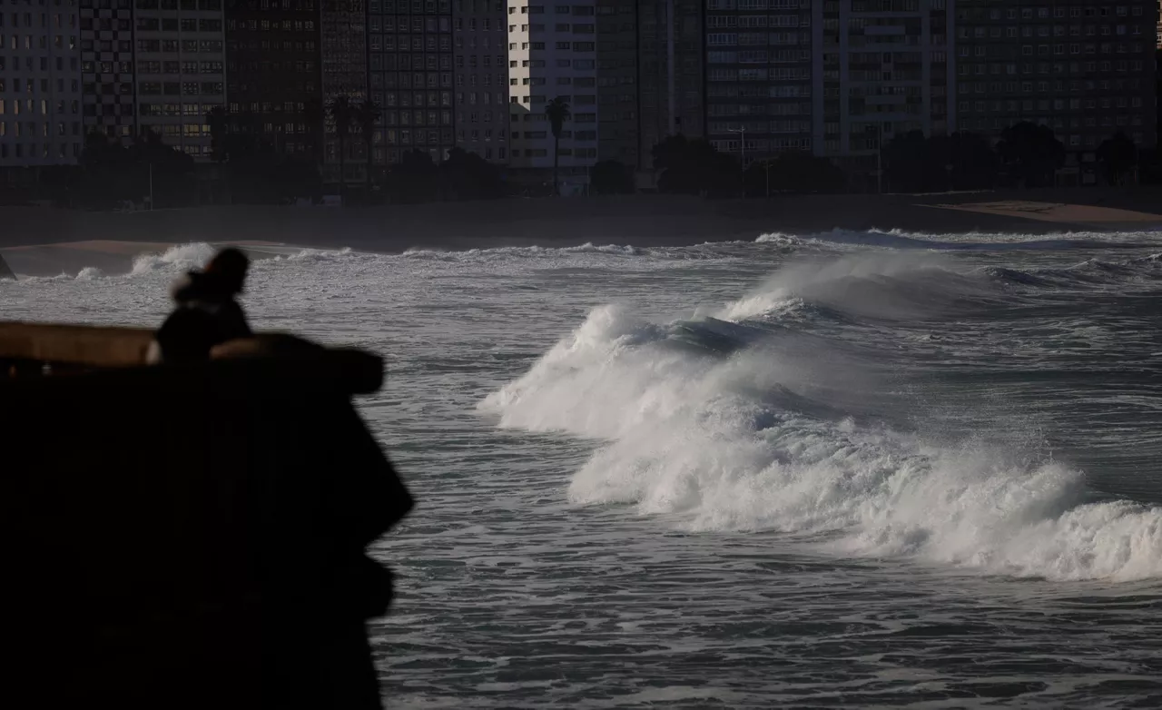
The rain is coming back and temperatures will drop
The turbulent and unstable atmosphere will be maintained at least until the weekend.

Sun dominates until Wednesday; Thursday rain and falling temperatures
Temperatures will be above average for this season, with highs of up to 20 ° C on the coast.

The week will be divided into two parts: from Monday to Wednesday, sunny and warm, and from Thursday, rainy and fresh
The spring atmosphere will prevail in the early days of March, and the thermometer will reach 16-20 ° C. As the end of the week approaches, the weather will stabilize, and the trend will continue for a few days.
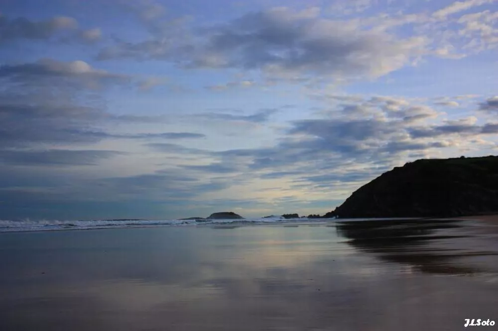
Low temperatures and rain on Saturday, sun and southern wind on Sunday
On Saturday it will rain, but as the day progresses it will come out.