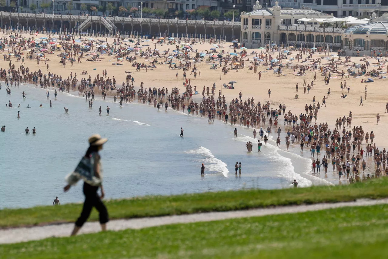
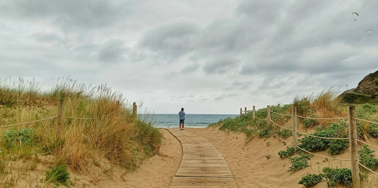
The heat will continue today in the Basque Country, but there could be a storm in the afternoon
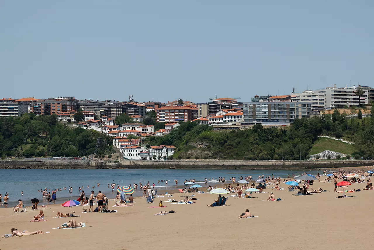
The highest maximum temperatures will be in Arrasate/Mondragon and Pamplona/Iruña, up to 34 ° C. In Bilbao, Vitoria-Gasteiz, Laguardia and Baiona temperatures will also exceed 30 ° C. Donostia temperatures are expected to be slightly lower, 26 ° C.


HeatK will continue on Sunday morning in Euskal Herria, with maximum temperatures above 30 ° C in most municipalities, according to Euskalmet. Thus, the summer atmosphere will prevail in the early hours. In some parts of the northwest thermometers could drop between two and three degrees, while in the rest hardly any change is expected, and in the eastern half even slight rises.
One more day the sunwill shine in the morning , but in the afternoonthe cloudsof evolution will develop and there may be thunderstorms, especially in the interior. These storms may be accompanied by strong wind streaks . In the early hours the wind will blow from the south and in the afternoon it will turn to the north.
In Bilbao(31 ° C), Vitoria-Gasteiz(32 ° C), Laguardia(32 ° C) and Baiona(30 ° C) will also exceed 30 ° C. In Donostia-San Sebastián, however, temperatures are expected to be slightly lower than 26 ° C.
Next week.
On Monday the maximum temperatures will drop, but we will continue with the summer atmosphere. We will see cloudy skies at cloudy intervals with medium and high clouds. In the afternoon clouds of evolution will develop with the possibility of stormy showers, especially in the south. In addition, during the night, low clouds may form along the coast. Wind will blow from the west and northwest, predominantly from the north in the second half of the day.
The highs will be between 24 ° C in Donostia-San Sebastián and 31 ° A0C in Arrasate-Mondragon. Bilbao will reach 28 ° C and Vitoria-Gasteiz, Laguardia and Pamplona/Iruña will be around 30 ° C .
On Tuesday we will continue in the summer weather, with temperatures falling slightly along the coast, but rising in the south. Sunny atmosphere, with some low clouds along the coast early in the morning and some clouds of evolution in the afternoon in the interior; low probability of stormy showers. Wind from the west on the coast and from the north on the interior.
You might like

Temperatures continue to rise and a yellow warning has been activated in Navarre
Temperatures will rise between 2 and 3 degrees, with values between 30 and 35 degrees.
Wednesday the heat will return
This Monday and Tuesday they arrive with cooler temperatures, on the verge of a thermometer rise from Wednesday: they will exceed 30 degrees inland.
How does a solar eclipse affect animals?
Most animals on the planet behave according to sunlight, so that an eclipse affects them greatly, but not all in the same way. Some simply observe the eclipse, others adapt their activities to a lack of light.

The last strawberries and frescoes, the prelude to the summer weekend
Although Thursday morning will still be cool and gloomy, it will be clear and until Sunday thermometers will rise a little daily. It will be a summer weekend, sunny and with maximum temperatures around 30 degrees Celsius.
Very coated and cool atmosphere, the first days of the week
At least until Thursday afternoon there will be no sunshine in our country. We will have temperatures below 20 degrees until then, and even if it is little, it will get wet, especially because of the rain that will fall in the mornings.
The weekend is full of clouds
This first weekend in June we will have a new front and cloud cover will dominate on Saturday, with temperatures rising significantly on Sunday.
The clouds, the sun coming and going, and the rain
The weather will be variable over the next few days, usually it won't get much wet, but there will be a tendency to rain for several days. The sun will also appear occasionally, and temperatures will fluctuate, depending on the day.

The three phenomena of the total solar eclipse are visible, thanks to augmented reality
The pearls of Baily, the diamond ring and the spectacular suncrown can be seen from 8:27 p.m. on August 12. The weather has shown us these phenomemoos in the third installment of reports on the important astronomical event.
Eighth and Last Day of the May Warming: Starting on Friday, temperatures will drop sharply
The orange alert remains active in the ACV, while in the Navarre Bank and the French Basque Country the yellow warning has been activated.