Yellow warning for Thursday in Hego Euskal Herria for very high temperatures
Maximum temperatures could be around 36 degrees in the Ebro area, south of Álava, as in the centre of Navarre, and 38 degrees in the Ribera, while on the coast it will not be very hot, with temperatures around 25 degrees.
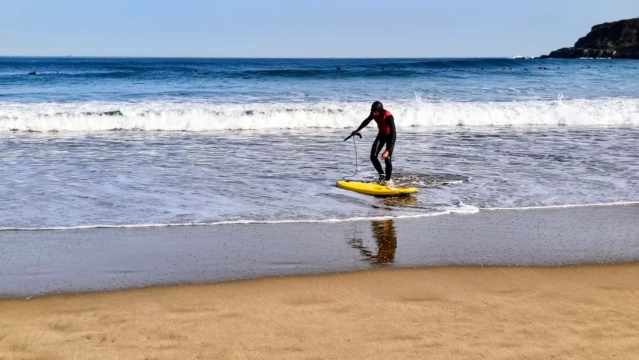
. Stock Photo: Gurutze Azcarate")

The Basque Government will reactivate the yellow warning this Thursday for very high temperatures, which could exceed 36 degrees in southern Álava, according to the Department of Safety.
The Basque Autonomous Community (CAV) is already on yellow warning for very high temperatures from 13:00 to 19:00 on Wednesday.
Maximum temperatures are expected to be around 36 degrees in the Ebro area, 24 degrees on the coast, 30 degrees inside the Cantabrian ledge and 32-33 degrees in the transition zone.
This Thursday, the yellow warning will be reactivated for the risk of extreme temperatures from 13:00 to 19:00.
Maximum temperatures on the coast may be around 25 degrees, inside the Cantabrian ledge around 30 degrees and in the transition zone around 32 degrees.
AEMET has also activated the yellow warning for high temperatures this Wednesday in most of Navarre territory, and the same will be repeated on Thursday from 13:00 to 20:00.
The highs will be 36 degrees in the center of the Foral Community, 34 degrees in the Pyrenees and 38 degrees in the Ribera.
Meteofrance, on the other hand, does not foresee a warning for the Northern Basque Country.
You might like

Spring atmosphere and sun will dominate Easter weekend
Euskalmet and AEMET forecasts a change of trend in the ACV and Navarre. Easter weekend will be sunny and temperatures will be higher.

It will be news. The sun is coming
A summary of the news of the present in a minute.

We'll start Easter with a winter atmosphere, and it'll start to warm from Friday
From Friday, the weather will stabilize and temperatures will rise.
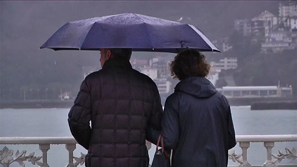
No sunshine, no heat, at least until Friday
The rain and the cold will be remarkable during the first days of the week, and Thursday will also be grey, without ruling out the showers.
Yellow warning for snow level drop below 1,000 meters
From midnight to 18:00 on Sunday, the snow level will drop to 700-800 meters in the ACV, and in the Navarre Pyrenees the warning will start at 21:00.
Cold, rain and snowfall for the weekend
The snow level will go down and the intensity of the rains will also change.

A front will bring a change of weather: rain and falling temperatures until Friday
Starting at noon, a front will enter and rain, and maximum temperatures will drop to around 11-14 degrees.

Farewell to the spring atmosphere
Tuesday will be the sunniest day of the week. The rest of the days are sad and dark, though a little truce is expected by Friday.
THE SUN AND THE SPRING ATMOSPHERE AT THE END OF WINTER
This Tuesday and the next few days the temperature will rise moderately, accompanied by the southern wind. Sunny atmosphere is expected, little cloud and temperatures around 25ºC on the cantabrian side. Asteburura aldaketa, eta could rain a little.
Days of full spring atmosphere
We'll have light and temperatures above 20 degrees in the week that starts spring, but the morning of Mondays will be pretty rough.