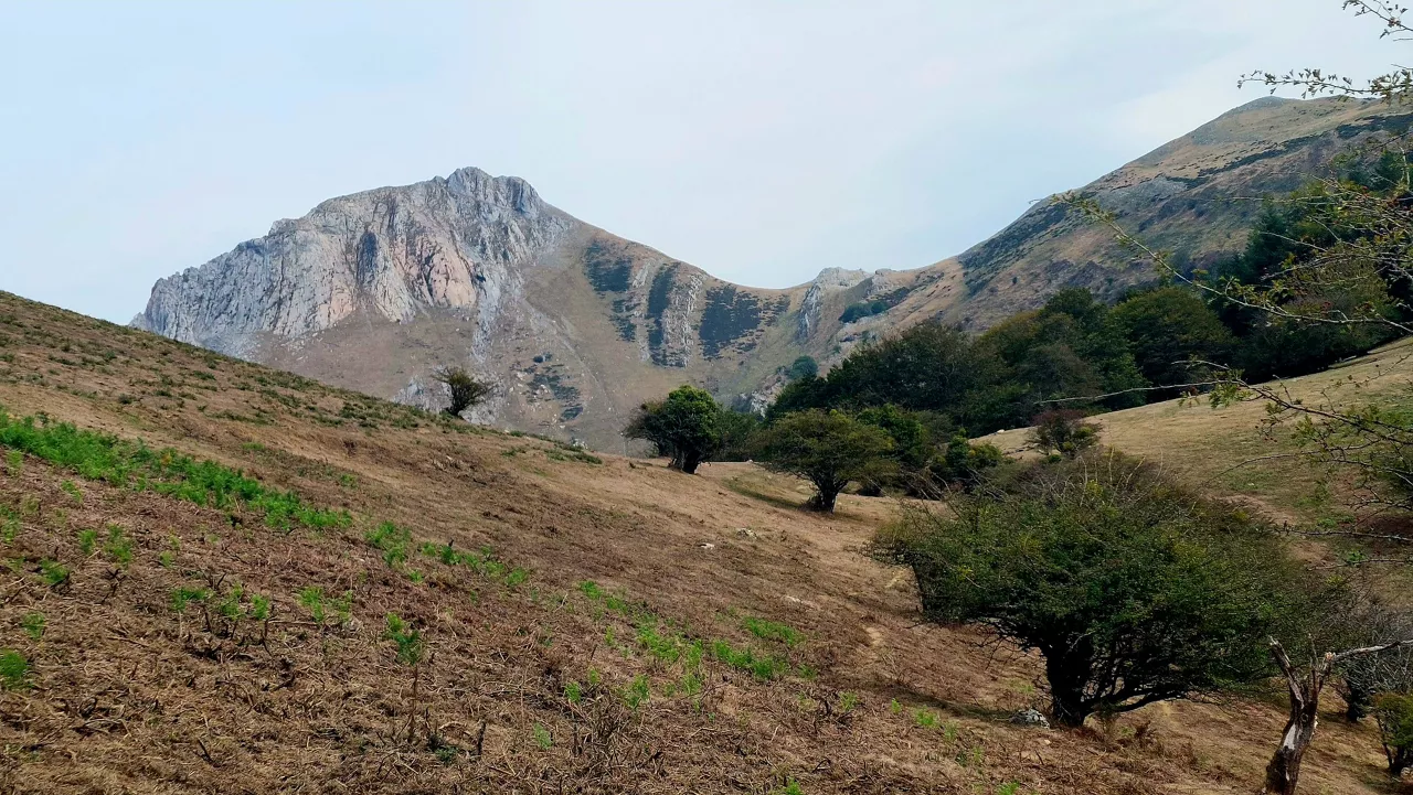
THE SUN AND THE SPRING ATMOSPHERE AT THE END OF WINTER
This Tuesday and the next few days the temperature will rise moderately, accompanied by the southern wind. Sunny atmosphere is expected, little cloud and temperatures around 25ºC on the cantabrian side. Asteburura aldaketa, eta could rain a little.


With spring knocking on the door, from this Tuesday and in the next few days the thermometer will rise significantly, supported by the southern wind, according to the prediction of the Basque Meteorology Agency, Euskalmet.
Thus, this Tuesday we will have a spring day, and maximum temperatures will rise significantly. After the morning mist dissipates, the skies will remain clear for the rest of the day. Sunny atmosphere and light southern wind. After a cold dawn, temperatures below 5 ° C will rise significantly, with maximum values above 20 ° C and near 25 ° C on the cantabrian side.
On Wednesday we will have a similar weather, but from morning onwards there may be some high clouds, which will have no consequences. The minimum temperatures will rise significantly on the cantabrian side, while in the Mediterranean they will not rise any further, but it is unlikely that there will be frost. The maximum temperatures will not change much.
On Thursday, spring weather will continue, with cloudy or clear skies with fog and low cloud intervals on the axis of the Ebro Valley, maximum temperatures in slight decline along the coast and fairly or noticeably in the interior, especially in Álava.
There 's a change for the weekend, it could rain a little bit.
You might like
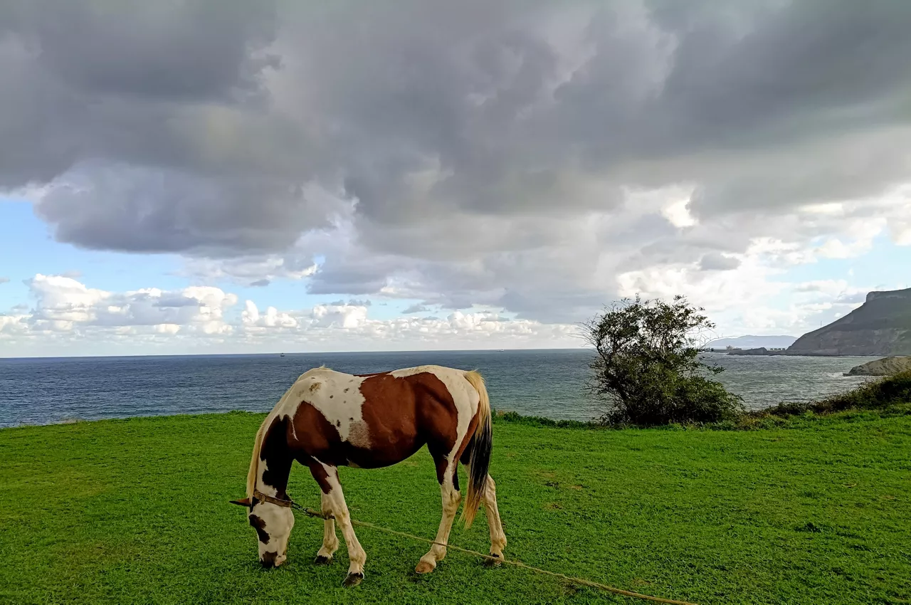
Changing atmosphere this week

Autumn atmosphere for the weekend

Sunny coming week

Heavy rains have left large pools of water in several villages in the South Basque Country
Yellow warning for heavy rains also this afternoon
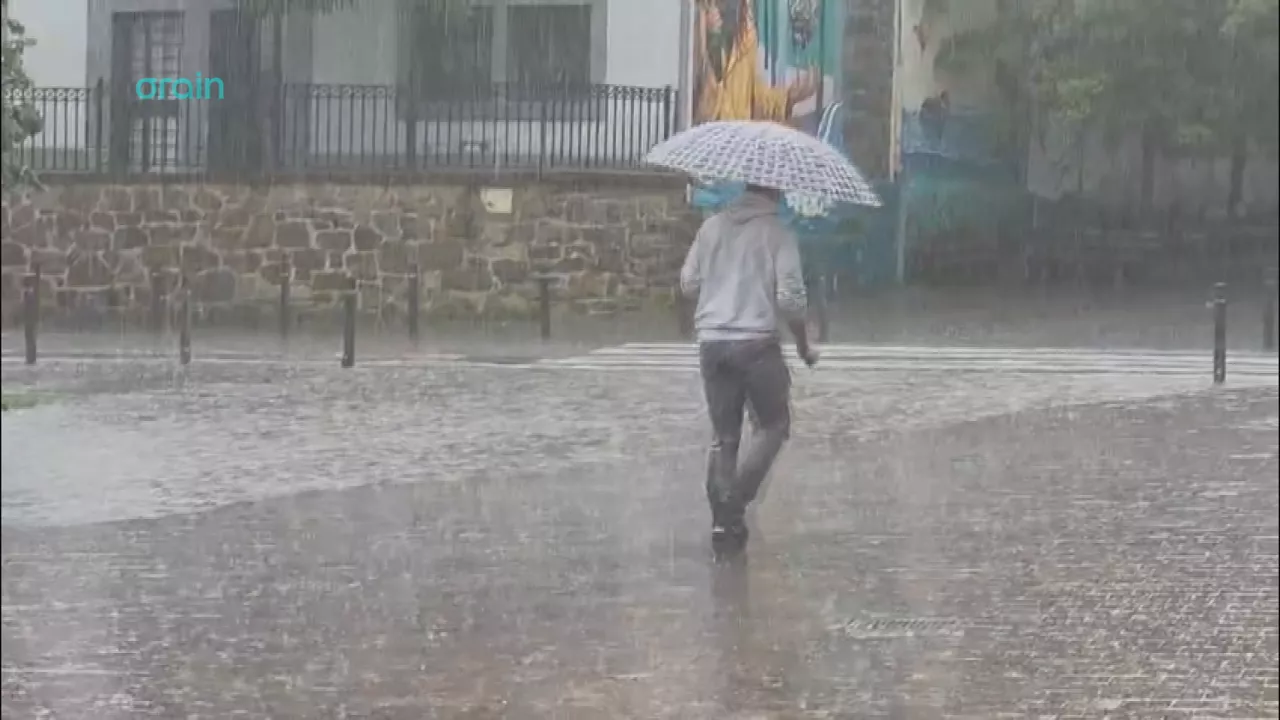
Yellow warning for heavy rains today and tomorrow afternoon

Rain and rain till the weekend

After the rains, the weather will be more stable today, but faint showers are expected in the afternoon
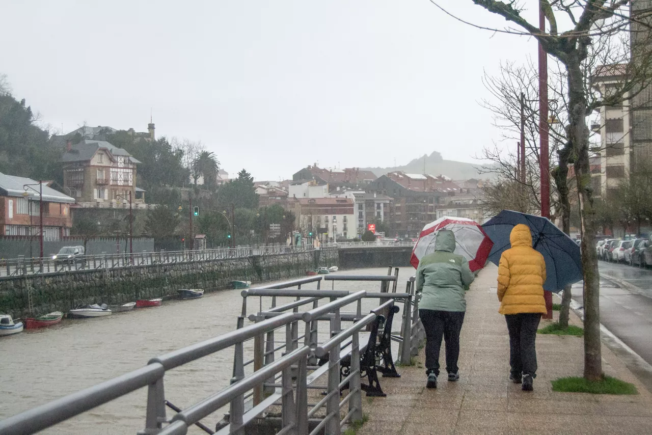
Yellow notice for Saturday afternoon in the ACV due to heavy rains