Strong heat will prevail on Monday in Hego Euskal Herria: 36 degrees in Álava and 37 degrees in Navarre
In the Basque Country, due to extreme temperatures, the yellow warning has been activated inside for this Monday. On Tuesday, a slight thermal relief will arrive, but on Wednesday the thermometers will rise again.


The first wave of summer heat will arrive in Hego Euskal Herriaon Monday and temperatures will be around 36 degrees south of Álava and 37 degrees south of Navarre at points such as Estella. The Basque Government's Department of Safety has activated for today, between 13:00 and 19:00, the yellow warning for high temperatures inside the Basque Country, where thermometers will fire mainly on the Ebro axis.
Euskalmet predicts that the highs will be 34 degrees Celsius in the Cantabrian area, 35 degrees Celsius in the transition zone and 36 degrees Celsius in southern Álava. On the contrary, they will be somewhat warmer on the coast and maximum temperatures of 28 degrees Celsius are expected. The skies will remain clear, except for morning fog and passing high clouds.
In Navarrethe heat will be even greater: in Estella it will be 37 degrees, in Pamplona and Tudela 36 and in Roncal 35. Although the minimum temperatures will remain relatively mild, dry atmosphere and cloudy skies are expected.
In the Basque Autonomous Community, temperatures will be between 24 and 28 ° C. A weak front at the end of the day will leave clouds and sirimiri on the Basque coast, but the skies will be clear inside. In Pamplona the temperature will drop to 28 ° C and in Estella to 30 ° C. However, in the south of Navarre the heat will continue and in Tudela the minimum will be very high.
According to weather forecasts, the thermal relief will be short. From Wednesday, temperatures will rise in Navarre and the highs will reach 40 degrees in Estella and 39 degrees in Pamplona and Tudela, which will further strengthen the heat wave that will mark the week.
You might like

Spring atmosphere and sun will dominate Easter weekend
Euskalmet and AEMET forecasts a change of trend in the ACV and Navarre. Easter weekend will be sunny and temperatures will be higher.

It will be news. The sun is coming
A summary of the news of the present in a minute.

We'll start Easter with a winter atmosphere, and it'll start to warm from Friday
From Friday, the weather will stabilize and temperatures will rise.
No sunshine, no heat, at least until Friday
The rain and the cold will be remarkable during the first days of the week, and Thursday will also be grey, without ruling out the showers.
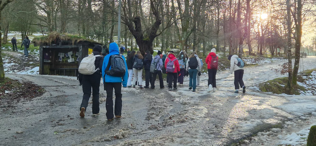
Yellow warning for snow level drop below 1,000 meters
From midnight to 18:00 on Sunday, the snow level will drop to 700-800 meters in the ACV, and in the Navarre Pyrenees the warning will start at 21:00.
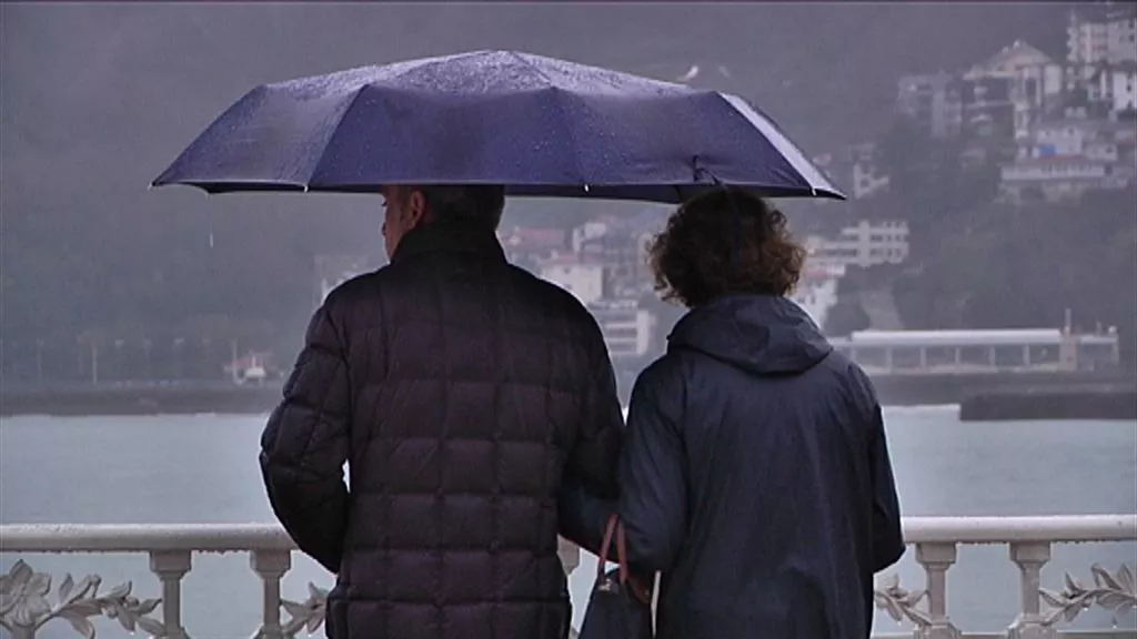
Cold, rain and snowfall for the weekend
The snow level will go down and the intensity of the rains will also change.

A front will bring a change of weather: rain and falling temperatures until Friday
Starting at noon, a front will enter and rain, and maximum temperatures will drop to around 11-14 degrees.

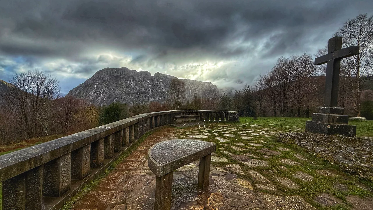
Farewell to the spring atmosphere
Tuesday will be the sunniest day of the week. The rest of the days are sad and dark, though a little truce is expected by Friday.
THE SUN AND THE SPRING ATMOSPHERE AT THE END OF WINTER
This Tuesday and the next few days the temperature will rise moderately, accompanied by the southern wind. Sunny atmosphere is expected, little cloud and temperatures around 25ºC on the cantabrian side. Asteburura aldaketa, eta could rain a little.

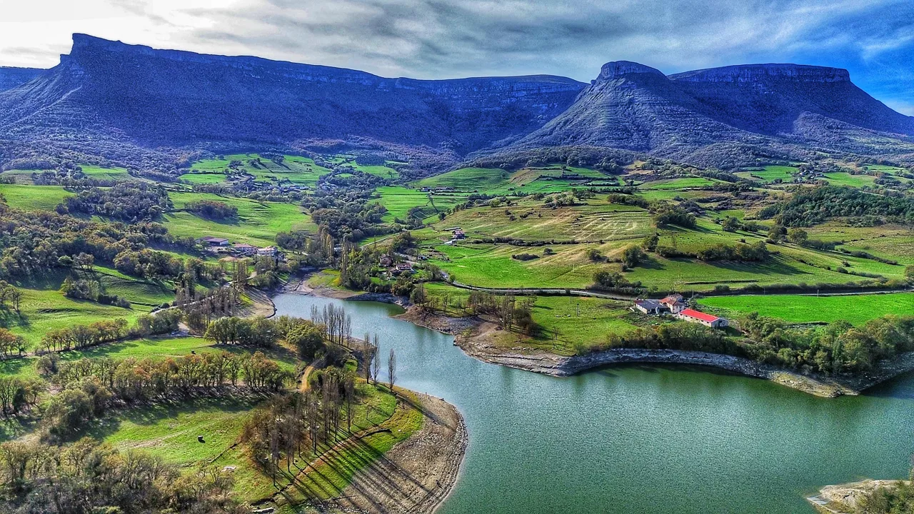
Days of full spring atmosphere
We'll have light and temperatures above 20 degrees in the week that starts spring, but the morning of Mondays will be pretty rough.