Warm and clear atmosphere ends on Wednesday


The warm atmosphere of the weekend will continue at the beginning of this week, but with Wednesday it will leave, as rain and a marked drop in temperature will arrive.
On Monday we will continue with a dry and warm atmosphere, the minimum temperatures will drop slightly, but no frost is expected, while the highs will be similar to those on Sunday. Little cloud will appear in the sky, but early in the morning fog will form again in the inner corners. At the end of the day the southern wind will intensify.
On Tuesday, in general, the atmosphere will be calm and the rain will continue for most of the hour. For most of the time we will see clouds and light. At the end of the day a front will approach from the west, clouds will increase and there will be some rain. The southern wind will blow proudly, with very strong streaks in the exposed areas, and with the entry of the front it will lose strength.
On Wednesday the atmosphere will be slow and rainy. The skies will be covered all day. It will be almost incessantly wet, however, with generally weak rain and precipitation at the end of the day. The maximum temperatures will drop significantly and remain below 15 ° C. The minimum temperatures will rise slightly. The wind will blow loose and variable and the western component will predominate along the coast.
On Thursday the warm and arid atmosphere returns, and this trend will continue until Friday, while by Saturday the rain and temperatures are expected to drop.
You might like

Cloud cover and risk of rain in the interior and wide clearing along the coast at the beginning of the week
The wind will blow from the south, and be rough during the first half of the day. As for temperatures, the highs will hardly change, but the lows will rise slightly.
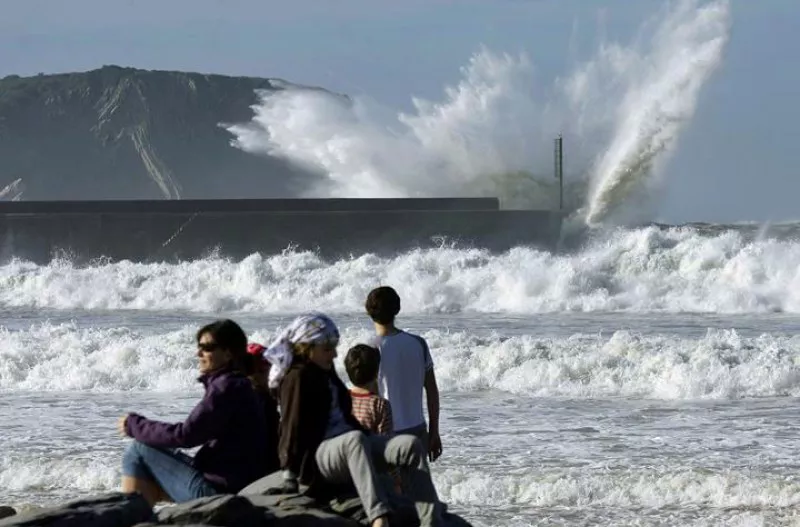
Yellow warning for coastal risk will be activated on Saturday, as waves of 3.5 metres high are expected
The warning will be in effect from midnight until noon on Saturday.

Wind waves of 126 km/h were recorded this morning in Matxitxako
The yellow wind warning will be in effect in Bizkaia until noon. In exposed areas, streams of more than 100 km/h can be measured, especially in the west, while in unexposed areas they can be around 80 km/h.
Warm and clear atmosphere to finish the week and start what's coming
Temperatures will reach 20 degrees Celsius on the Cantabrian side, and the week will begin with the same trend.

Eguraldi egonkorra eta tenperaturen igoera abenduko zubirako
Euskalmeten arabera, atertzera egingo du eta ostarteak zabalduko dira.
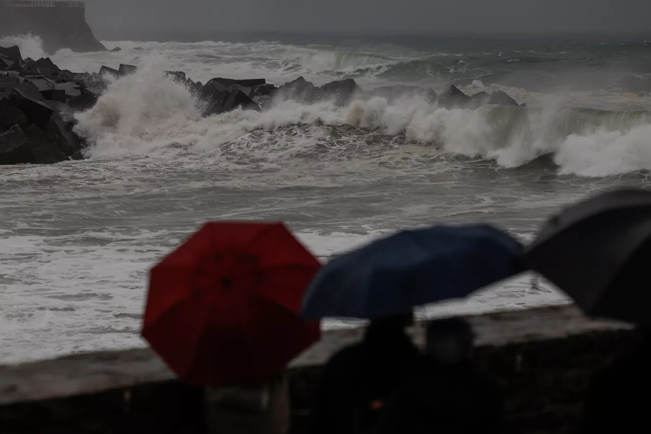
Rains still in the Basque Country today with yellow warning of coastal risk
Euskalmet will keep the yellow warning until Friday due to the impact of waves on the coast and the risk of navigation in the first two miles; it will be a very rainy day, leaving the maximum rainfall in the northern half.
Yellow coastal risk alert today and tomorrow in the Basque Country
Euskalmet has activated the yellow coastal risk alert for Wednesday and Thursday, especially during the first two miles of navigation and the impact of waves on the coast.
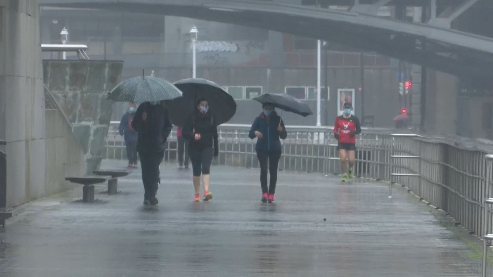
Rain and low temperatures will dominate the first week of December in the Basque Country
From Monday, the weather will stabilize. However, on Tuesday a new cold round will bring rain and covered skies; and temperatures will drop; and ice will be brought at the highest points.

Sun, increasing cloud cover and fog in the Basque Country
According to Euskalmet, this Friday the temperature will rise slightly and the sky will be somewhat stirred.