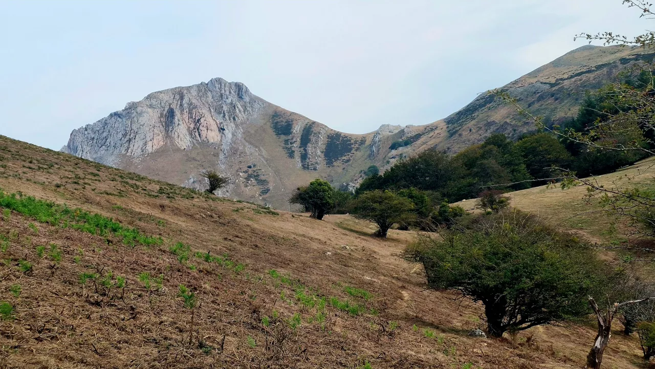
Rain and low temperatures will dominate the first week of December in the Basque Country
From Monday, the weather will stabilize. However, on Tuesday a new cold round will bring rain and covered skies; and temperatures will drop; and ice will be brought at the highest points.

Rain in Bilbao.

Rain and low temperatures will mark the beginning of December in South and North Euskal Herria, although it will remain stable at first.
Accordingto Euskalmet data, on Monday the skies will be cloudy and fresh temperatures are expected, but pleasant in most parts of Hego Euskal Herria. Inside, such as Álavaand some areas of Navarre, minimum temperatures can drop to 0 degrees, forming ice.
In the capitals of Hego Euskal Herria, a quiet day is expected and the skies will be half cloudy. In Vitoria-Gasteiz, we will be cold in the morning, close to 0 ° C. The emperor could cause a cold ice in high places.
Pamplonan will also start the day cold, with a minimum of -1 degrees, but the day will remain relatively stable.
Also in Iparralde , on Monday we will have a stable atmosphere and the skies will be half cloudy. In Baionathe temperature will be between 4 and 15 degrees and there will be high clouds and low clouds throughout the day, but no rain. In Donibane Garaziand other towns in the interior, the day will be fresh, with temperatures between 5 and 13 degrees, and in the morning the atmosphere will be colder.
For Tuesday, the situation will change with the arrival of a cold front on the Cantabrian side. In Hego Euskal Herria, rainwill begin from the morning, especially on the coast and in the interior of Gipuzkoa and Bizkaia , while in Navarre and the North the skies will be covered and we will have some weak rainfall. Temperatures will drop as the day progresses, and temperatures are expected to reach 7ºC.
In the Northern Basque Country, the weather will be more unstable, the skies will be covered and it will rain throughout the day. In Biarritz, for example, the situation will be changing, with the possibility of some occasional but not intense rain. Temperatures will range between 6º and 9º.
During the week the rain will continue in Hego Euskal Herria, especially on the coast and in mountainous areas. In addition, in the Pyrenees it can snow above 1300 meters. The weather will be unstable, with precipitation and low temperatures starting on Wednesday, especially in the interior.
You might like
Changing atmosphere this week
Autumn atmosphere for the weekend
Sunny coming week
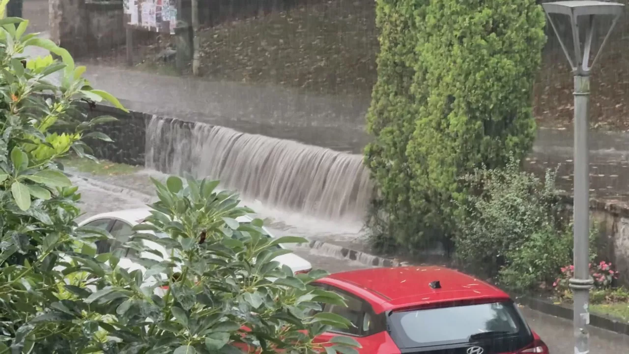
Heavy rains have left large pools of water in several villages in the South Basque Country
Yellow warning for heavy rains also this afternoon
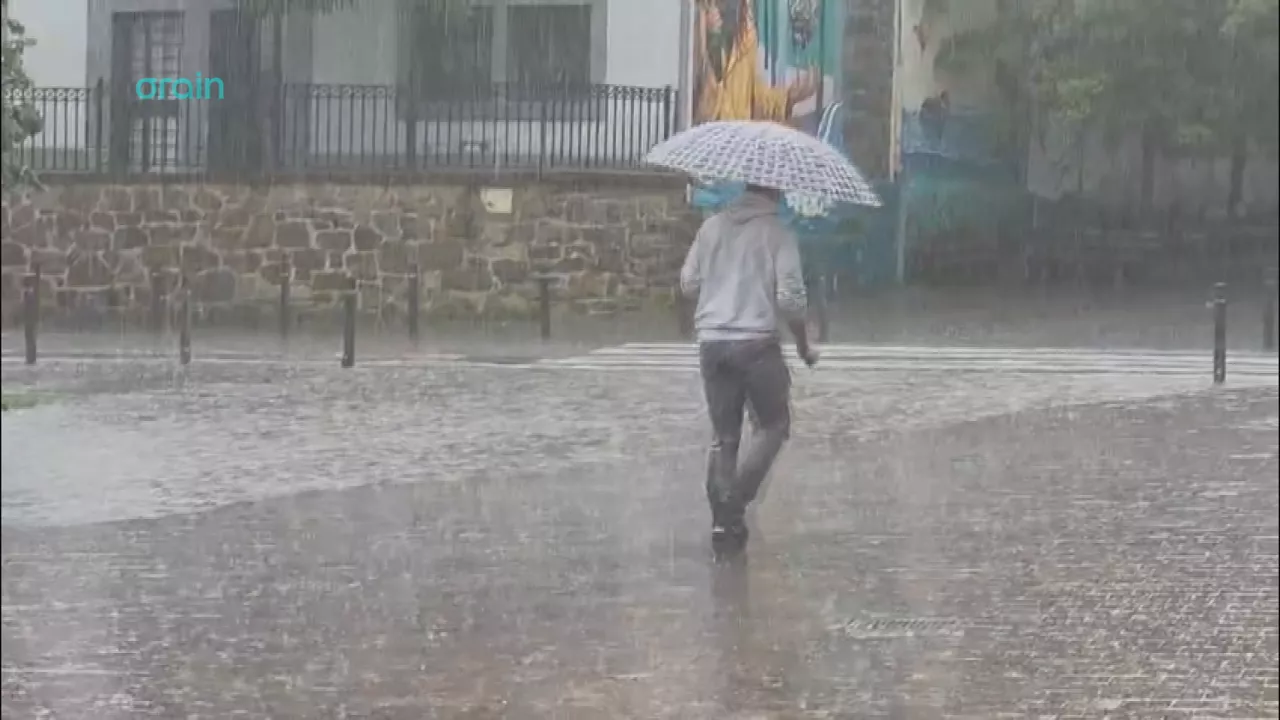
Yellow warning for heavy rains today and tomorrow afternoon

Rain and rain till the weekend

After the rains, the weather will be more stable today, but faint showers are expected in the afternoon
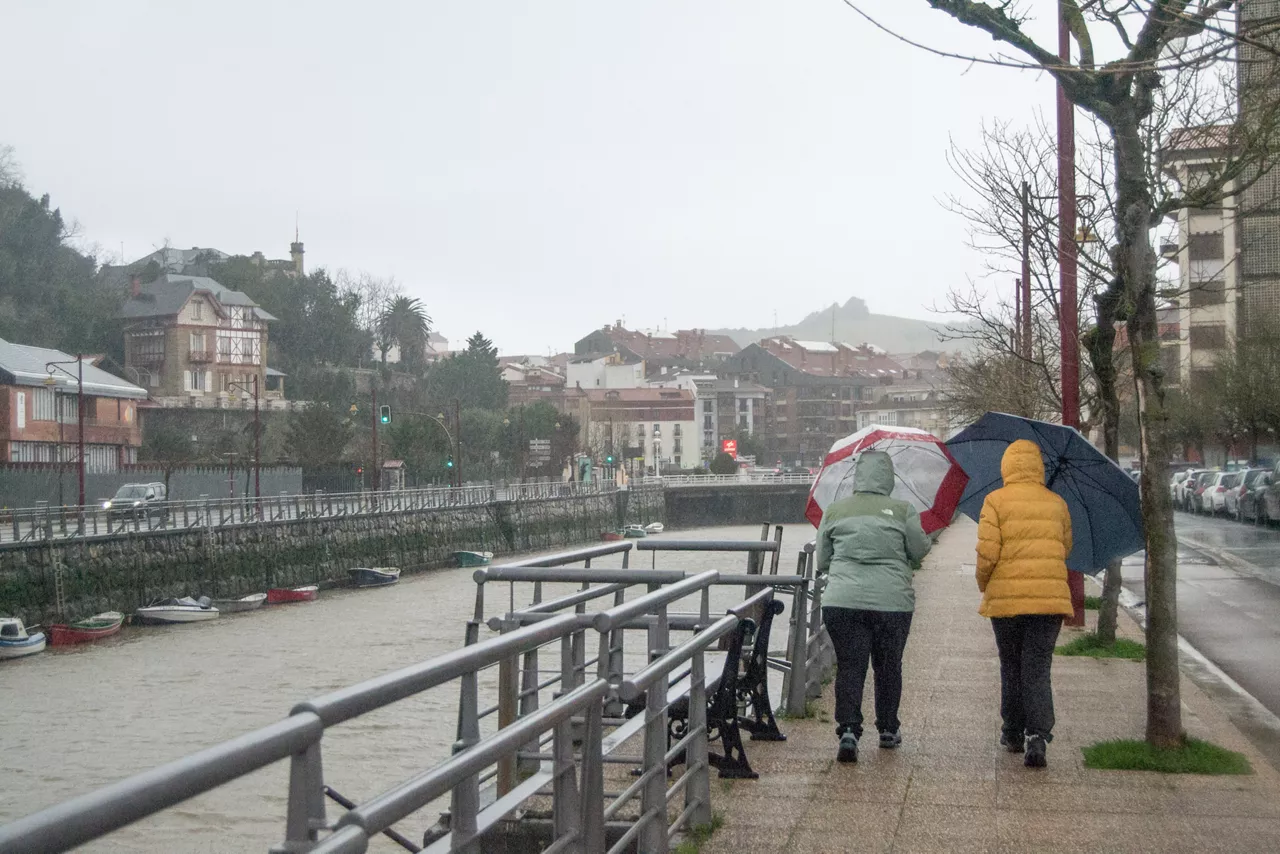
Yellow notice for Saturday afternoon in the ACV due to heavy rains