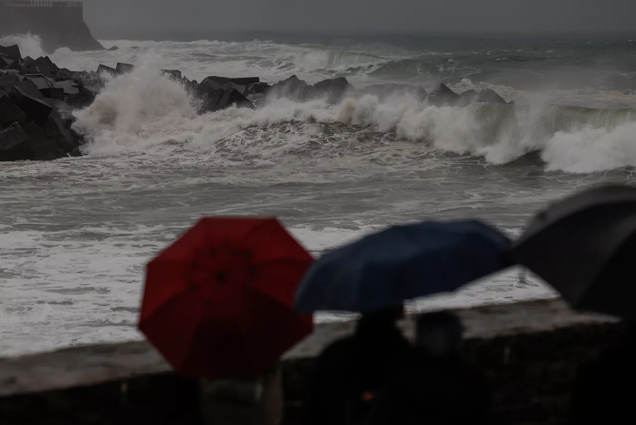
Yellow warnings for wind and strong waves in Hego Euskal Herria from Thursday
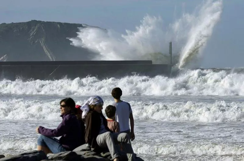
Waves of up to 3.5 metres and winds of up to 100 km/h are expected in exposed areas.


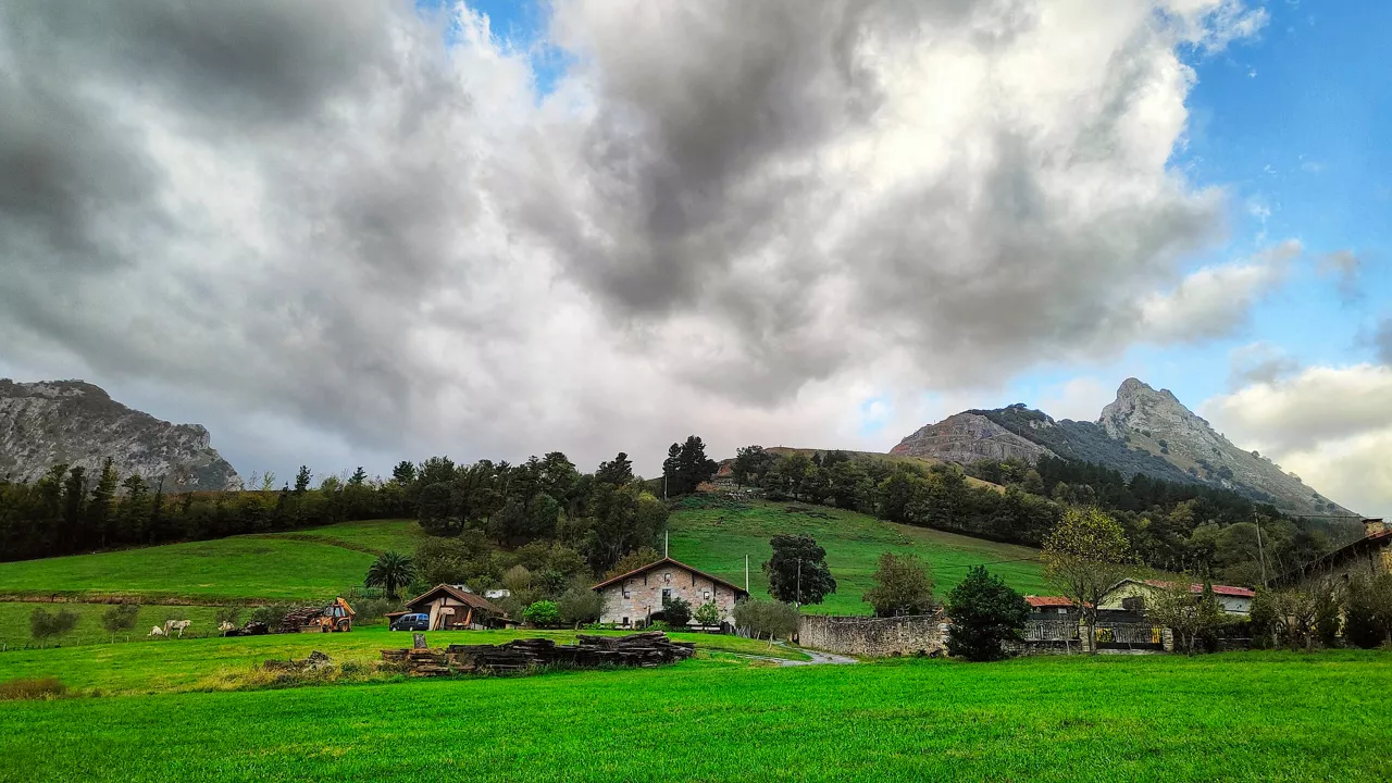
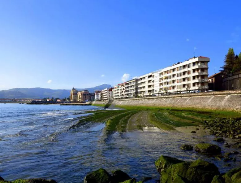
Euskalmet and Aemet meteorological agencies have activated several yellow warnings for the next few days in Bizkaia, Gipuzkoa and Navarre, which will mainly affect the Cantabrian coast, where strong waves are expected to reach 3.5 metres, impact on the coast and strong wind waves, especially in exposed areas.
Strong wind for Thursday and impact on the coast
On Thursday the southern wind will blow, which could exceed 100 km/h in exposed areas of Bizkaia and Gipuzkoa, and coastal risk is expected.
Yellow wind warning has been activated on the coast of Bizkaia and Gipuzkoa and inland from 09:00 to 21:00. Wind streams could exceed 100 km/h in exposed areas, especially in mountain areas in the west. On the other hand, streams of between 60 and 80 km/h are expected in unexposed areas.
In Navarre, the Cantabrian side will be on yellow warning from 07:00 until the end of the day by wind, with streams that could reach 70 km/h.
On the coast, waves from the northwest bottom will predominate. From 15:00 to 17:00, coinciding with the high tide of 15:42, the yellow warning will be activated for coastal impact with waves between 2 and 2.5 meters. In addition, from 18:00 to 24:00, the yellow warning will be maintained for navigation risk in the first two miles, as the wave height may exceed 3.5 meters.
Friday: permanent sea storm
On Friday the sea storm will continue, and warnings will be in effect all day.
During the first two miles the navigation will be under yellow warning throughout the day, with waves of about 3.5 meters. The wind will blow from southwest to northwest in the morning, and in the afternoon it will calm down.
Two incidents of high tide impact are expected along the coast, the first in the early morning from 03:00 to 05:00, with a tide of more than 4.15 metres and waves of 3.5 metres, the second in the afternoon from 16:00 to 17:00, coinciding with the high tide of 16:17, under similar conditions.
You might like
Cloud cover and risk of rain in the interior and wide clearing along the coast at the beginning of the week
The wind will blow from the south, and be rough during the first half of the day. As for temperatures, the highs will hardly change, but the lows will rise slightly.
Yellow warning for coastal risk will be activated on Saturday, as waves of 3.5 metres high are expected
The warning will be in effect from midnight until noon on Saturday.

Wind waves of 126 km/h were recorded this morning in Matxitxako
The yellow wind warning will be in effect in Bizkaia until noon. In exposed areas, streams of more than 100 km/h can be measured, especially in the west, while in unexposed areas they can be around 80 km/h.
Warm and clear atmosphere ends on Wednesday
On Wednesday the thermometer will drop sharply, and there will also be rain here and there.
Warm and clear atmosphere to finish the week and start what's coming
Temperatures will reach 20 degrees Celsius on the Cantabrian side, and the week will begin with the same trend.
Eguraldi egonkorra eta tenperaturen igoera abenduko zubirako
Euskalmeten arabera, atertzera egingo du eta ostarteak zabalduko dira.
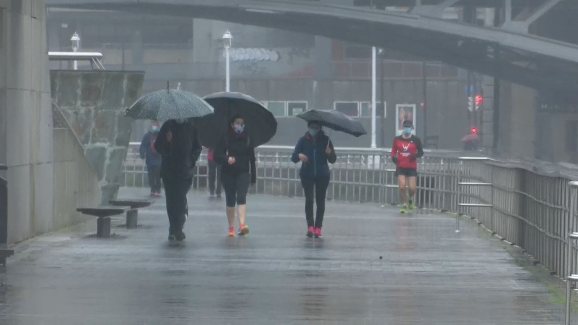
Rains still in the Basque Country today with yellow warning of coastal risk
Euskalmet will keep the yellow warning until Friday due to the impact of waves on the coast and the risk of navigation in the first two miles; it will be a very rainy day, leaving the maximum rainfall in the northern half.
Yellow coastal risk alert today and tomorrow in the Basque Country
Euskalmet has activated the yellow coastal risk alert for Wednesday and Thursday, especially during the first two miles of navigation and the impact of waves on the coast.
Rain and low temperatures will dominate the first week of December in the Basque Country
From Monday, the weather will stabilize. However, on Tuesday a new cold round will bring rain and covered skies; and temperatures will drop; and ice will be brought at the highest points.