What is the "yellow line" that marks the first phase of Israel's withdrawal from Gaza?
This week, Israel has killed more than 20 Gazatis who have crossed that imaginary (and unholy) line, when they were all trying to return home.

The withdrawal line, depending on the phases. The outer part of each area marks the boundary. Author: EITB.

At the beginningof the truce in the Gaza Strip a week ago, as stated in the signed agreement, the Israeli Army was forced to retreat to the so-called "yellow line" , an area behind which Israeli troops remain, and since then have often attacked villagers bordering the area.
This week, more than 20 Gazatis have been killed by Israel, according to the Gazatis' health authorities, with the intention of returning home. The army claims that these people crossed that imaginary and unmarked "line."
According to the agreement signed between Hamas and Israel, the ceasefire covers the entire Gaza Strip, and in the first phase, the Israeli Army has been forced to withdraw to a perimeter known as the "yellow line", which does not mean that the ceasefire is not even in place.
What's the yellow line?
The "yellow line" is theimaginary boundary that defines the area where the Israeli Army was to retreat from Gaza in the first of the three phases agreed in the ceasefire agreement between Israel and Hamas.
The perimeter between this line and the Israeli-Gaza border is under Israeli control and comprises just over 50% of the Strip.
For this reason there are nations outside this line to which the Gazatis cannot yet return, because of the danger of being attacked by the Israeli army, such as Beit Hanoun (north) or Rafah (south).
According to a map released by US President Donald Trump in announcing the agreement, the military zone between the yellow line and the Strip and the Israeli-Israeli border is 1.5 km wide on the narrowest side and 6.5 km wide (covering the southern city of Rafah).
That scale map doesn't specify any specific references on the surface.
Lack of signage
The yellow line has never been marked for the population, so many Gazatis have been guided by mouth-to-mouth information or by checking whether they have tanks in sight to try to figure out where the line might be.
"We only move in the areas where we live. If I want to know if a place is dangerous, I ask people, has anyone been there in the last few hours? It's a dangerous situation. It's the neighbors who tell us what's really going on," explains Mohamed Badaui, a neighbour of the Zeitun district of the capital.
This Friday, Israeli Defense Minister Israel Katz announced that the army is signalling that imaginary border on Palestinian territory so that the population can know.
Development of the withdrawal of Israel
In the second phase of the withdrawal of Israel from Gaza, troops will have to retreat to a new line, the so-called "red line" , reducing the perimeter under the control of the army to around 40% of the territory of Gaza.
The transition to this second phase will take place when the International Stabilisation Forces enter Gaza, one of the points agreed in the ceasefire agreement. This stabilization force will be the one to monitor security in the area and then train the Gaza Police.
However, it has not been announced when the Stabilisation Force will enter Gaza.
The third phaseof the withdrawal would be the withdrawal of the Israeli Army to the "security perimeter", occupying about 15% of the land of Gaza. It would pass along the border between the Strip and Israel, where soldiers would be stationed indefinitely. This perimeter includes the essential points of dire for Gaza, such as the Rafah crossing on the Egyptian border.
You might like
Trump says he's willing to talk to Hezbollah if Lebanon asks him
While the President of the United States is pushing for negotiations for the departure of the Israeli army from southern Lebanon, Israeli troops have opened fire on the Lebanese army as a "warning."
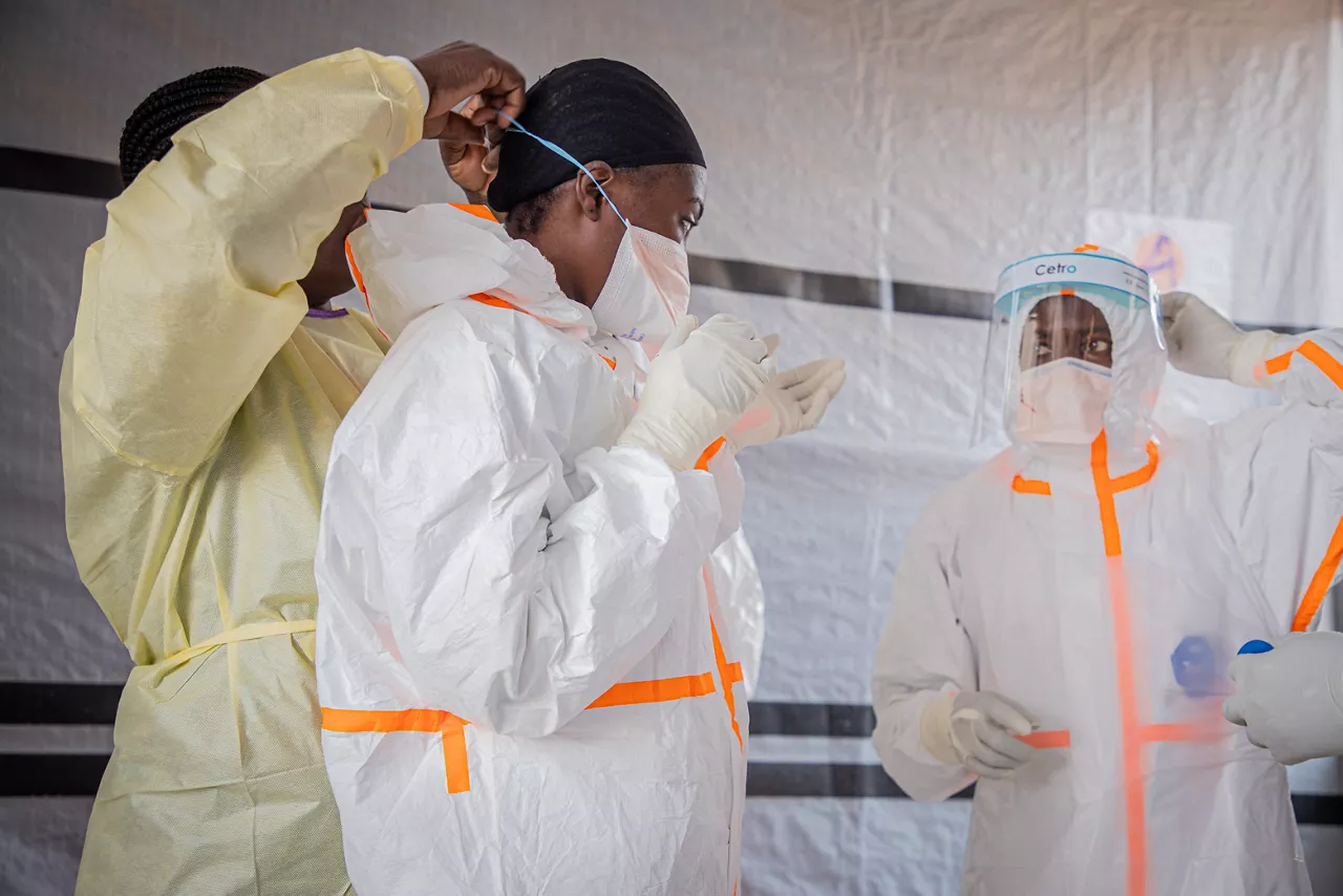
Nearly a thousand deaths in the Congo Ebola outbreak, with a death rate of 39.9%
Médecins du Monde has warned that there is a "very complex" context, marked by the conflict, the displacement of the population and the limited capacity of the health system, which faces "four epidemics at once: Ebola, cholera, measles and mpox."
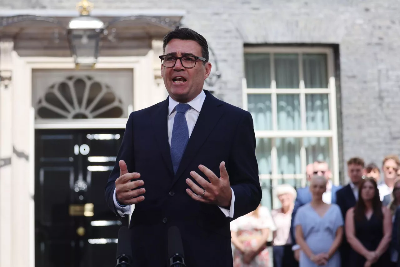
Andy Burnham's Government Announces Withdrawal of British Electricity VAT
The measure will be financed in part by the cancellation of the project to launch the digital identity programme, the cost of which was expected to be around £600 million a year.
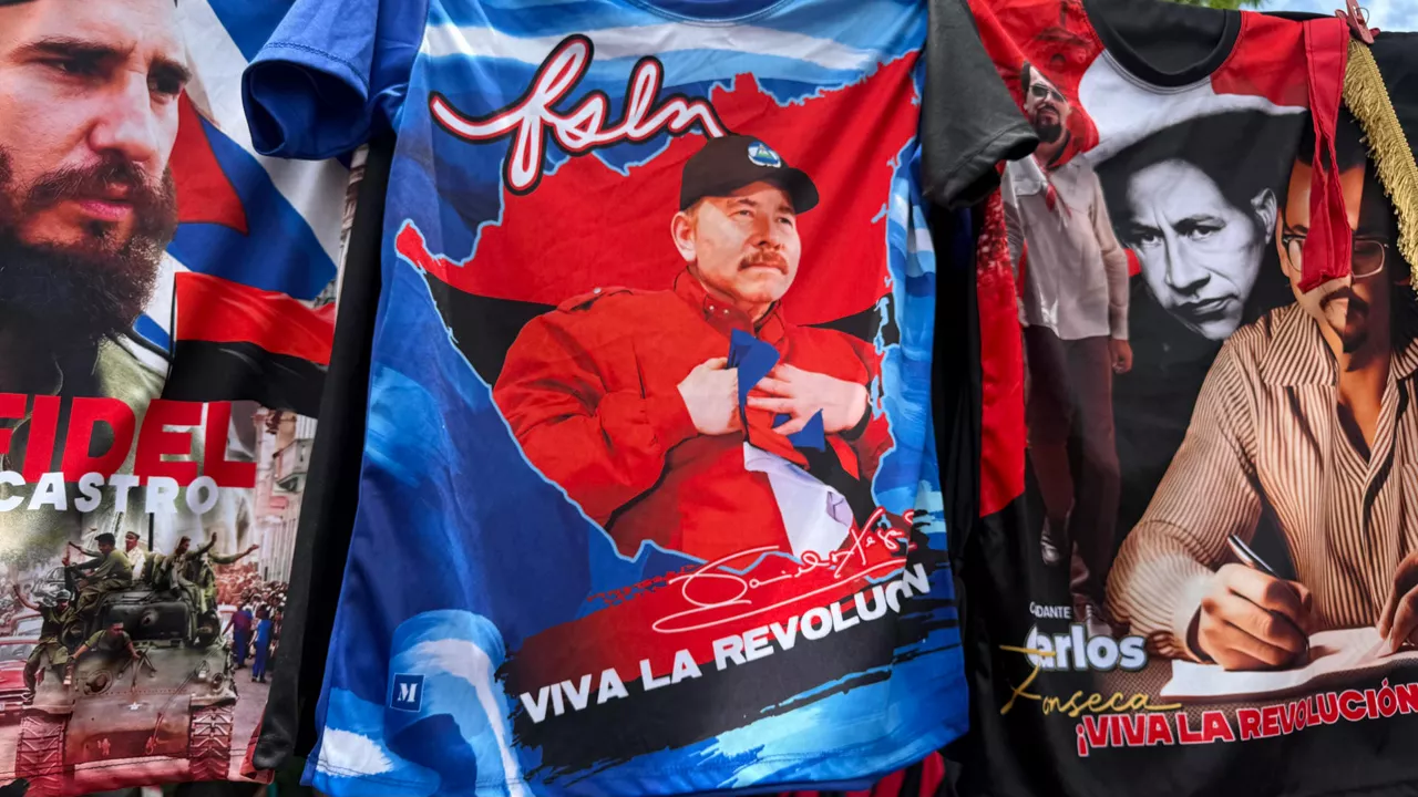
Nicaragua's president announces that there will be no elections in the country anymore
Elections should actually be held in November 2027, but the announcement made by President Daniel Ortega, who has been in charge of the country since 2007, has closed the door to elections.

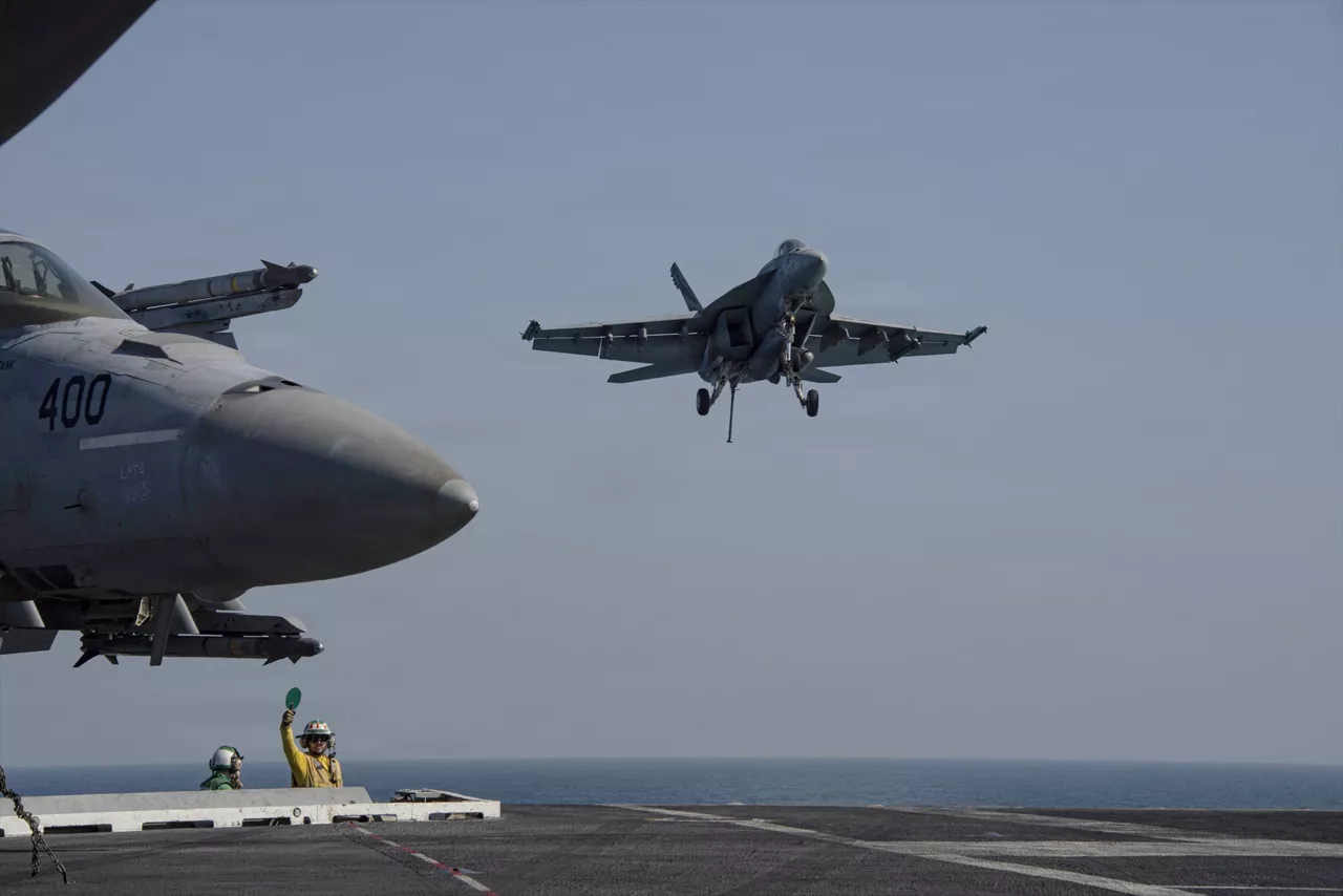
Iran's attacks in the Middle East have injured nearly 100 military personnel, according to the Pentagon
The Pentagon itself confirmed last weekend that three American soldiers have been killed in Iranian attacks on Jordan and Iraq. The U.S. Army has been attacking Iranian targets for 10 consecutive days, and Iran has responded by attacking Jordan, Kuwait, Bahrain and other allied countries.
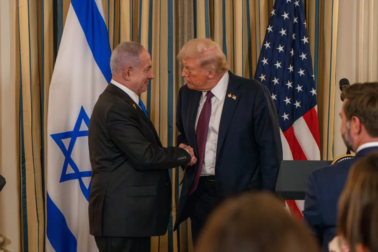
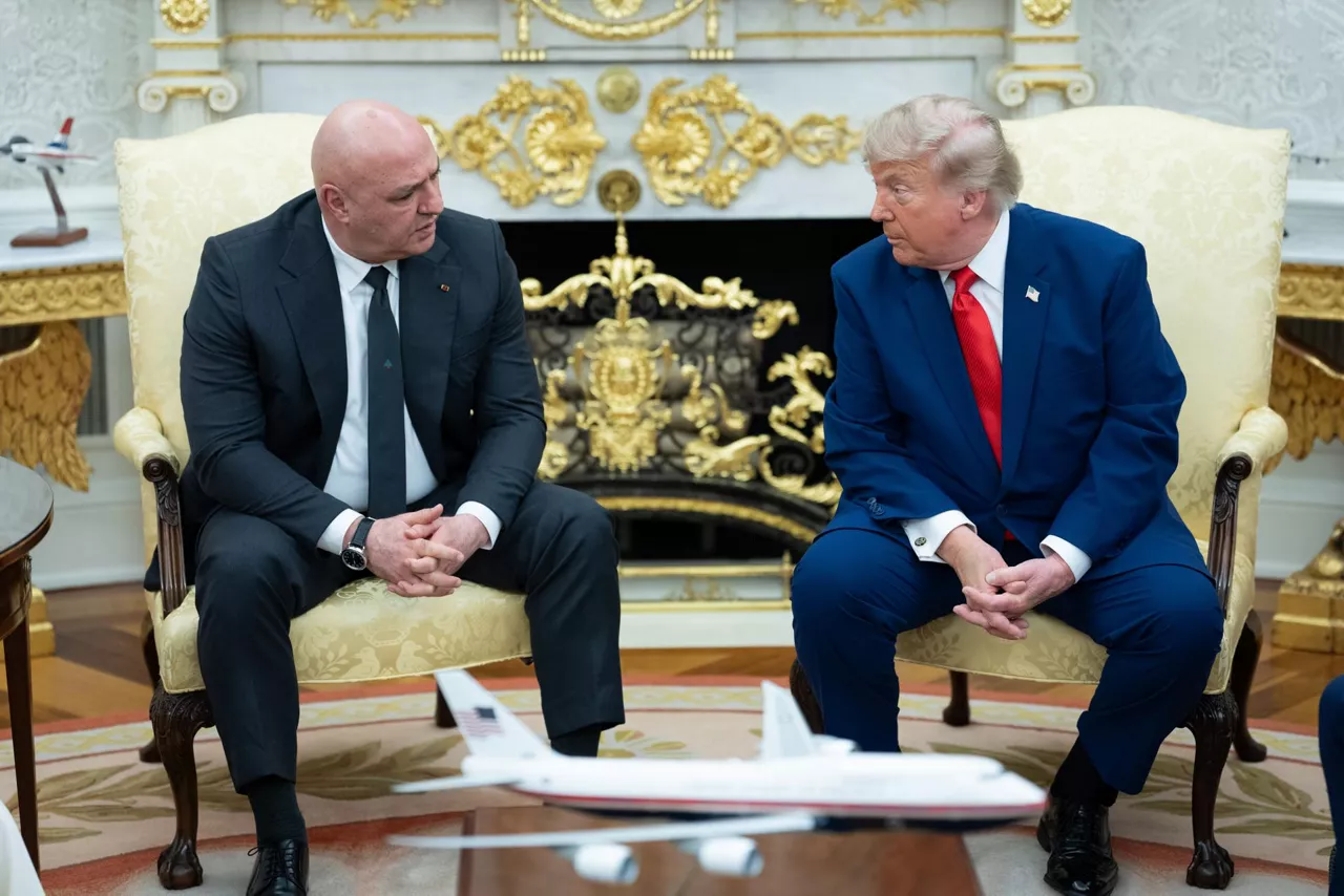
Trump says Netanyahu won't be arrested in America
Israeli Prime Minister Zohran Mamdani, the mayor of New York, has declared that Netanyahu is a "war criminal" and is considering his arrest.
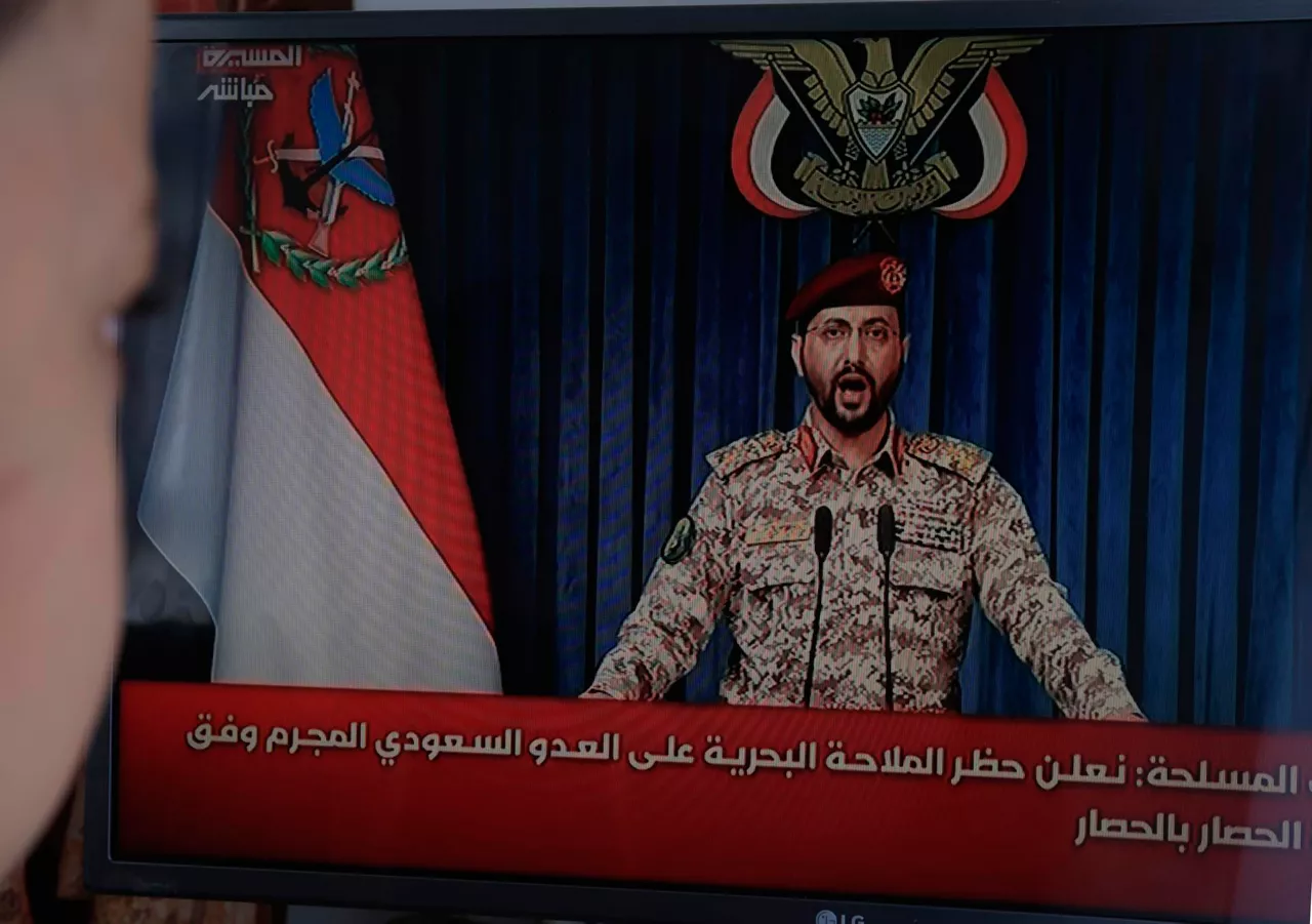
The Houthis impose a naval blockade on Saudi Arabia in response to the "siege" of Riyadh
They have described the measure as an "eye for an eye," facing the Saudi blockade of Yemen for 12 years.
Burnham takes over as prime minister in the UK, promising a "new political and economic model"
Among the priorities of the future government are the reform of the education system, the strengthening of mental health services and the construction of more subsidized housing.
The U.S. bombed Iran for the ninth night in a row
Iran, for its part, has attacked several US military bases in Kuwait and Bahrain, and Bahrain has activated its sirens against air strikes.

Trump wanted to join the celebration of Spain, but he was sidelined
U.S. President Donald Trump took the stage with FIFA President Gianni Infantino to hand over the World Cup trophy to Rodrigo, captain of the Spanish team. An spite of being given time to leave the venue, Trump tried to pose in the photo of the world champions celebrations.