Unstable weather for the weekend
On Thursday the sunny atmosphere will prevail, and for Friday the weather will tend to destabilize, especially from the second half of the day, while on Saturday the storm will increase.


The week continues with high temperatures and clear skies, but for the weekend more unstable weather is expected.
This Thursday the sunny weather will prevail. The sky will remain clear for much of the day, but it is not ruled out that at the end of the day some clouds will appear due to the accumulated heat. Temperatures will continue to rise and maximum values will exceed 30 ° C in most of the interior, except at some points on the coast where the heat will be slightly lower. In the afternoon the northeast wind will begin on the coast and head inland, which will relieve the thermal sensation.
For Friday, weather will tend to destabilize, especially from the second half of the day. In the morning the skies will be clear and the atmosphere will be warm, but in the afternoon clouds of evolution will develop and there may be stormy showers. These storms can be locally strong, accompanied by hail and strong winds. Temperatures will remain at values similar to those of the previous day and will remain above 30 ° C.
The storm atmosphere will prevail on Saturday. Rainfall can be recorded anywhere, and is more likely in the early morning and early hours of the day. Although the morning may offer a short rest, there will be some showers here and there and with less intensity, but in the afternoon there will be storms again, especially in the east where they will be more intense. Maximum temperatures will drop slightly and the heat will be more bearable.
You might like

Changing atmosphere this week

Autumn atmosphere for the weekend

Sunny coming week

Heavy rains have left large pools of water in several villages in the South Basque Country
Yellow warning for heavy rains also this afternoon
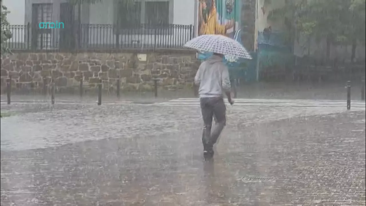
Yellow warning for heavy rains today and tomorrow afternoon

Rain and rain till the weekend

After the rains, the weather will be more stable today, but faint showers are expected in the afternoon
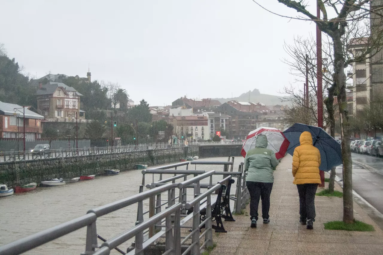
Yellow notice for Saturday afternoon in the ACV due to heavy rains