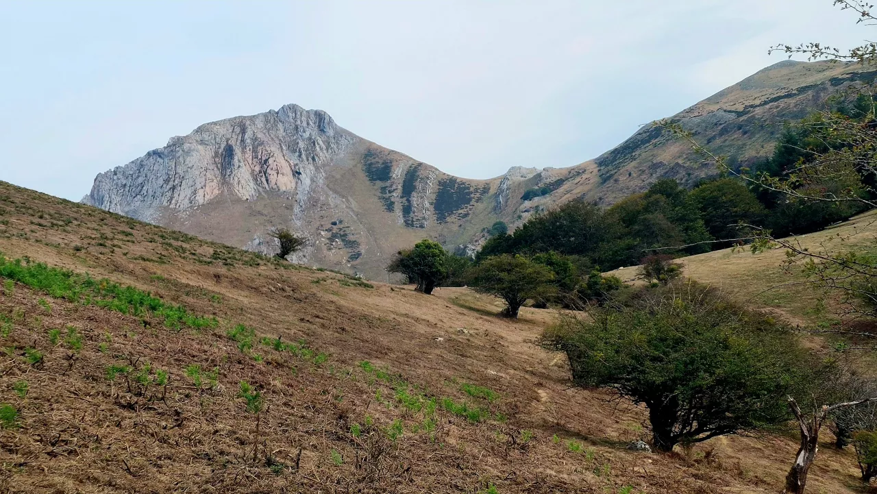
Jaitsi dira, azkenean, termometroak


Azken asteko bero-bolada bortitzaren ostean, euritik hasiko da astea Euskal Herri osoan, eta litekeena da joera hori denboran luzatzea. Prezipitazioekin batera, tenperaturek ere behera egingo dute, hamar graduko aldea ere suposatuko dutelarik Nafarroako zenbait puntutan.
Astelehenean eguraldia zeharo aldatuko da eta tenperatura maximoak asko jaitsiko dira. Leku gehienetan balio altuenak 25 ºC azpikoak izango dira, Araba hegoaldean eta Nafarroa erdi eta hegoaldean izan ezik, bertan maximoak 30 ºC ingurukoak izan daitezke eta. Hodei dezente agertuko dira, batez ere ipar partean, tarteka euri pixka bat egingo baitu bertan. Arratsalde-gauean zaparradak edo trumoi-ekaitzak izan daitezke, bereziki ekialdean, eta ipar-mendebaldeko haizea bizi ibiliko da. Ipar Euskal Herrian abisu horia egongo da indarrean biharko egunean zehar, tenperatura altuak eta ekaitz arriskua direla eta.
Asteartean giroa freskoa izango da eta ipar partean zaparrada batzuk botako ditu. Egun osoan hodeiak izango dira nagusi, batez ere Kantauri isurialdean goibelago egongo da. Ipar partean noizean behin zaparrada batzuk izango dira eta zenbait lekutan trumoitsuak izan daitezke. Tenperaturan ez da gorabehera handirik izango, baina Araba eta Nafarroa hegoaldean zertxobait baxuagoak izango dira. Ipar eta ipar-mendebaldeko haizeak bizi jarraituko du asteko bigarren egunean ere.
Euskalmeten uneko aurreikuspenen arabera, parekoak izango dira hurrengo egunak ere, ostiralean zerua zertxobait garbitzea eta tenperaturak arinki igotzea espero bada ere.
You might like
Changing atmosphere this week

Autumn atmosphere for the weekend
Sunny coming week
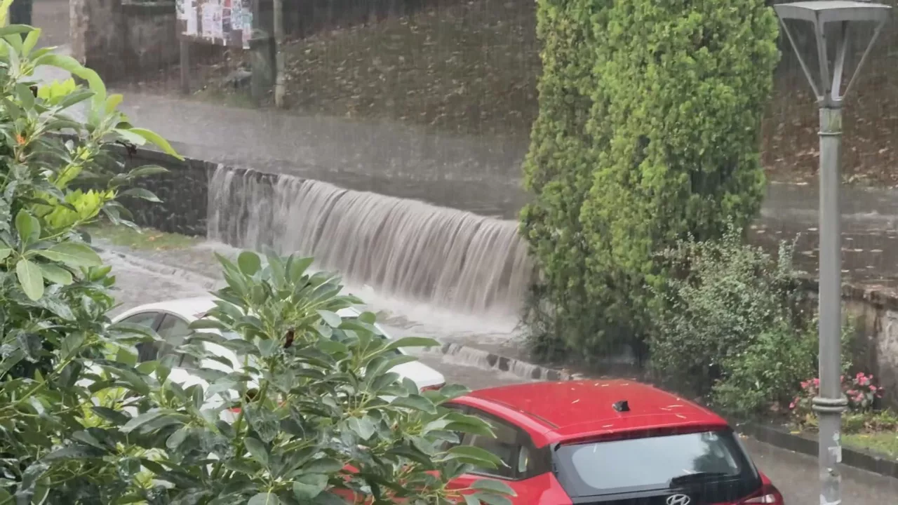
Heavy rains have left large pools of water in several villages in the South Basque Country
Yellow warning for heavy rains also this afternoon
Yellow warning for heavy rains today and tomorrow afternoon

Rain and rain till the weekend

After the rains, the weather will be more stable today, but faint showers are expected in the afternoon
Yellow notice for Saturday afternoon in the ACV due to heavy rains