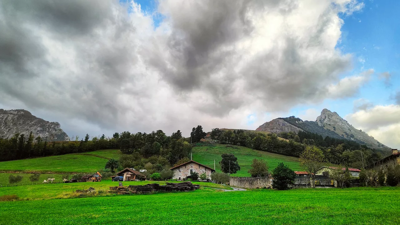
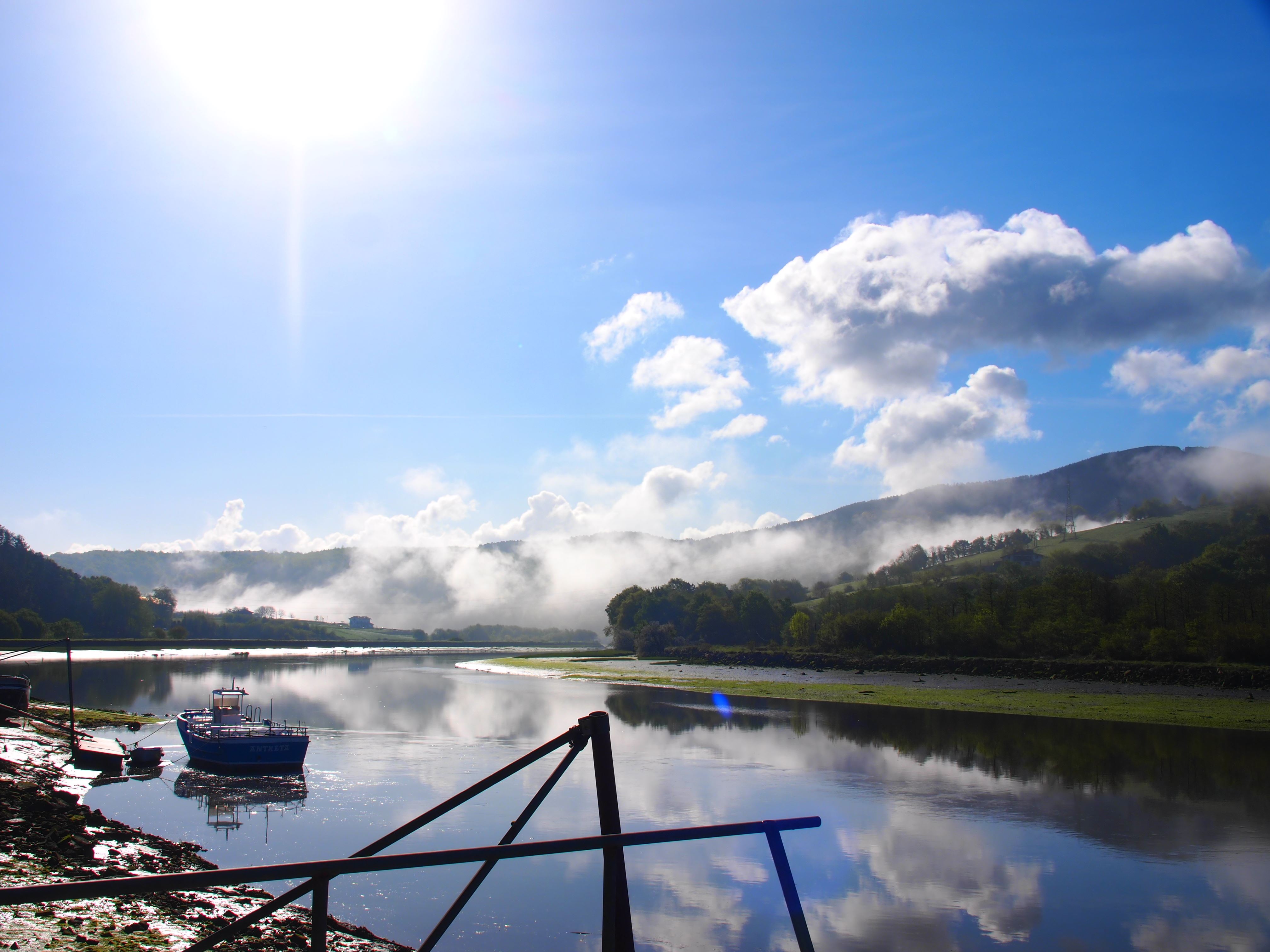
The weekend will begin with the sun and on Sunday there may be weak rain on the cantabrian side


The stable weather of the last few days will bring about a change of trend in the Basque Country from Sunday.
According to Euskalmet's prediction, Friday and Saturday will be sunny in most of the territory, and pleasant temperatures will exceed 25 degrees in some parts of the interior and south.
On Saturday the southern wind will gain strength, and in the afternoon the breeze will enter the coast. The thermometers will rise, especially in the north, and the highs will rise to 27 degrees in Bilbao and Baiona, 26 degrees in San Sebastian and 24 degrees in Vitoria.
On Sunday, however, a change is expected. In the morning there will befog and fog and there will be a tendency to cover the skies throughout the day. In the eveningthere may be weak rain on the cantabrian side, especially on the coast. The northern wind will gain strength from the afternoon with strong streaks, and some will be very strong in exposed areas.
On Monday , cloudy intervals will continue, and faint rainfallis not ruled out, the wind will be loose and northern component, and temperatures will remain unchanged.
Weather forecast for the next few days


More weather news
Ezegonkortasuna eta tenperatura freskoak izango dira nagusi urriko azken asteburuan
Astean zehar izandako tenperatura altuen ondoren, asteburuan fresko izango dugu eta zenbait tokitan termometroak ez ditu 15 ºC-ak gaindituko.
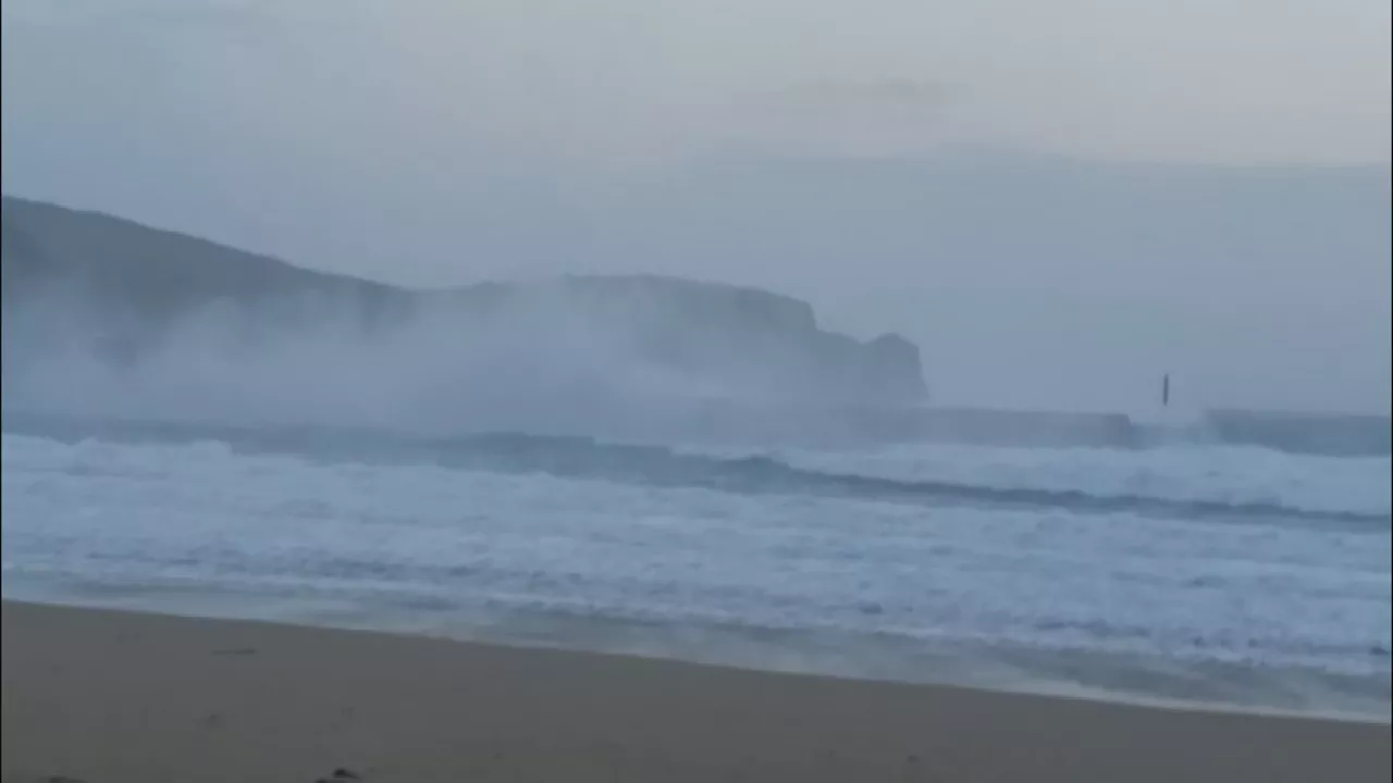
The Benjamin blur has caused waves more than five meters high on the Basque coast
As measured by the weather stations of Euskalmet, strong winds are being recorded at 146 km/h (Matxitxako), 120 km/h (Santa Clara, Donostia) and 117 km/h (Punta Galea), among others.

News: Benjamin blurring, warning in the livestock sector and the 45th anniversary of the Ortuella tragedy
A summary, in two words, of what will be news in the Present today.
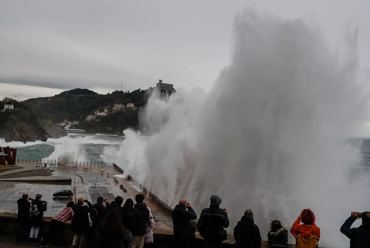
A blur will cause winds of more than 100 km/h and waves of more than 5 meters
On Thursday, the Basque Government's Department of Safety will activate the yellow wind warning and the orange wave alert. On the other hand, the Aemet will activate the yellow wind warning in northern Navarre and the Ribera. In addition, the Meteofrance has announced an orange wind and wave alert in the Atlantic Pyrenees that includes Iparralde.
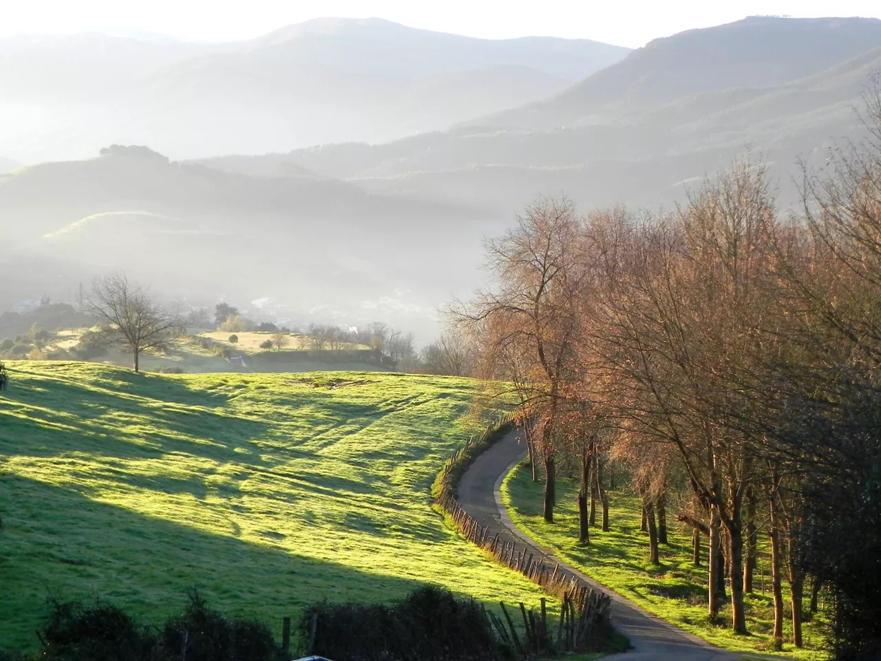
Autumn atmosphere and showers to start the week, breaking the trend of the last few weeks
On Monday the sky will be cloudy and there will be some showers, especially along the coast, and Tuesday will be similar, but on Wednesday the clouds will become cloudy, the sun will rise and temperatures will rise.

Comet Lemmon, 1,350 years later, again visible
The comet Lemmon can be seen again from Earth after 1,350 years of orbit. The last time it was seen from Earth was in the 7th century. Next Tuesday will be the closest day to Earth, 89 million kilometers.
Sunny weather in general and risk of storms and showers in the south
Next week there will be sunny weather, with warm temperatures, and for the next weekend temperatures are expected to rise and the sky will clear even further, while in the Navarre Pyrenees the Aemet has issued a yellow warning for heavy rains and storms.
20 gradutik gorako tenperaturak eta giro eguzkitsua asteburu osoan
Hegoaldeko haizea ibiliko da, eta tenperatura maximoak 25 gradu ingurukoak izango dira. Badirudi datorren astean ere ildo horri helduko diola eguraldiak.
The sunny age dominates, in the next hours and days
Monday and Tuesday the highs will be above 20 degrees, although in the early morning the atmosphere will cool down considerably.