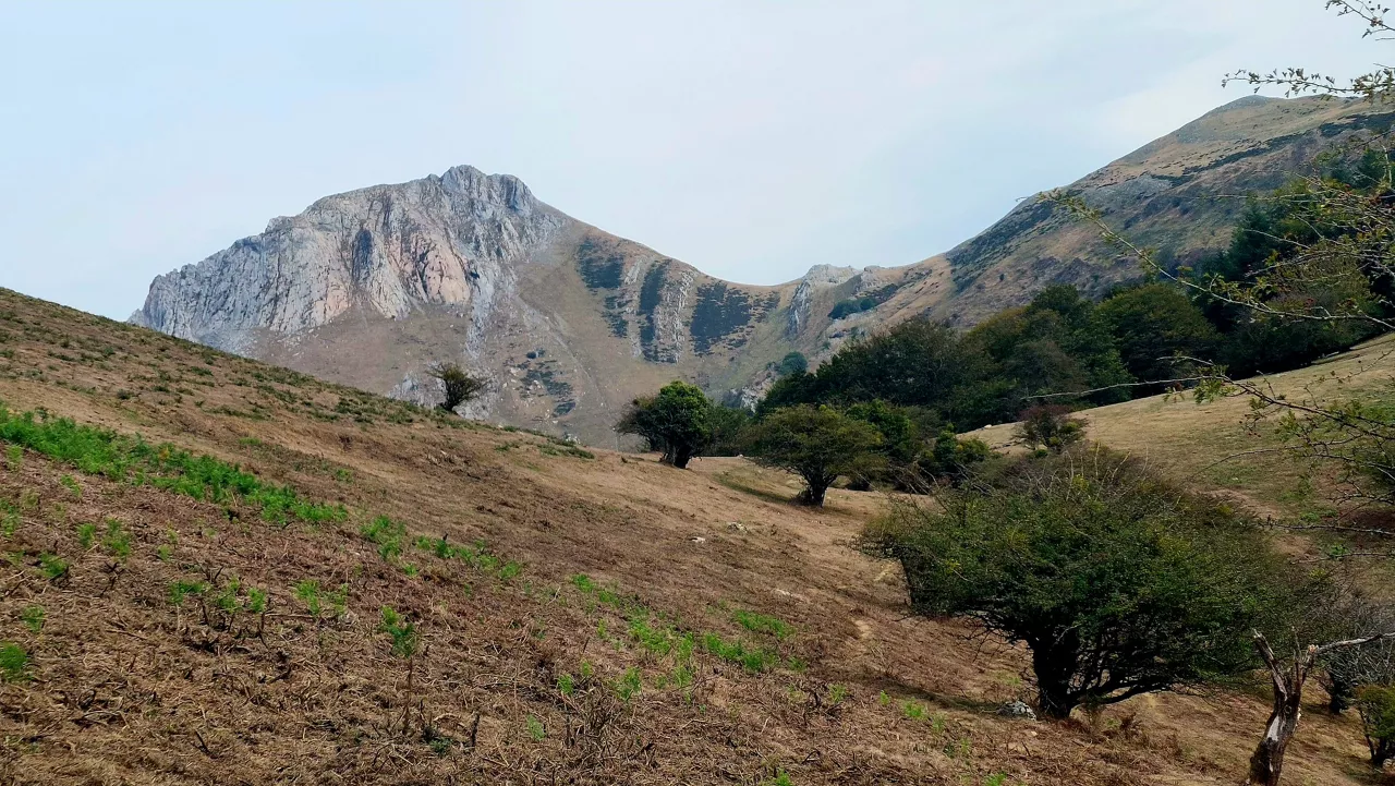
Autumn atmosphere and showers to start the week, breaking the trend of the last few weeks
On Monday the sky will be cloudy and there will be some showers, especially along the coast, and Tuesday will be similar, but on Wednesday the clouds will become cloudy, the sun will rise and temperatures will rise.

From Errenteria, above Capuchino, Pasai San Juan and Pasai San Pedro.

The Iberian peninsula will be affected on Monday by Atlantic traffic and will mainly affect Galicia, where a yellow alert has been issued for rain and waves.
In the ACV and Navarre it will also rain but not so much.
MONDAY
On Monday, a changing autumn atmosphere is expected, with maximum temperatures falling a little further and around 20 ° C at all times.
The wind will blow from the west, predominantly from the southwest, but occasionally from the northwest, especially in the afternoon and on the Cantabrian side.
The skies will be cloudy in general, but occasionally clear, especially from the afternoon onwards, with the possibility of some occasional rain, and in the early morning and early morning, especially on the Cantabrian side, more intense showers.
TUESDAY
On Tuesday, there will be generally weak showers in the north, but occasionally the intensity of showers will be higher along the coast, and very little rain will arrive in the south.
The wind will blow from the west, but at the beginning of the day the wind will blow from the southwest.
WEDNESDAY
Wednesday will be a day without precipitation, the sun will rise and temperatures will rise.
It's expected to get worse the next day, Thursday.
Weather Information total Now on thewebsite Send us your photos and videos.
You might like

Changing atmosphere this week

Autumn atmosphere for the weekend

Sunny coming week

Heavy rains have left large pools of water in several villages in the South Basque Country
Yellow warning for heavy rains also this afternoon

Yellow warning for heavy rains today and tomorrow afternoon

Rain and rain till the weekend

After the rains, the weather will be more stable today, but faint showers are expected in the afternoon
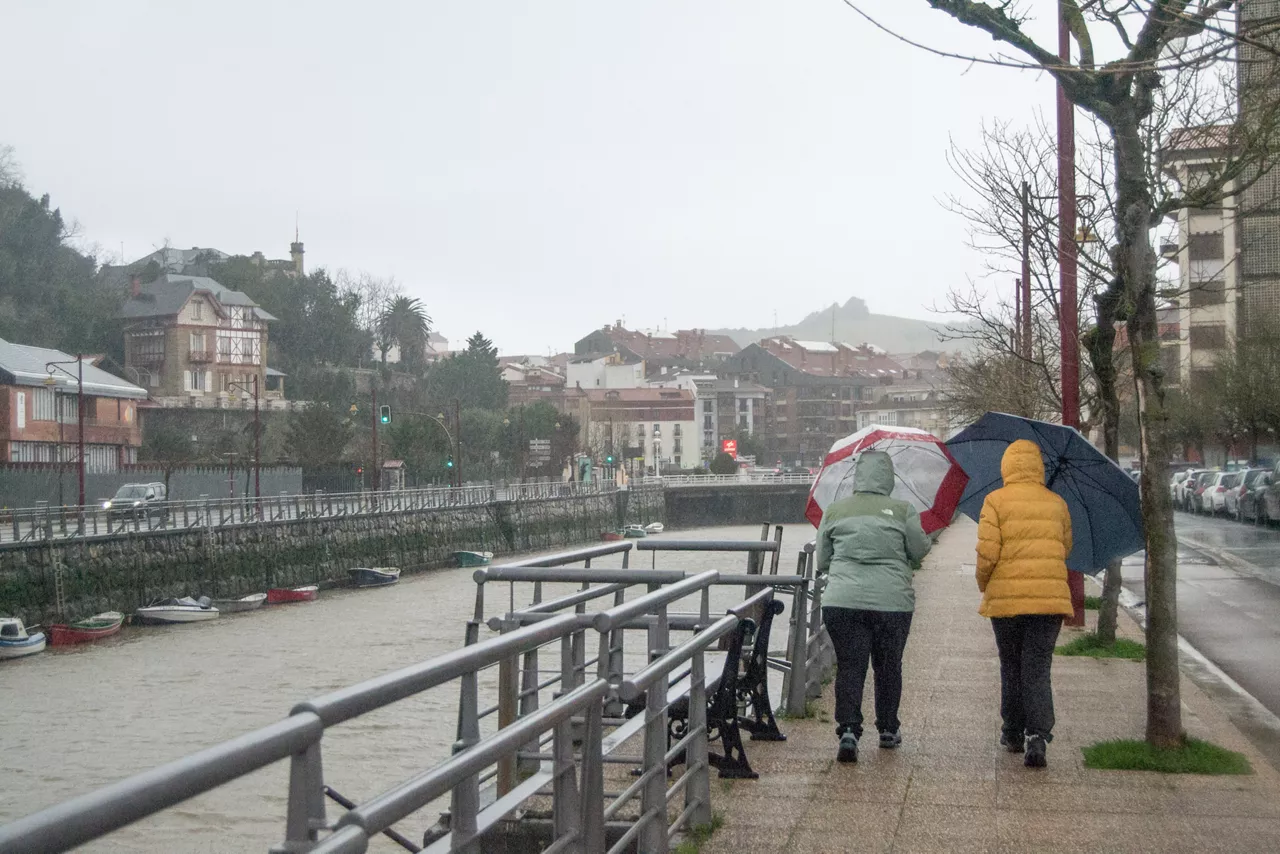
Yellow notice for Saturday afternoon in the ACV due to heavy rains