Rains still in the Basque Country today with yellow warning of coastal risk
Euskalmet will keep the yellow warning until Friday due to the impact of waves on the coast and the risk of navigation in the first two miles; it will be a very rainy day, leaving the maximum rainfall in the northern half.


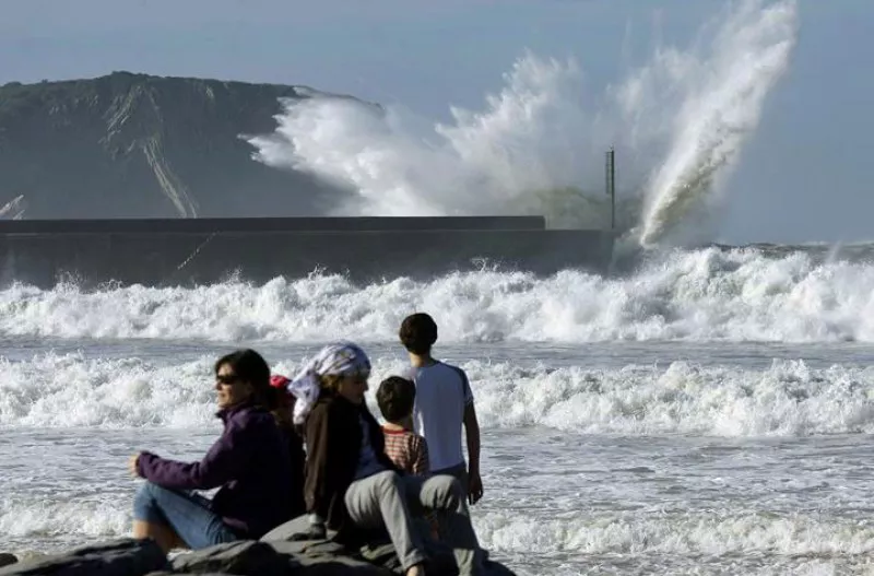
Euskalmet will keep theyellow warningactive\ u00A0until Friday because of the coastal risk, both due to the impact of the waves on the coast and the complications of sailing in the first two miles. The Basque Agency for Meteorology warns of the adverse conditions that the waves will leave on the coast.
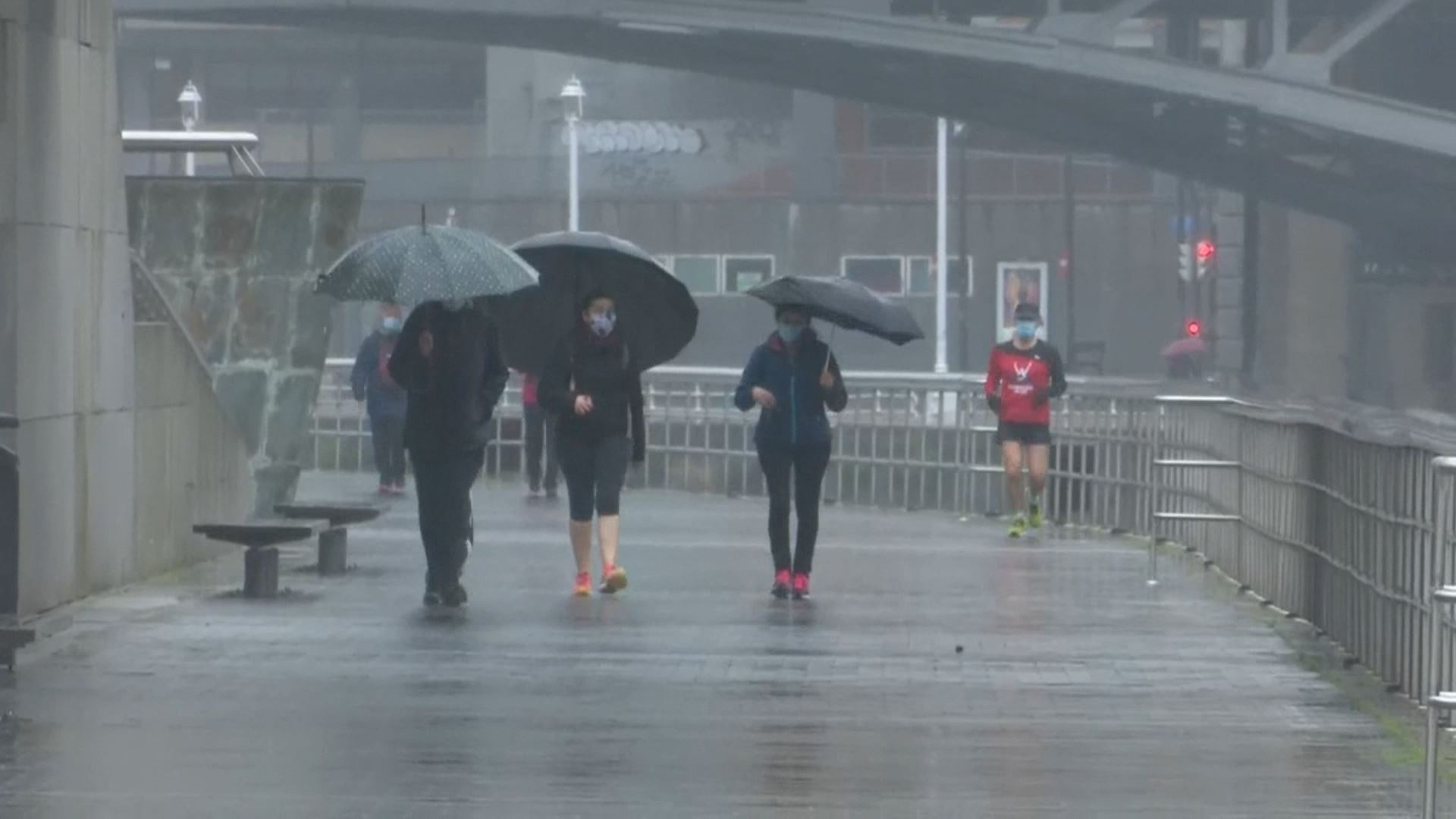
Today willrain heavily in much of the territory, especially in the northern part, where they will be more prosperous and durable. A new front will cross the Basque Country again, and from the afternoon there may bestorms in the area . The snow level will be around 1300-1400 meters.
The yellow warning will remain in effect on Friday and there will also be intense rainfall, with widespread rainfall in the early hours, with showers in the north and east half. As the hours go on, the situation will improve from west to east and, in the afternoon, it will be clear. The wind from the southwest will gradually subside and the maximum temperatures will rise more sharply in the north.
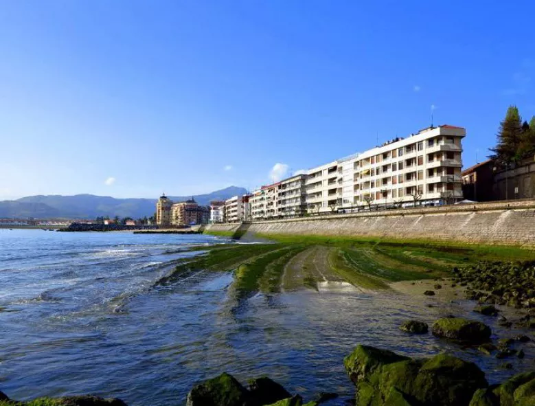
In Donostia-San Sebastián, while the notice is in effect, the City Council has closed the Paseo Nuevo, the Peine del Viento and access to the Zurriola spigot. The decision affects vehicles and pedestrians, and the transport service to Santa Clara Island has also been suspended.
You might like

Cloud cover and risk of rain in the interior and wide clearing along the coast at the beginning of the week
The wind will blow from the south, and be rough during the first half of the day. As for temperatures, the highs will hardly change, but the lows will rise slightly.
Yellow warning for coastal risk will be activated on Saturday, as waves of 3.5 metres high are expected
The warning will be in effect from midnight until noon on Saturday.

Wind waves of 126 km/h were recorded this morning in Matxitxako
The yellow wind warning will be in effect in Bizkaia until noon. In exposed areas, streams of more than 100 km/h can be measured, especially in the west, while in unexposed areas they can be around 80 km/h.
Warm and clear atmosphere ends on Wednesday
On Wednesday the thermometer will drop sharply, and there will also be rain here and there.
Warm and clear atmosphere to finish the week and start what's coming
Temperatures will reach 20 degrees Celsius on the Cantabrian side, and the week will begin with the same trend.

Eguraldi egonkorra eta tenperaturen igoera abenduko zubirako
Euskalmeten arabera, atertzera egingo du eta ostarteak zabalduko dira.
Yellow coastal risk alert today and tomorrow in the Basque Country
Euskalmet has activated the yellow coastal risk alert for Wednesday and Thursday, especially during the first two miles of navigation and the impact of waves on the coast.
Rain and low temperatures will dominate the first week of December in the Basque Country
From Monday, the weather will stabilize. However, on Tuesday a new cold round will bring rain and covered skies; and temperatures will drop; and ice will be brought at the highest points.

Sun, increasing cloud cover and fog in the Basque Country
According to Euskalmet, this Friday the temperature will rise slightly and the sky will be somewhat stirred.