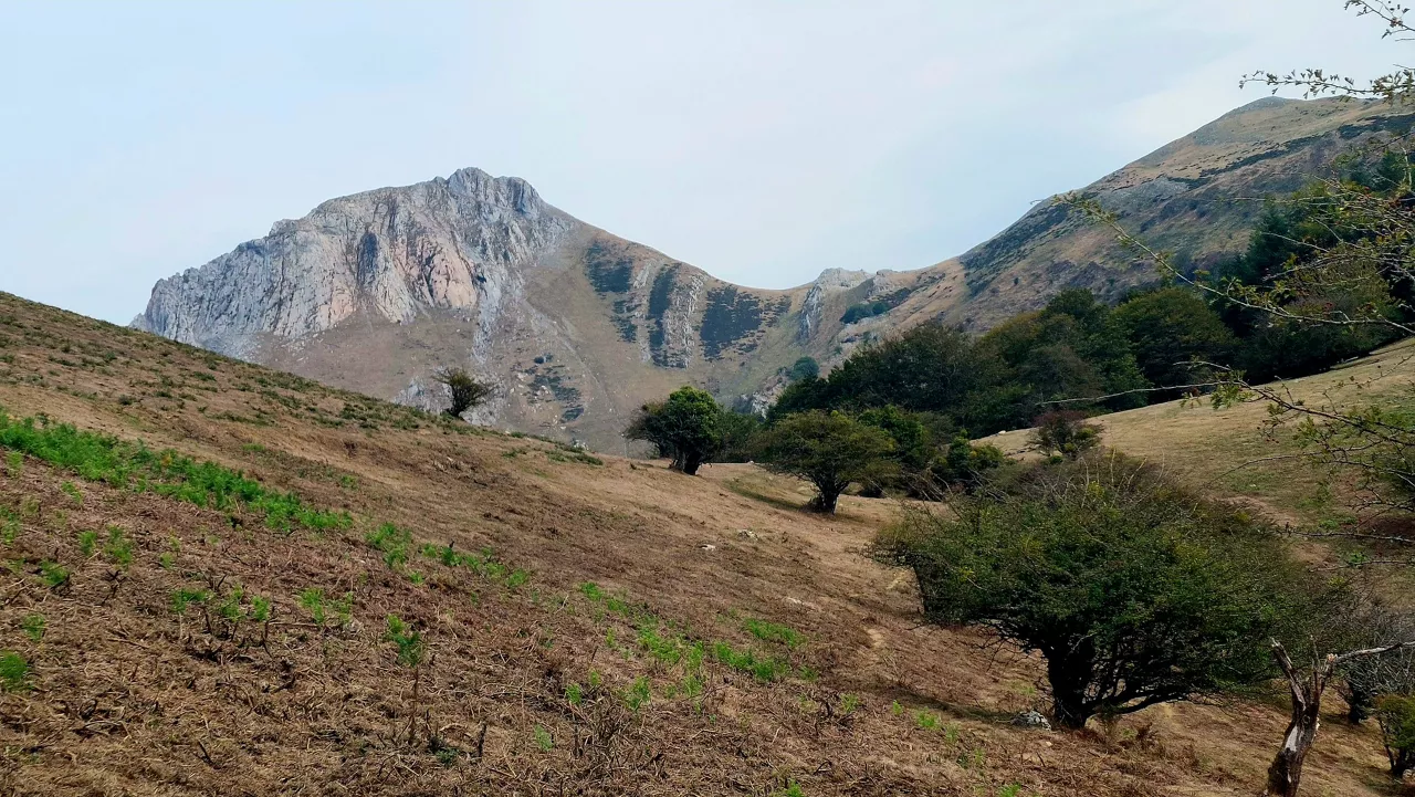
Yellow coastal risk alert today and tomorrow in the Basque Country
Euskalmet has activated the yellow coastal risk alert for Wednesday and Thursday, especially during the first two miles of navigation and the impact of waves on the coast.


The Basque Agency for Meteorology has activated several warnings for today, Wednesday, due to the state of the sea and the conditions that may hinder navigation near the coast and safety on the promenade. The forecast is that the risk will continue tomorrow and the same warnings will be repeated, as well as the yellow level.
Euskalmet has pointed out that waves are expected to affect the coast today, so it recommends sailing with caution. The tide will be at 15:07 and the tide will be expected at 08:47. This could affect the intensity of the waves at different times of the day.
Tomorrow, Thursday, the situation will be similar: the yellow warning for both coastal impact and navigation will continue for the first two miles.
This Wednesday the weather will be convulsive in the northern half, with occasional showers on the coast and in the eastern sector, and no occasional storms are ruled out. In the south, however, the day will be quieter, with little precipitation and some light, although there may be isolated showers in the afternoon. The snow level will be around 1400 meters, slightly below the Pyrenees, and the wind will blow from the west and southwest.
Tomorrow, Thursday, the yellow coastal risk alert will continue. Rainy day is expected in most of the territory. Rainfall will be more abundant in the north and in the afternoon there could be storms in the area. The snow level will be around 1300-1400 meters. The west/southwest wind will blow strong, with strong or very strong streaks, and temperatures will not change much or fall slightly.
You might like
Changing atmosphere this week

Autumn atmosphere for the weekend

Sunny coming week

Heavy rains have left large pools of water in several villages in the South Basque Country
Yellow warning for heavy rains also this afternoon
Yellow warning for heavy rains today and tomorrow afternoon

Rain and rain till the weekend

After the rains, the weather will be more stable today, but faint showers are expected in the afternoon
Yellow notice for Saturday afternoon in the ACV due to heavy rains