No sunshine, no heat, at least until Friday


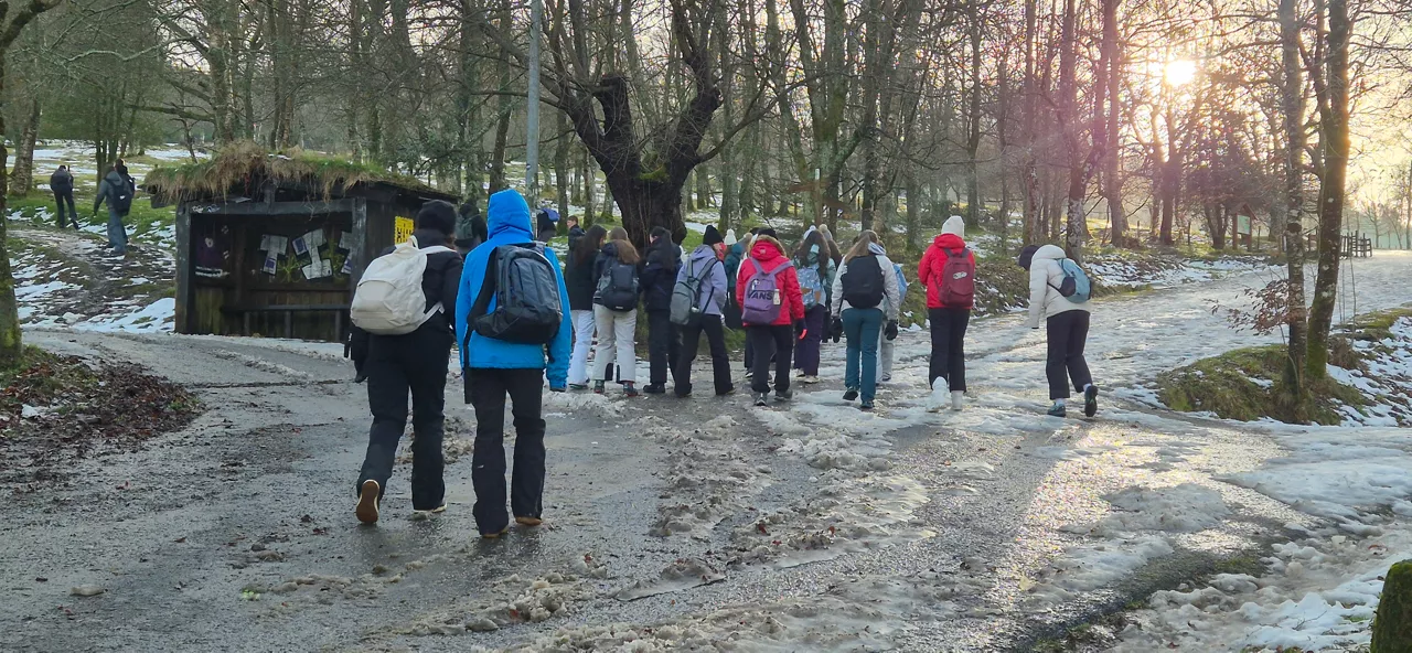
The week comes gloomy, at least at the beginning. Monday will start bleak, with very cloudy temperatures and relatively cold temperatures. Inthe morning, there will also be frost frost in the interior and weak rains .
As far as the snow level is concerned, it will be 900 metres in the morning and 1,500 metres in the afternoon. In general, the thermal sensation will be cold . The coldest temperatures will be around 6-7 degrees in Bilbao and San Sebastian, barely rising from 2-3 degrees in Vitoria-Gasteiz and Pamplona, while the highs will be around 11-12 degrees .
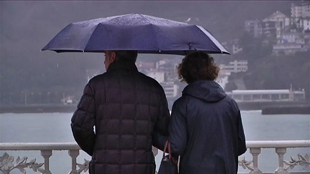
Tuesday is not expected to change. The forecast indicates that the day will be variable and curved. The northern wind will rule and there will be significant humidity near the sea. It will rain less in the west and south, but it will be noticeable when it is cold. The warmest temperatures will be in Tudela because they will reach 15 degrees. The rest will measure a maximum of 14 degrees in Bilbao, 13 in San Sebastian and 11 in Vitoria.
On Wednesday the day will begin along the same lines. The northern wind will remain steady on our side, and itwill rain especially on the north side. It is possible that we will see some light in the south. In any case, the fresh season will prevail again. Thermometers will not exceed 14 degrees.
The first day of the holiday, Thursday, will not give a breath. The sky will be grey, and there will be showers on the north side.
The wind will change direction on Friday, and the atmosphere will drop as the day progresses. The temperatures will remain unchanged, but the rain will cease from noon, and it is likely that in the afternoon it will be clear.
In general, the weather prediction is quite changing, and as the weekend is still far away, it is difficult to guess it. But it seems that the southern wind will lift them up on Saturday and Sunday, with the rain spilling, and some sunshine spreading.
You might like

Spring atmosphere and sun will dominate Easter weekend
Euskalmet and AEMET forecasts a change of trend in the ACV and Navarre. Easter weekend will be sunny and temperatures will be higher.

It will be news. The sun is coming
A summary of the news of the present in a minute.

We'll start Easter with a winter atmosphere, and it'll start to warm from Friday
From Friday, the weather will stabilize and temperatures will rise.
Yellow warning for snow level drop below 1,000 meters
From midnight to 18:00 on Sunday, the snow level will drop to 700-800 meters in the ACV, and in the Navarre Pyrenees the warning will start at 21:00.
Cold, rain and snowfall for the weekend
The snow level will go down and the intensity of the rains will also change.

A front will bring a change of weather: rain and falling temperatures until Friday
Starting at noon, a front will enter and rain, and maximum temperatures will drop to around 11-14 degrees.

Farewell to the spring atmosphere
Tuesday will be the sunniest day of the week. The rest of the days are sad and dark, though a little truce is expected by Friday.
THE SUN AND THE SPRING ATMOSPHERE AT THE END OF WINTER
This Tuesday and the next few days the temperature will rise moderately, accompanied by the southern wind. Sunny atmosphere is expected, little cloud and temperatures around 25ºC on the cantabrian side. Asteburura aldaketa, eta could rain a little.
Days of full spring atmosphere
We'll have light and temperatures above 20 degrees in the week that starts spring, but the morning of Mondays will be pretty rough.