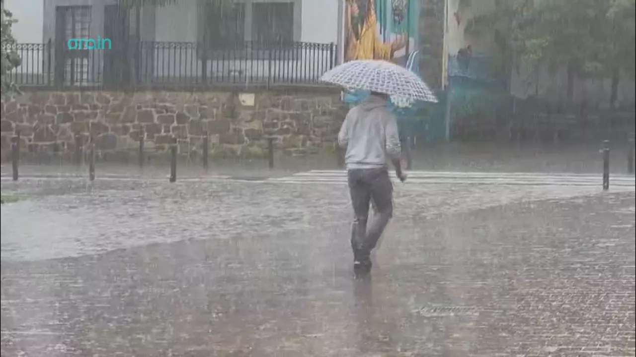
Orange navigational risk alert activated for Friday
From noon onwards, the wave height could even exceed 5 meters, and the northwest bottom sea will raise waves of 4-5 meters. Ostirale will generally have more turbulent weather in the Basque Country, especially along the coast.


The Basque Government will activate this Friday, 23 October, from 12:00 to 21:00, the orange alert for coastal risk due to the worsening state of the sea, as well as several yellow warnings that will be in effect, coinciding with the afternoon pleamar.
According to Euskalmet, this Friday the wind will blow from the west/southwest with strong streaks in exposed areas, especially along the coast.
During the morning the wind will change direction to the northwest, and then there will be strong streaks. In the evening, however, it will gradually lose strength. This situation will significantly worsen the state of the sea.
In the early morning, the height of the waves will increase to more than 3.5 meters and will be about 5 meters around noon. From noon, the wave height can also exceed 5 meters , and the northwest bottom sea will raise waves of 4-5 meters, with periods of 14-15 seconds.
Turbulent weather for Friday
On Friday, in general, we will have more turbulent weather in the Basque Country, especially on the coast. In the early morning the wind will blow from the south and the first hourswill be very warm , but in the early hours a front will arrive and the wind will turn west with strong streaks along the coast.
In the early morning hours there may be some rain, but in the rest ofthe day the cloud will alternate with clear and dry weather inside. On the coast, however, the cloud cover will be more abundant and occasionally therewill be some showers, especially from the middle of the afternoon and in the northeast. Maximum temperatures will drop slightly and the minimum will be measured at the end of the day.
You might like

We have a quiet weekend with sunny weather and autumn temperatures

With a clear and warm atmosphere we bid farewell to the frugal
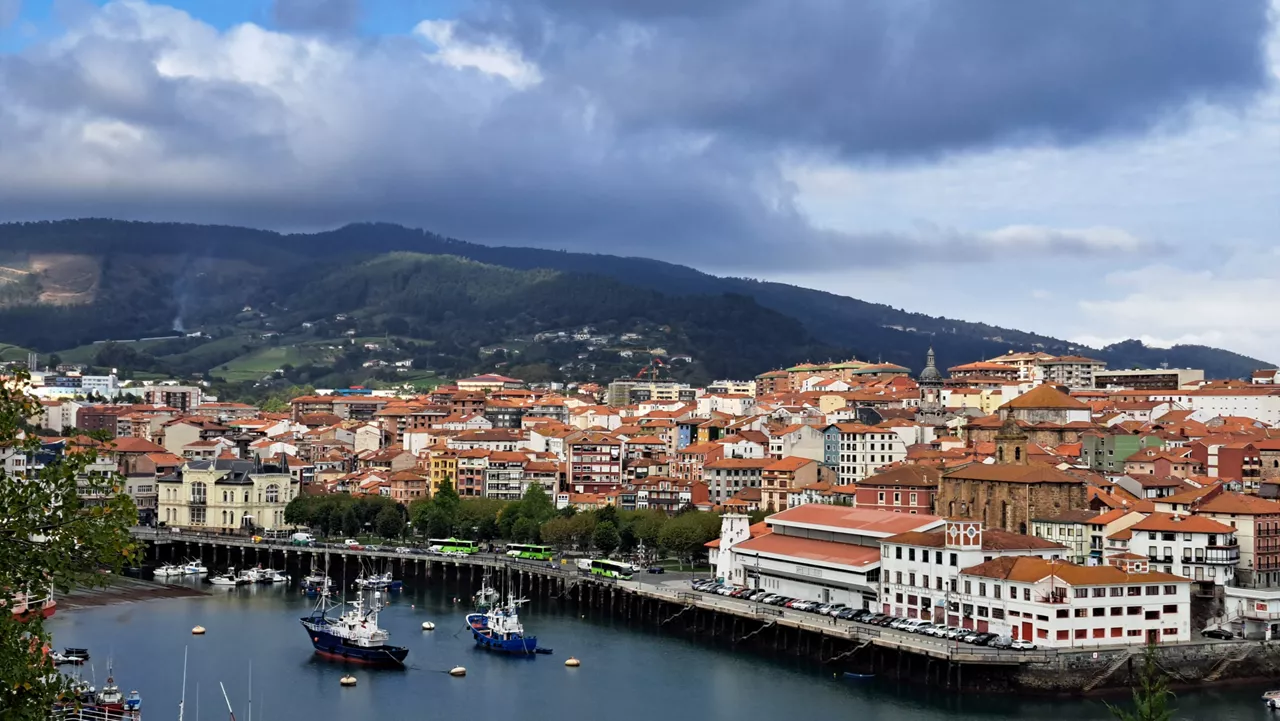
Turbulent atmosphere this Friday, on the verge of a quiet and warm weekend
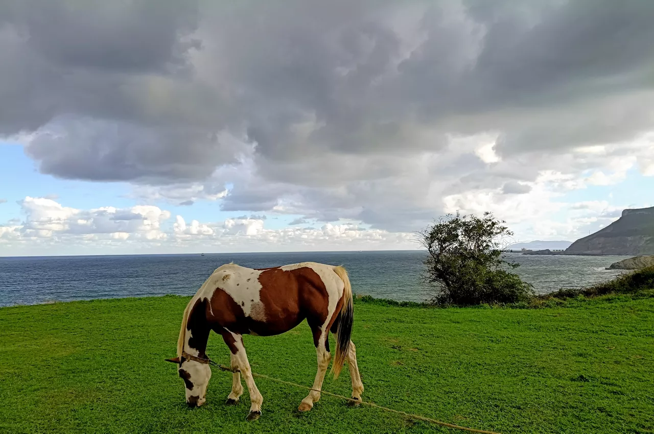
Changing atmosphere this week

Autumn atmosphere for the weekend

Sunny coming week

Heavy rains have left large pools of water in several villages in the South Basque Country
Yellow warning for heavy rains also this afternoon