A 7.8 magnitude earthquake kills at least 14 people in the Philip
Authorities continue to monitor several coastal areas as search and damage assessment continue.


At least 14 people have died as a result of the 7.8 degree earthquake on the southern Philippine island of Mindanao on Monday, according to the latest official balance sheet. The authorities have also reported seven people missing and nearly 10,000 people damaged .
Philippine Civil Defense has indicated that the number of casualties could vary as damage and consequences assessment work progresses. The earthquake has sunk several buildings and forced emergency services to be mobilized in several locations in the south of the country.
According to the Philippine Institute of Vulcanology and Seismology (Phivolcs), the epicenter of the earthquake was 32 kilometres west of the town of Maasim in Sarangani province, and the hypocenter was located 33 kilometres deep.
The authorities are also keeping the tsunami alert active after waves of up to one metre were detected in areas of the southern coast, including Kiamban, Maasim and Kudarate.
General Santos Police have confirmed major damage to buildings and the collapse of several buildings. Social media footage also shows serious damage to buildings and commercial establishments.
For its part, the Philippine Government has stressed that it has sufficient resources to deal with the emergency and to ensure rescue, relief and restoration efforts.
The earthquake has also led Japan and Indonesia to establish preventive tsunami risk alerts, while Indonesia has cancelled the warning hours later, while Japan maintains surveillance measures along part of the southern coast in anticipation of earthquake-related waves.
The Philippines is located in the Pacific Fire Belt , one of the most seismic areas in the world.

You might like
Partial curfews will be imposed in several French cities due to riots
Macron holds the far left responsible for the violence and conveys his support to the police and traders
Violent protests in Italy and Albania against rising prices
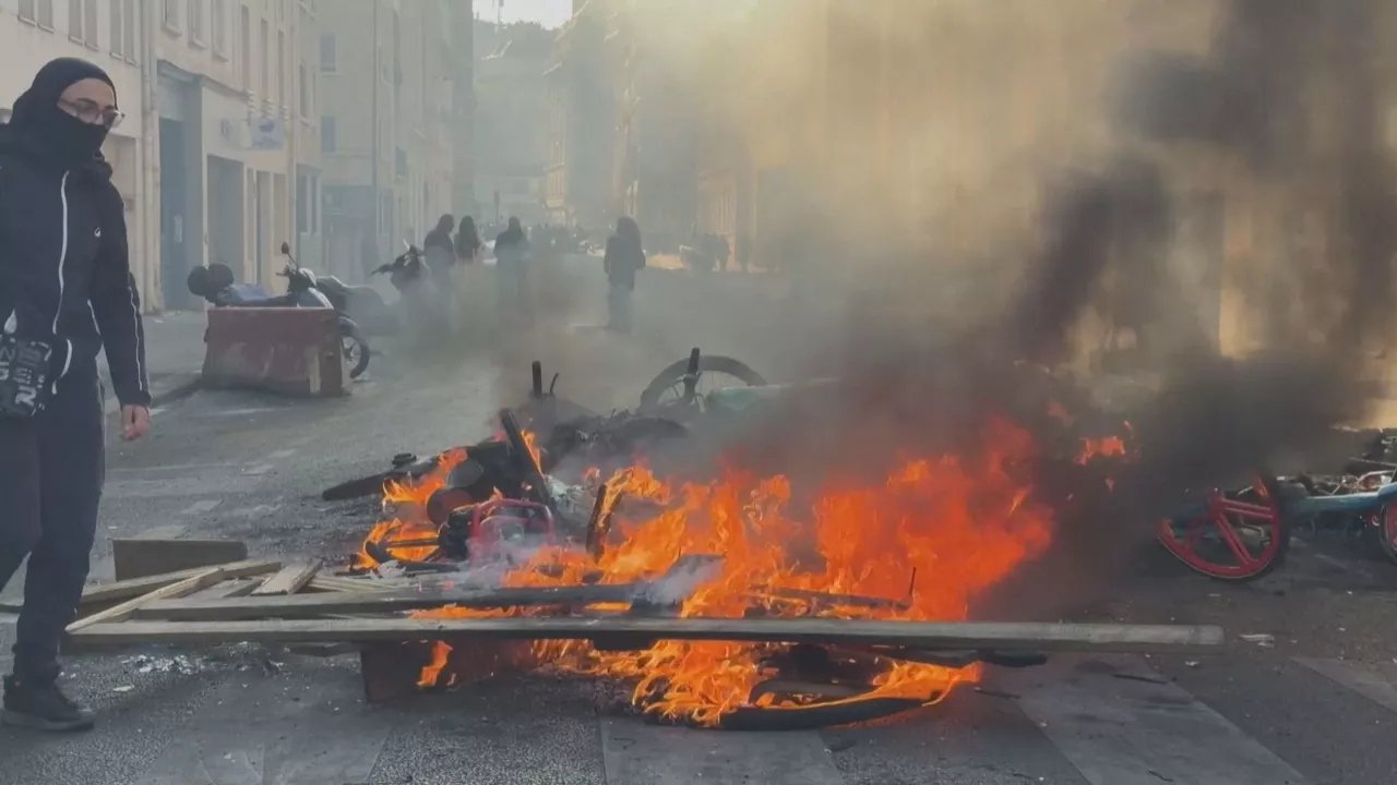
Riots erupt again in Paris the day after the protests
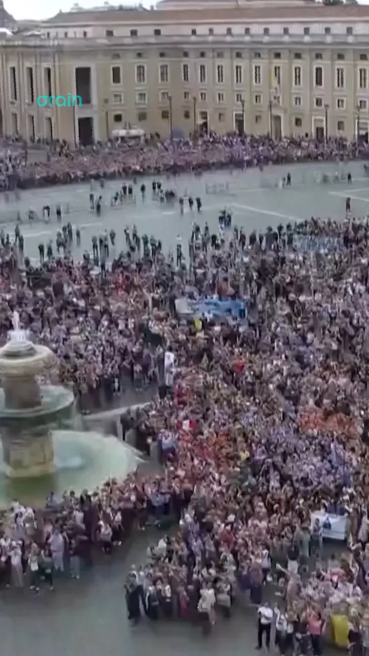
The Pope reappears in the Vatican to pray for the Angelus
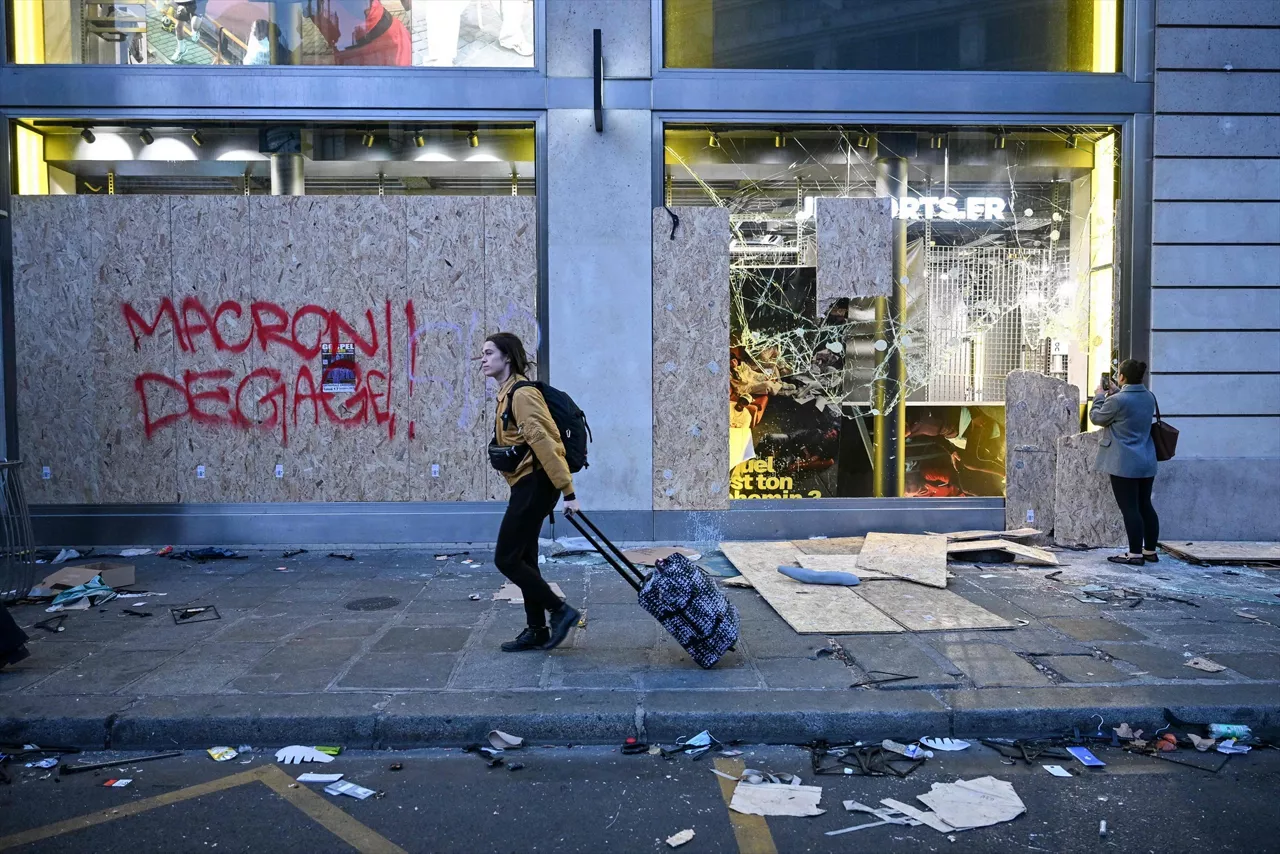
Consequences of the protests in France: one person has died, 1,200 have been arrested and there is destruction everywhere
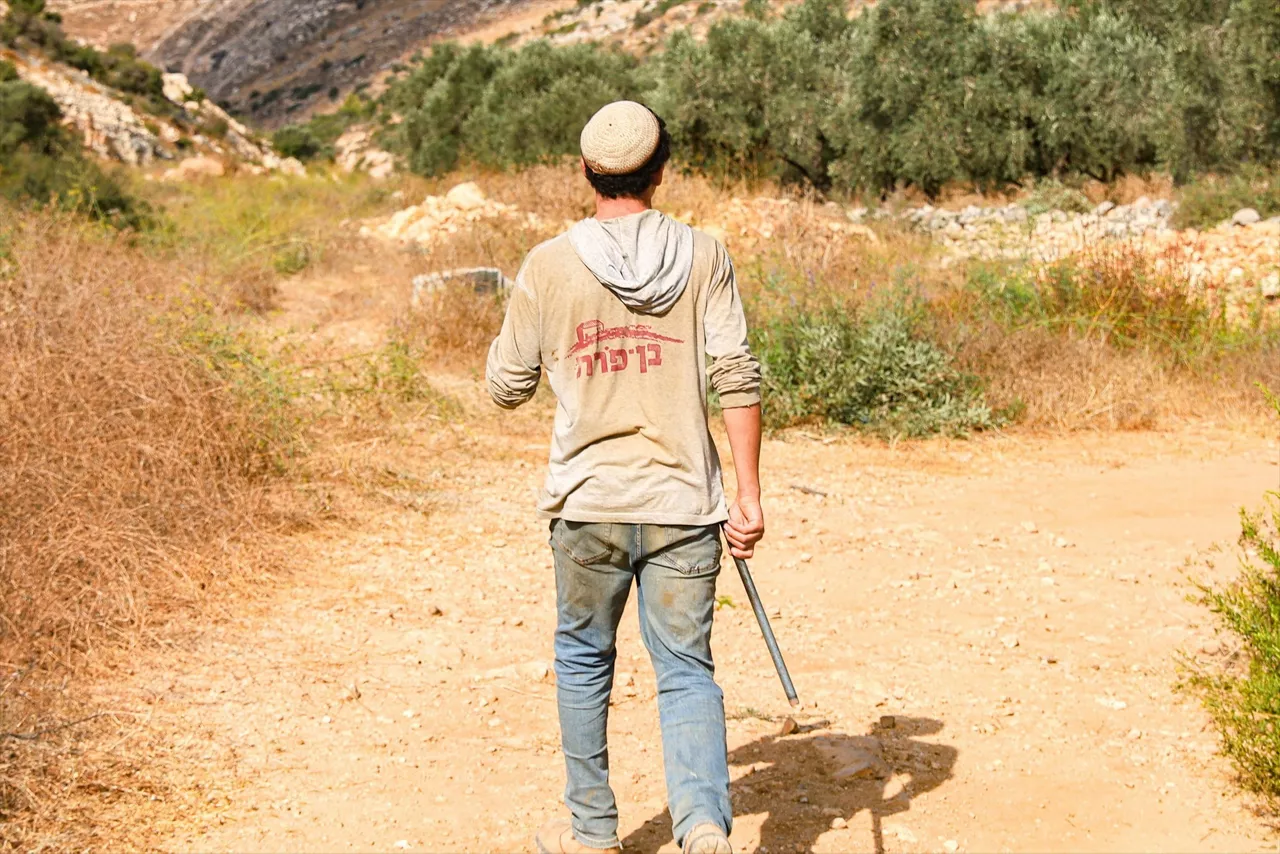
Israeli settlers attack diplomats from France, Belgium and Poland in the West Bank
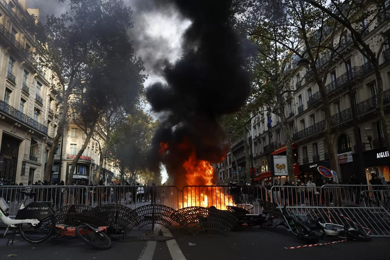
France on fire for student protests and 'yellow vests'
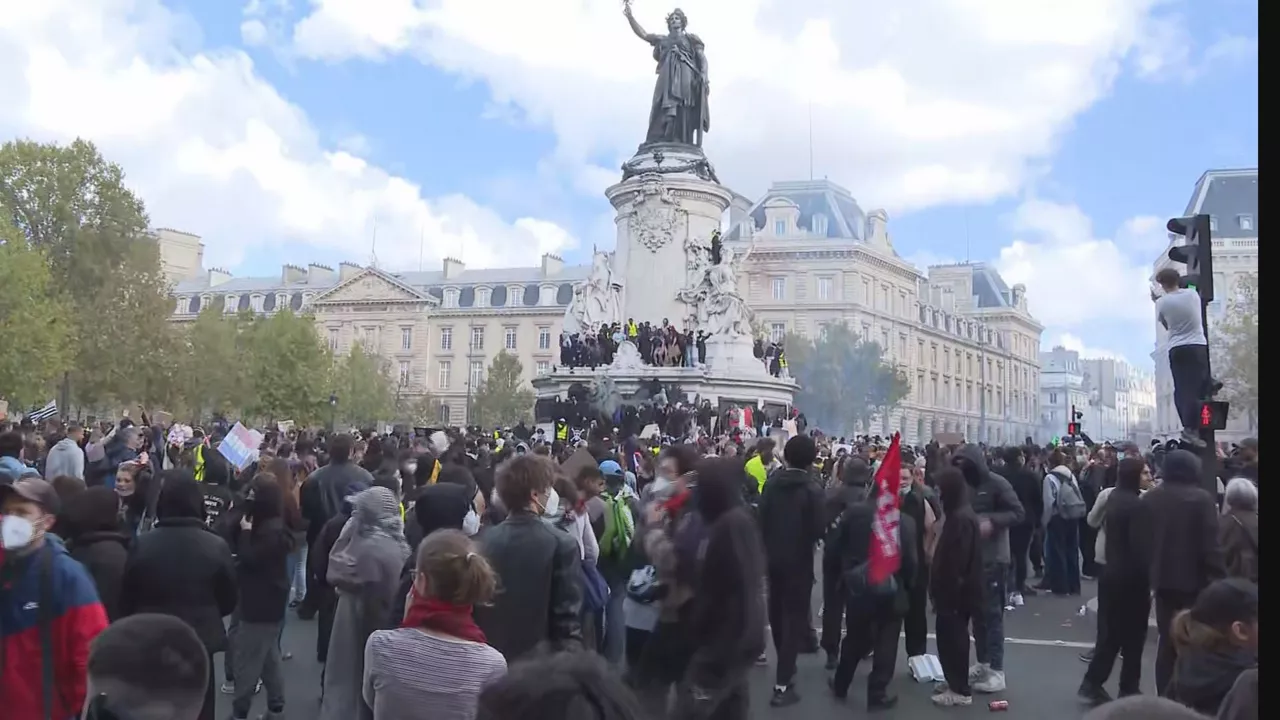
Riots and dozens of detainees in protests in Paris and other French cities