A cold front will cool and soak the atmosphere


A cold front has arrived in the Basque Country this Sunday and the weather will generally be fresh and wet, but it will improve in the coming days.
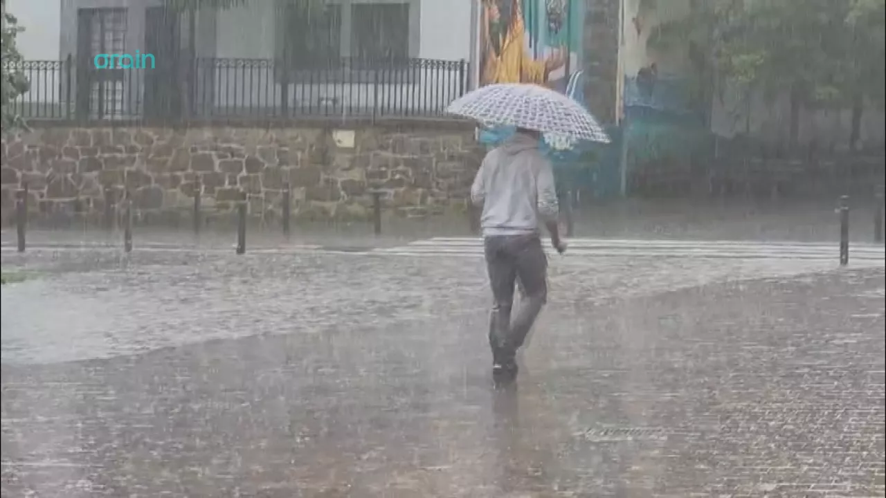
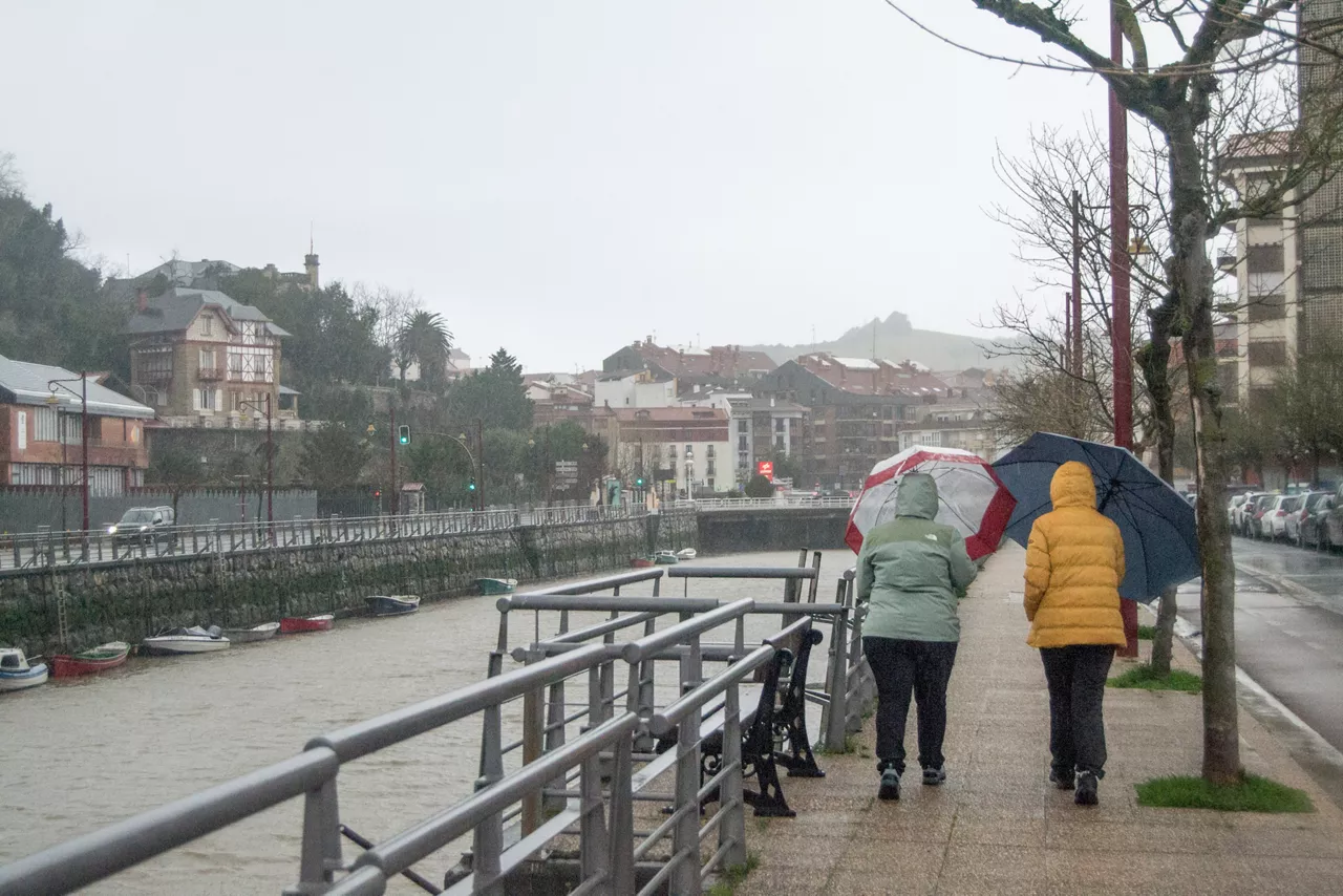
Today, Sunday, the front will be cold, the atmosphere will be gloomy, there will be rain and temperatures will drop. In the early morning fog has formed in some parts of the interior. Early in the morning the cloud will increase, starting from the northwest, it will be cloudy and as morning progresses it will rain. The showers may be locally strong and stormy.
Theweather on Monday will be variable, with cloudy intervals and the possibility of some occasional showers; at other times sunny and with long breaks, especially in the morning. Temperatures will not fluctuate much and the highs will be around 22 or 23 ° C. At the beginning of the day the wind will blow from the southwest, then it will blow from the northwest and intensify, especially along the coast.
On Tuesday, medium and high clouds will be plentiful and cloudy, but the rain will continue. At the beginning of the day the southern wind will blow, with some strong streaks, the maximum temperatures will rise two or three degrees and approach about 23-25 ° C. In the central hours of the day the wind will turn west and in the afternoon it will blow from the north.
From Wednesday , temperatures will rise, and sunny weather is expected for Thursday.
Yellow notice for navigation
A yellow warning will be in effect from 21:00 to midnight for maritime risk in the first two miles. Significant wave height will rise, and in the last few hours it will be around 2-2.5 m.
You might like

Changing atmosphere this week

Autumn atmosphere for the weekend

Sunny coming week

Heavy rains have left large pools of water in several villages in the South Basque Country
Yellow warning for heavy rains also this afternoon
Yellow warning for heavy rains today and tomorrow afternoon

Rain and rain till the weekend

After the rains, the weather will be more stable today, but faint showers are expected in the afternoon
Yellow notice for Saturday afternoon in the ACV due to heavy rains