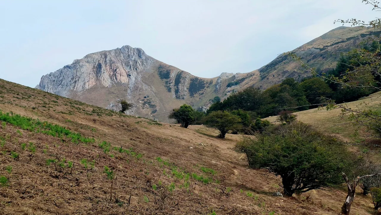
August 2025 was the third hottest August in the world


August 2025 was the third hottest Augustin the world, with an average global temperature of eta 16.60 ° C, which is 0.49 ° C higher than the 1991-2020 average, according to the latest Copernicus Climate Change Service (C3S) bulletin.
Although it is 0.22 ° C cooler than the 2023 and 2024 marks, the global temperature was 1.29 ° C higher than pre-industrial levels (1850-1900) and reinforces the trend of continued warming.
The Iberian Peninsula and the south-west of France experienced thethird great summer heat wave with extraordinary forest fires .
In continental Europe, the average temperature was 19.46 ° C, 0.30 ° C above the historical average, although it was outside the 10 warmest August recorded. However, Western Europe was the most affected area, with values far higher than usual.
On the contrary, Fenoscandia, the Baltic countries, Belarus and Poland had temperatures below the average.
Warming planet: records at sea and on land
BetweenSeptember 2024 and August 2025, the global anomaly compared to the pre-industrial period was +1.52 ° C and a cycle of extreme temperatures was consolidated.
- Oceans: The average surface temperature of the sea between 60 ° S and 60 ° N has reached 20.82 ° C, the third highest ever recorded , 0.16 ° C belowthe 2023 record.
- In Europe, a North Atlantic area west of France and theUnited Kingdom has set the absolute record for sea temperature at .
- In the Mediterranean, anomalies have been more moderate than those of the A02024.
On the contrary, Australia and parts of South America have recorded lower temperatures than usual, while Asia, China, Japan andthe Middle East have been among the hottest areas.
Northern Summer, the third hottest summer in history
The third warmest boreal summerever recordedbetween June and August 2025 was , 0.47 ° C above the 1991-2020 average, which is only exceeded by 2023 and 2024.
In the northern hemisphere are most of the positive anomalies , especially in Asia, while in South America and Australia there were punctual thermal declines.
You might like

Changing atmosphere this week
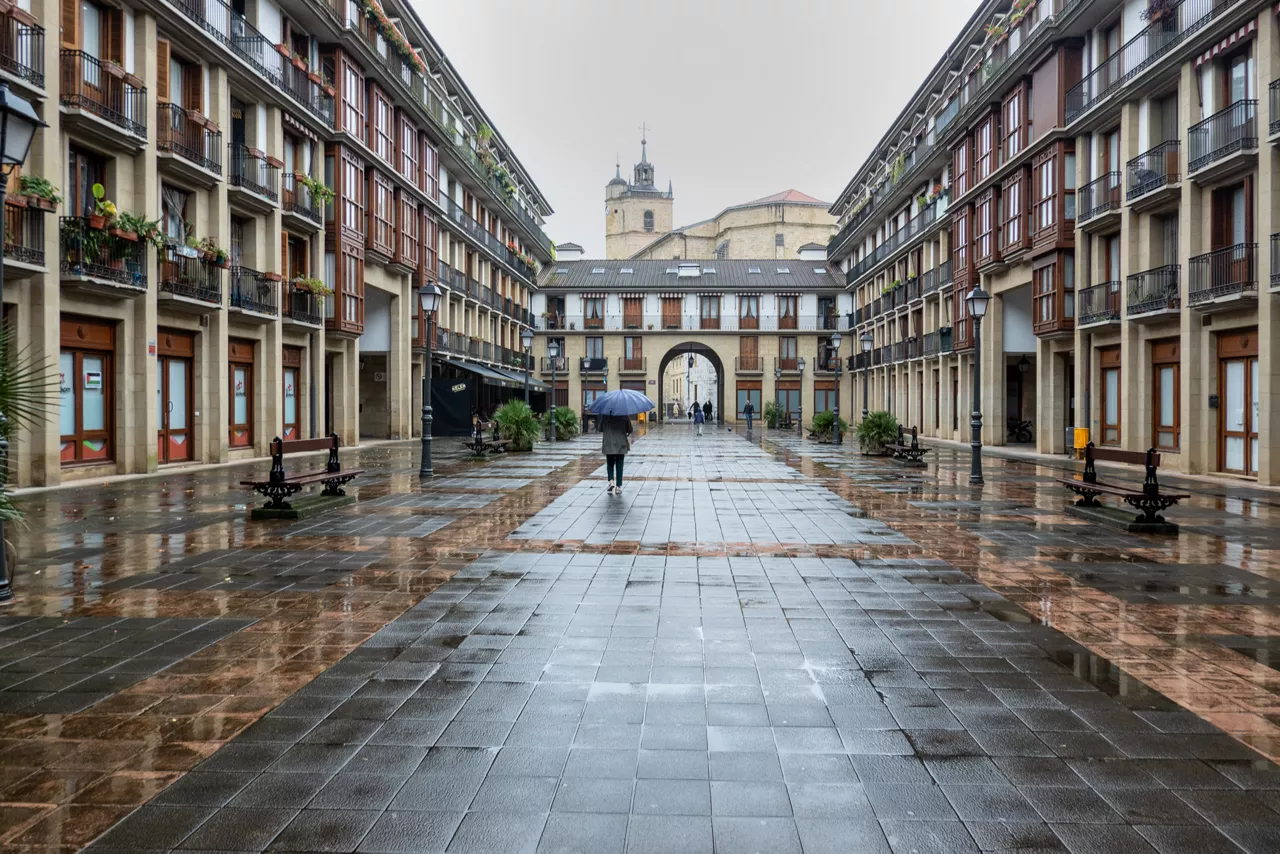
Autumn atmosphere for the weekend
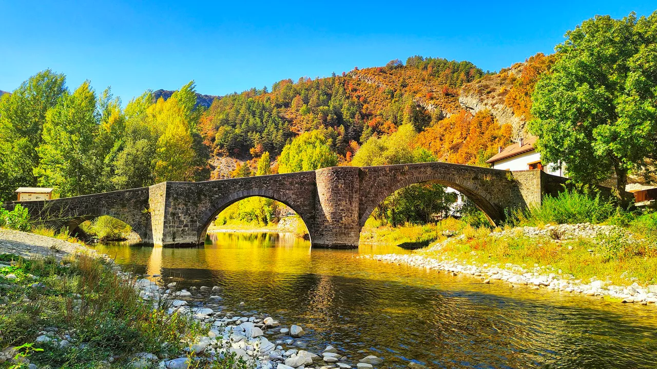
Sunny coming week
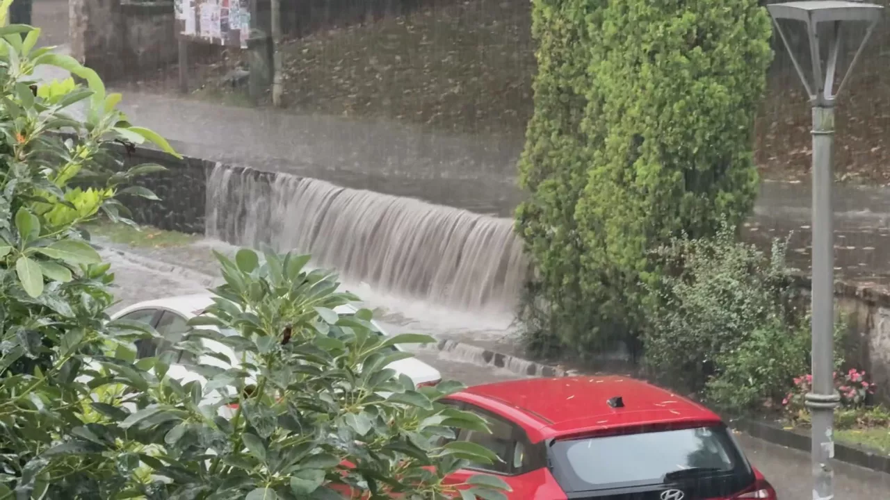
Heavy rains have left large pools of water in several villages in the South Basque Country
Yellow warning for heavy rains also this afternoon
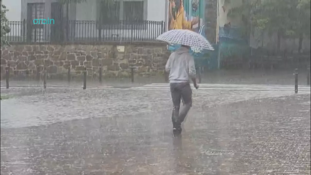
Yellow warning for heavy rains today and tomorrow afternoon

Rain and rain till the weekend

After the rains, the weather will be more stable today, but faint showers are expected in the afternoon
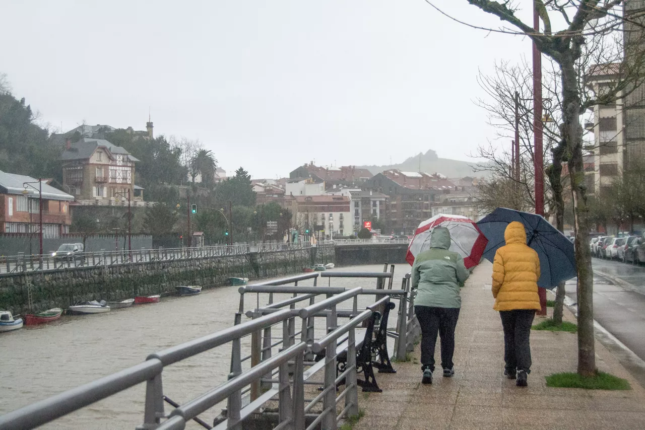
Yellow notice for Saturday afternoon in the ACV due to heavy rains