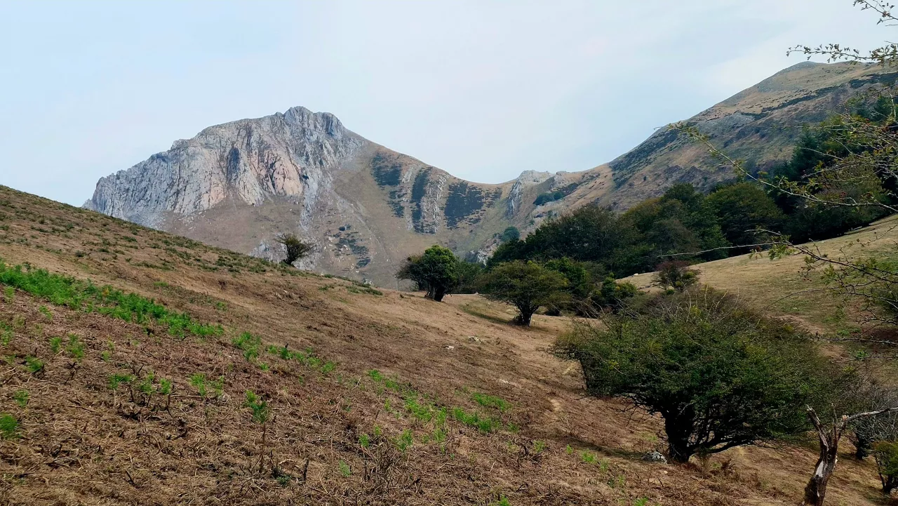
A sunny and warm week, with the southern wind as the protagonist
The skies will be largely clear and the maximum temperatures will be above 20 ° C in many places, although the minimum temperatures will be fresh.


We have a spring week ahead of us, after the rain of the last few days has soaked the area.
Early in the morning we will have low clouds in some parts of the northeast of the territory and fog in the Llanada Alavesa, but generally a sunny atmosphere will prevail in the morning. The afternoon will also be clear, but medium and high clouds will increase. After a cold dawn, the maximum temperatures will be between 15 and 18 ° C. The southern wind will be weak and will blow east in the afternoon.
On Monday, clouds and light will alternate, with the predominance of medium and high clouds. Although the atmosphere will be fairly clear, more clouds will appear in the sky, opening wide clear at intervals. It is possible that some cloud area will leave some drop. In the morning and evening, the southern wind will blow; in the midday, it will blow from the north.
On Tuesday, the southern wind will be the protagonist. It will disturb at many times, and strong and very strong streaks will be measured in the areas of the wind, especially in mountain areas. Clouds and blue spots will alternate in the sky and there will be a clear atmosphere; medium and high clouds will prevail. Temperatures will rise, and will be somewhat more noticeable at some points on the Atlantic side; the highs will remain above 20 ° C in many places.
On Wednesday, temperatures will rise even further, and we will continue with southern wind, but a change is expected for the weekend, as the wind will change trend and temperatures will drop.
You might like
Changing atmosphere this week

Autumn atmosphere for the weekend

Sunny coming week

Heavy rains have left large pools of water in several villages in the South Basque Country
Yellow warning for heavy rains also this afternoon

Yellow warning for heavy rains today and tomorrow afternoon

Rain and rain till the weekend

After the rains, the weather will be more stable today, but faint showers are expected in the afternoon
Yellow notice for Saturday afternoon in the ACV due to heavy rains