We'll end the year as cold as sunny, and we'll start


As announced by Euskalmet, the Basque Agency for Meteorology. The sun and cold will prevail in the last days of 2025, and the 2026 will start along the same lines.
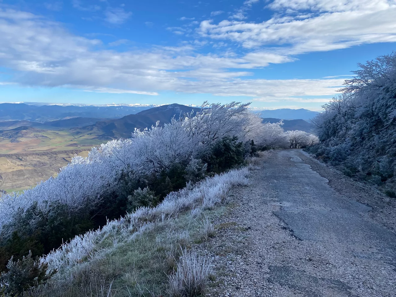
After a sunny Sunday, the skies will remain clear on Monday , especially on the Cantabrian side. In the south, the day will begin with fog, but it may be clear in the afternoon. During the night, low clouds will increase from the coast. In terms of temperatures, the coldest will be around 2-3 ° C in the interior and around 15 ° C on the coast.
Tuesday will be the gray day of the week. There will be plenty of cloud cover in the sky, especially on the Cantabrian side. At dawn the sky will be covered in the north half and it may rain, especially during the first half of the day. In the south, the morning will be clearer, but as the day progresses, the clouds will increase.
Wednesday will be the day of farewell to 2025, which seems to be greeted with clearer skies and cold, although there is a lot of uncertainty in the prediction. The trend is that the drop in temperature will be the most noticeable, with the possibility of weak frosts in Álava. The minimum temperatures will be between 3 and 7 ° C.
On New Year's Day, Thursday, the trend will continue along the same lines.
You might like
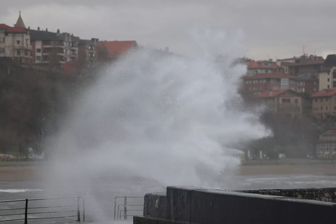
Yellow warning for Thursday in Bizkaia by wind waves exceeding 100 km/h
For this reason, the Basque Government's Department of Safety will activate the yellow warning from 06:00 to 15:00, while in Álava and Gipuzkoa winds of between 80 and 100 km/h are expected.
The southern wind will warm and dry the atmosphere over the next few days
Until Tuesday the southern wind will be the protagonist, leaving behind the cold and wet atmosphere of the last few days.
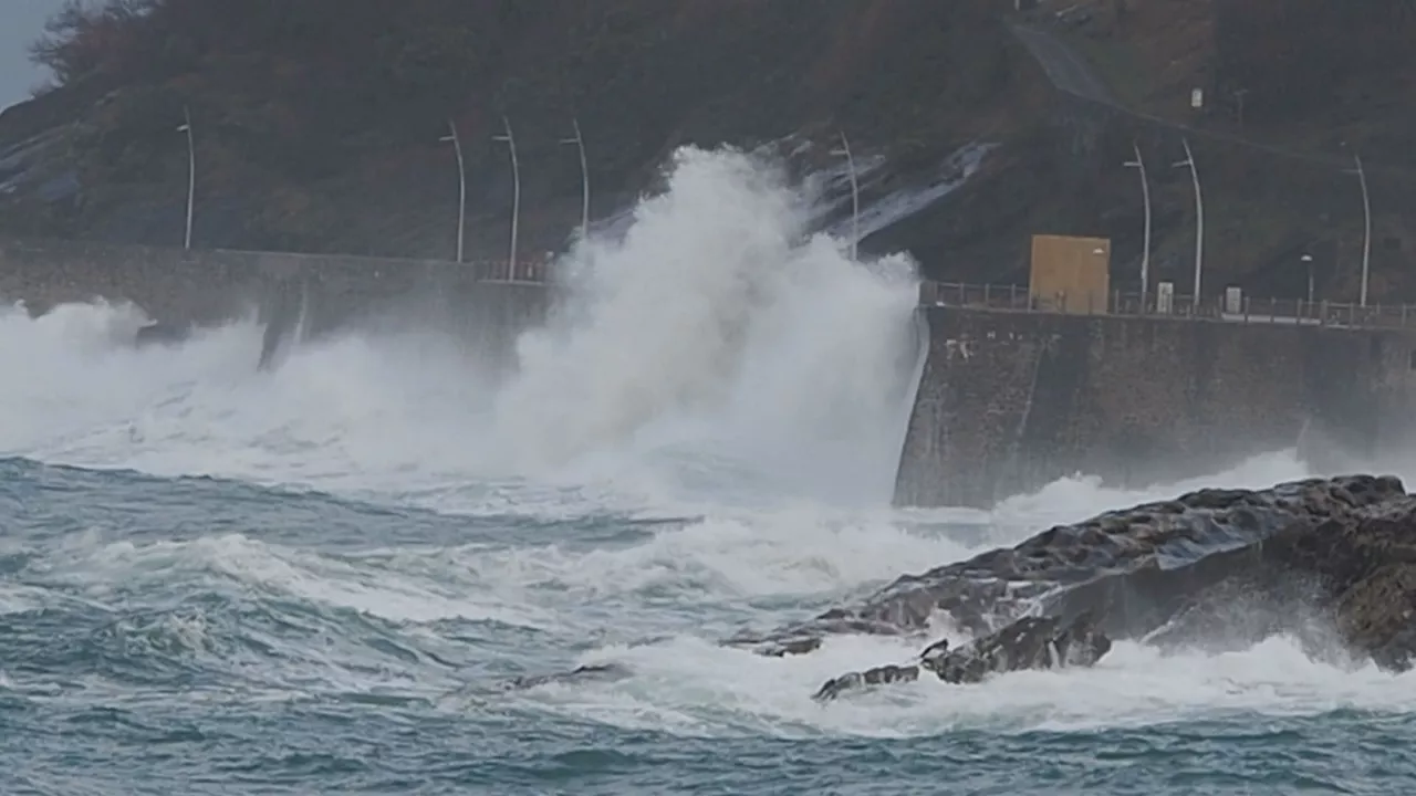
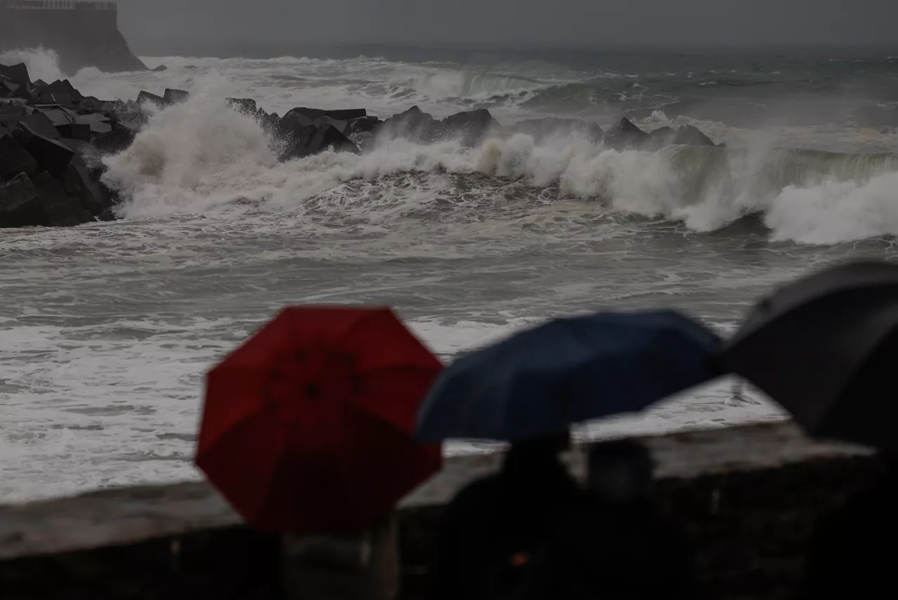
Goretti is getting the latest shocks from depression in the Basque Country
The coast of Bizkaia and Gipuzkoa will be under warning until 6:00 p.m. due to coastal hazards. In the Navarre Pyrenees there will be yellow warning for snowfall all day, although the forecast is that the weather will improve.
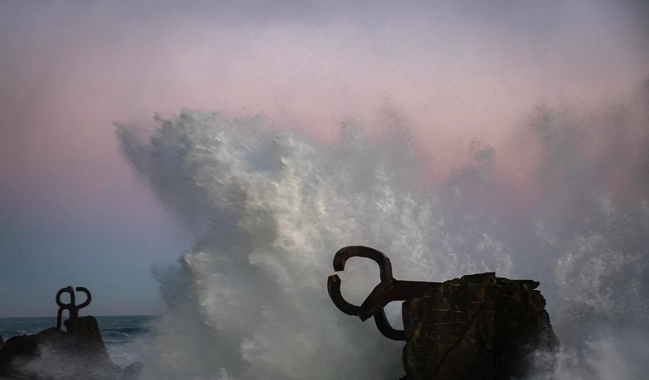
San Sebastian will close its promenade on Friday because of the orange wave alert
The closures will continue until 9 a.m. on Saturday and the transport service to Santa Clara Island will also be suspended.
What's an explosive cyclamesis?
The arrival of 'Goretti' depression has put the weather phenomenon back in the spotlight.
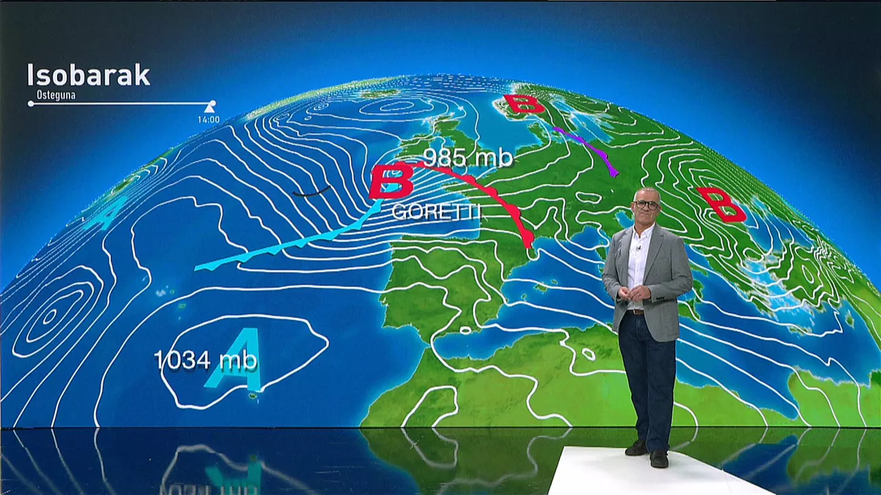
The explosive cyclamesis "Goretti" arrives after the extreme cold in the Basque Country
The storm will bring unstable weather to the next few days, especially the sea storm, the rain, and the snowfall.
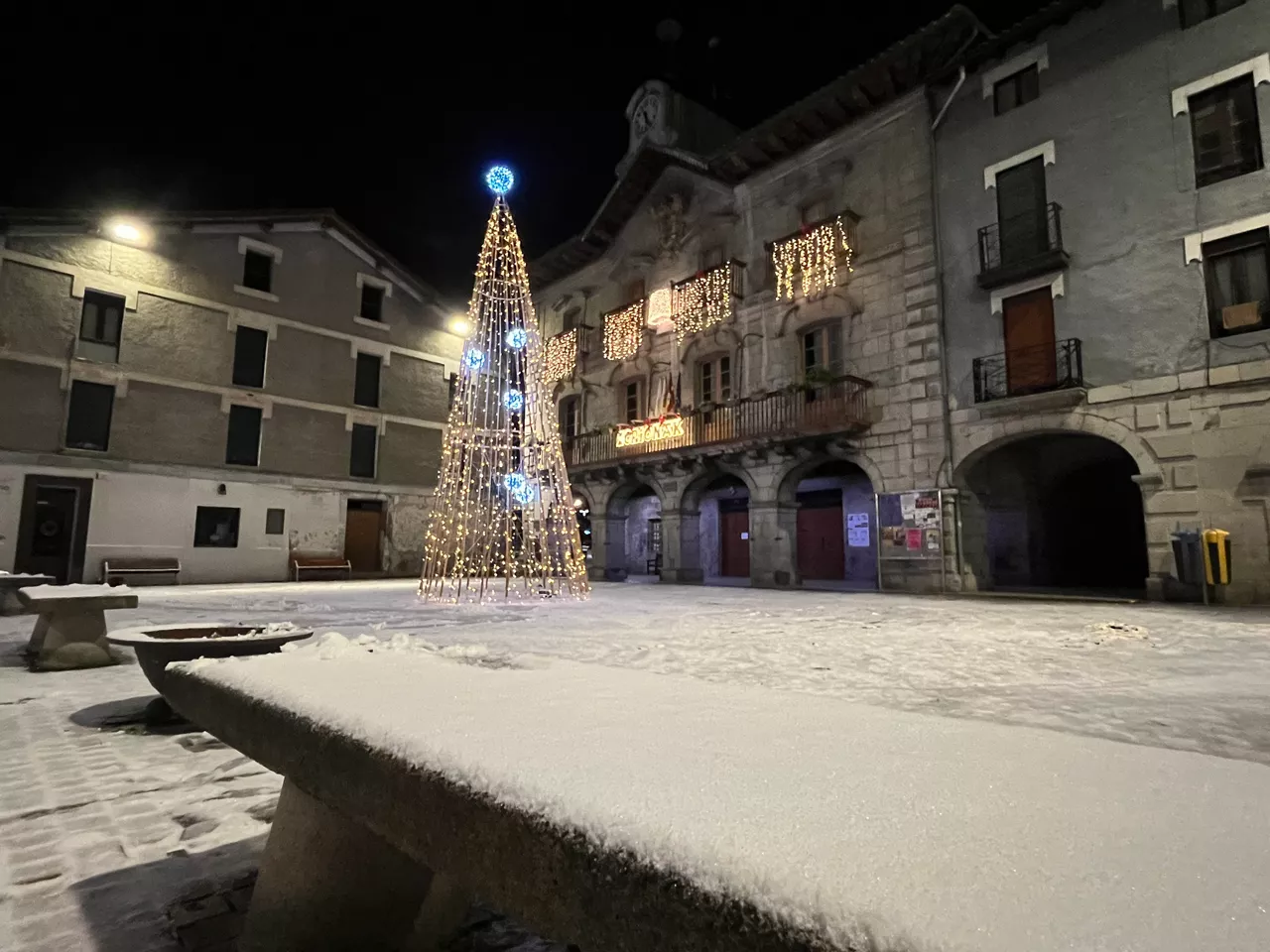
It's snowing in the Basque Country!
It is snowing all over the Basque Country except on the coast, so some road is cut off in Navarre, chains are needed in several ports and until the afternoon the yellow snow and ice warning is activated.
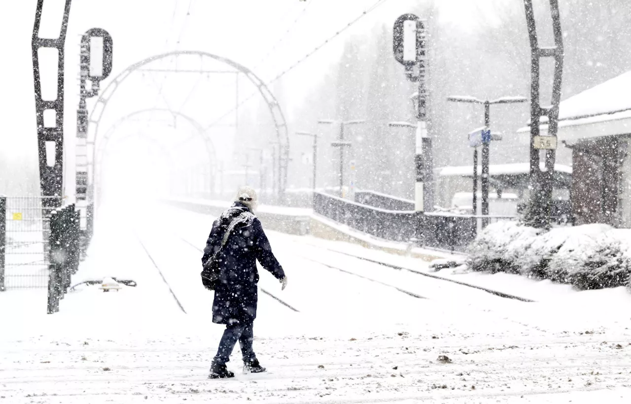
A cold front has left heavy snowfall in central Europe
A cold front from the Arctic has alerted much of Europe. There have been problems at airports and public transport in Scotland, the Netherlands, France and Italy.
The week has started with zero and ice temperatures all over the Basque Country
On Monday the rain will continue for most of the day and towards night, as the fog enters, it may occasionally fall. At night the snow level will be around 200-400 meters.

Yellow ice warning in Hego Euskal Herria
Maximum temperatures will not exceed 5 ° C, and in the Navarre Pyrenees thermometers will drop to -6 ° C.