The southern wind will warm and dry the atmosphere over the next few days
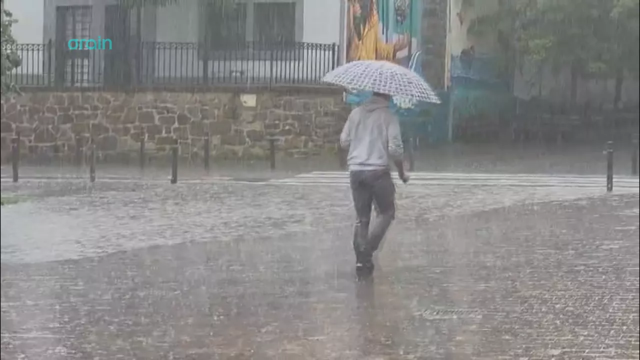
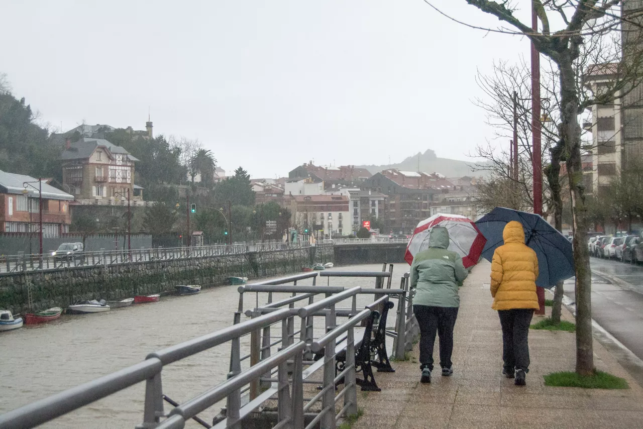
After the storm brought by Goretti, the atmosphere created by the South Wind will prevail over the next few days, so that temperatures will rise significantly and the rain will continue.
Today we will have a quiet atmosphere, with rising temperatures, which will generally keep the rain, but with an increase in medium and high cloud cover in the morning, which will leave the sky covered at intervals. The southern wind will blow without much force at first and will intensify during the night. Maximum temperatures will rise, especially on the Cantabrian side, where they will reach around 15 ° C.
On Mondaythe southern wind will blow strong and disturb; very strong streaks will be measured in exposed areas, which may cause temperatures to rise slightly in the northern half, but in the south the highs will remain the same, while the minimum will rise at all times.
On Tuesdaythe atmosphere will continue along the same lines. Medium and high clouds will predominate and increase from the afternoon onwards. There may then be some rain inside. The southern wind will blow strong at first, but will weaken in the evening and night. We will continue without much change in temperature or fall slightly.
On Wednesday, on the other hand, temperatures will drop considerably due to the west wind, and rain will return. On Thursday the southern wind is expected to return, and the weekendwill begin to rain.
You might like
Yellow notice for high heat also on Sunday
Temperatures are expected to be around 35 degrees Celsius inland, while on the coast there is no warning and temperatures will be below 30 degrees Celsius.
The stifling heat returns to the Basque Country
On Wednesday temperatures will remain unchanged, but on Thursday there will be a significant rise, and thermometers will be above 30 ° C in Bilbao, Vitoria-Gasteiz and Pamplona/Iruña.
Dry and sunny atmosphere in early September
On Monday and Tuesday the temperatures will be softer, but from Wednesday to Thursday the heat will return. In general, the week will be sunny, despite the clouds that will remain on the coast tomorrow.
The summer atmosphere will prevail over the next few days, but it may rain on Sunday in the Basque Country
The weekend will begin with fresh temperatures, which will drop to 9 ° C on Saturday in Vitoria-Gasteiz, although the highs will be above 30 ° C at various points in the territory, while on Sunday there could be a Sirimiri in the last few hours.
There will be a sultry atmosphere today, accompanied by the South Wind
Thermometers could go up to 34 ° C at many points and in the morning there will be clouds and light; in the afternoon clouds of evolution will develop and some stormy rain may fall.
The heat will keep squeezing Euskal Herria next week
The next few days will be marked by high temperatures, with the possibility of showers during the second half of the day.
Sunday will be hot again in the Basque Country
Although the day will begin with low temperatures — 14 degrees Celsius in Vitoria-Gasteiz — it will reach 34 degrees Celsius in Pamplona and 32 degrees Celsius in Bilbao, with the possibility of changes in the afternoon and stormy and hail showers at some points.
Navarre has issued a yellow warning for heavy rains and storms
Showers are expected at noon and there may also be storms, hail and very strong wind streams. The forecast is that precipitation is more likely in the Pyrenees and the Ebro Bank.
It's still a matter of rain, but he's going out in the afternoon and looking at the weekend
Heavy showers could occur today on the cantabrian side, especially in Bizkaia, Gipuzkoa and Iparralde, where a yellow warning will be activated, with the possibility of stormy showers on Saturday and Sunday.
The rain is coming to the Basque Country
In the west and on the coast the first showers will occur in the morning and as the hours go on, the rain will spread throughout the Basque Country, occasionally accompanied by thunderstorms and hail.