The Cantabrian Sea has broken records on the Basque coast, warmed up above 26 ° C
Experts have long warned that the Cantabrian is resembling the Mediterranean, and last summer's data leave no room for doubt: the waters off the Basque coast have recorded high thermal anomalies, 3 ° C above normal temperatures, with averages of 23.4 ° C.


Anyone who had bathed in the waters off the Basque coast this summer would have noticed that the sea was particularly hot; it did not seem like the Cantabrian Sea, but rather the Mediterranean. In this summer weather season (June-August) the average temperature of sea surface water has been 23.4 ° C, 1.7 degrees more than usual in the last decade.
However, there have been days when temperatures have far exceeded these figures, reaching 26 ° C; on 17 August this year, the State Ports buoy off Cape Matxitxako recorded a record temperature of 26.1 ° C. The previous highest mark in the area was on 14 July 2018 at 25.5 ° C.
This year's records have surpassed all recent historical records, and July has been a milestone, with thermal anomaly 2.1 ° C higher than the average of the last decade.
In 2026, moreover, the temperature of water on the Basque coast has warmed earlier than usual. According to the data analysed, in May, the average temperature rose to 17.4 ° C (in 2017 it was 15.7 ° C) and in April the absolute peak never seen reached 17 ° C.
The sea doesn't cool
Temperatures this summer have been very high: the second warmest since at least 1970, according to the Basque Meteorology Agency, Euskalmet, after 2003. The sun has heated the sea a lot, and after sunset the water has not even been able to cool down: in 68% of summer nights, the water temperature exceeded 23 ° C, and in 9 of them it did not fall from 25 ° C.
The hottest night was the morning of August 17th from 00:00 to 06:00, the minimum water temperature was 25.5 ° C.
Heat waves, even at sea
These high temperatures recorded in our waters have not been a one-off phenomenon. The warming periods have continued over time, so that this summer we have had three aerial heatwaves (to which must be added another one from May), and two at sea.
The first incident was 16 days (from 18 June to 3 July) of "moderate" intensity, with an average anomaly of 2.3 ° C over normal values.
The second heat came immediately: five days, the sea entered a second heat wave, which was "severe." It lasted for 50 days, from July 9 to August 27, and for several days there were anomalies of about 3 ° C.
You might like

The Council will launch a virtual league between Guipuzcoan municipalities to promote healthy ageing
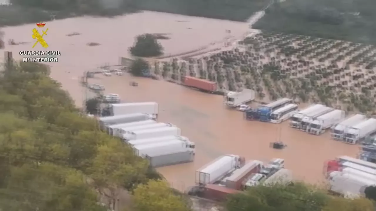
The storm has left two dead in Valencia, where the government is preparing a restraining order
The remains of Neanderthals have been found for the first time in Navarre in the caves of Abaunz

There will be news: Vaccinations in the ACV and flu vaccination in Navarre, Adam GOIDI and protests in France

The Invisible Breast Cancer Bill
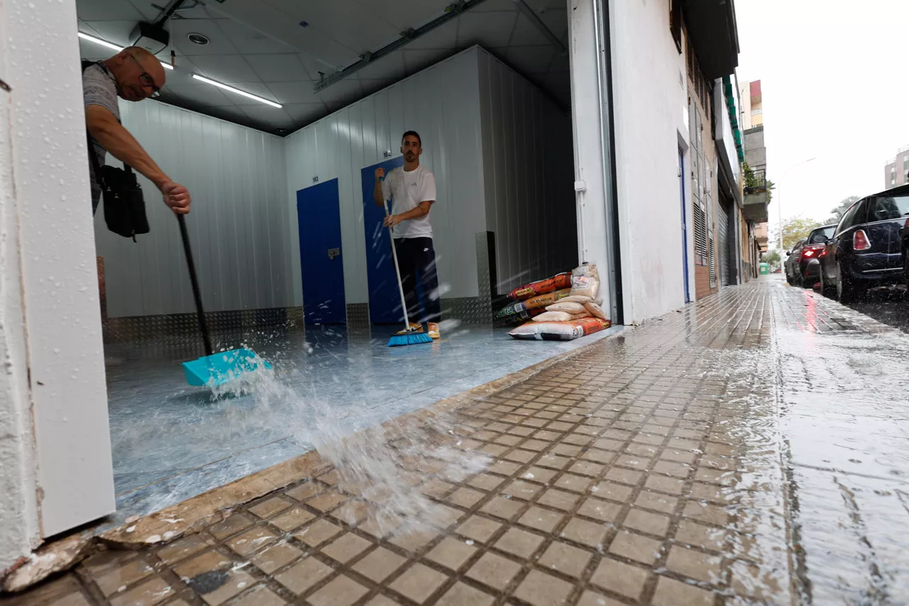
Red alert continues in Valencia and Alicante for storm Adam heading for Catalonia

More than 200,000 people are called to be vaccinated against influenza and covid in Navarre today

A talo with record jokes: Barakaldo gets the longest in the world

The "Basauri Eleven" case, convicted of abortion in the 1970s, turns 50