The wind will blow farewell, and the Sirimiri will take the witness over the weekend
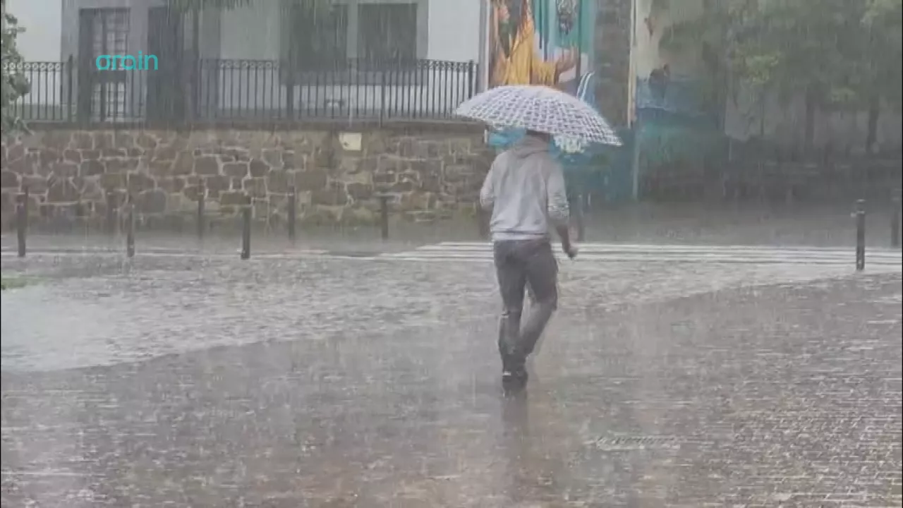
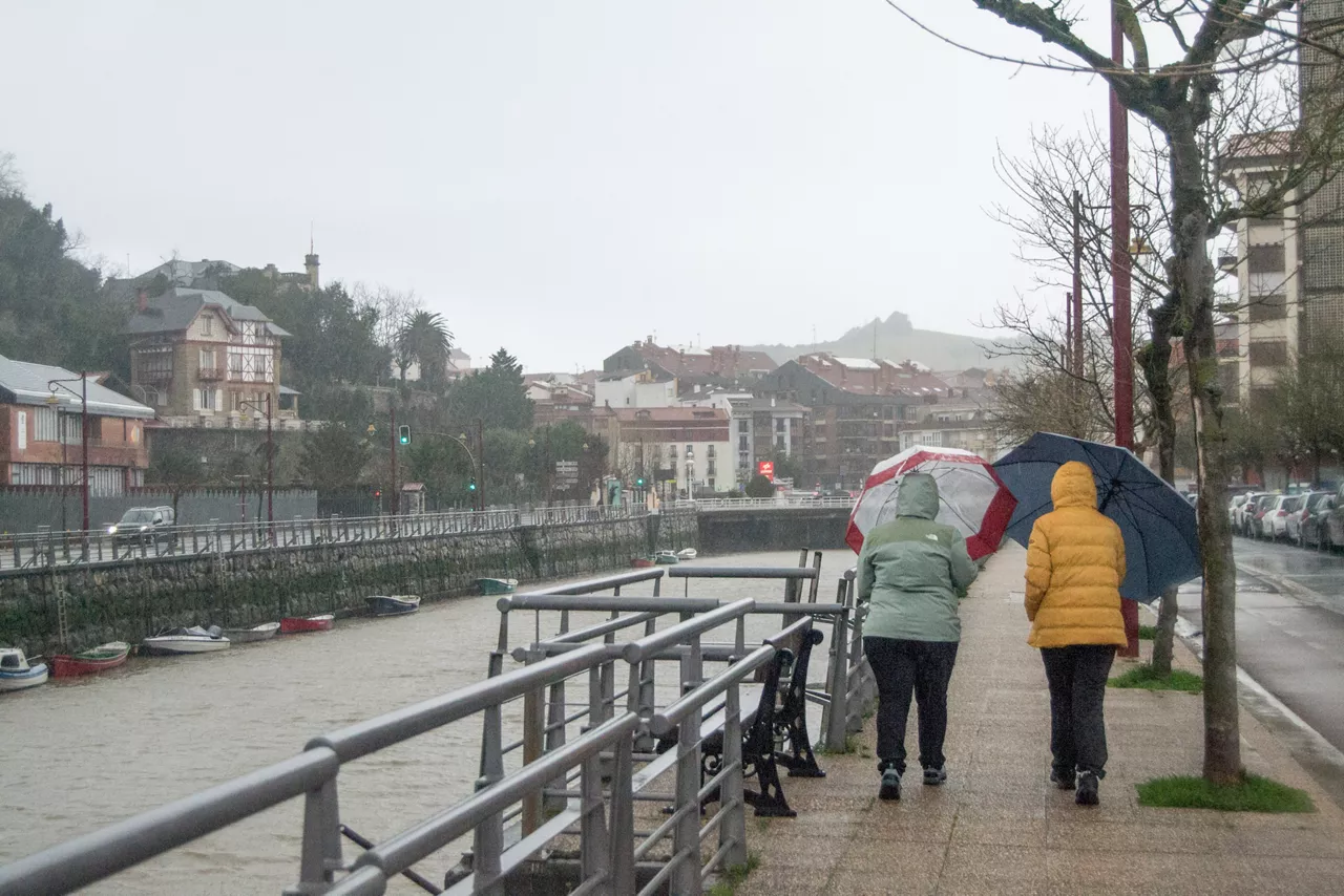
The yellow warning will be suspended and the warm and humid atmosphere will take over, as more Sirimiri and cloud cover is expected on Saturday and Sunday.
After the strong southern wind on Friday, the situation will calm down over the weekend, as Saturdaywill begin with a quieter atmosphere, although theIrimiri z will again be the protagonist.
Saturday morning will still awaken with the southern wind, though it will be quite intense at intervals. However, as the hours pass, it will lose strength. Some light will appear in the morning, but the cloud will increase. In the afternoon, however, the sky will be covered. During the first half of the day there may be some showers, and in the afternoon some more rain is expected, especially in the interior.
On Sunday temperatures will fall even further, though the atmosphere will not be unpleasant. Rain is possible throughout the day, and the wind will still blow from the south, but far from the violence of Friday.
Friday winds
The southern wind of Friday has left extreme recordsat some points: streams of 180 km/h in Gorramendi, 160 km/h in Aralar, and also very high in coastal and inland areas (Zarautz 136 km/h, Donostia 124 km/h, Mallabia 116 km/h, Sokoa and Iurreta 102 km/h, and Bilbao 92 km/h).
The wind has also caused a number of problems, including at Bilbao Airport, so the authorities called for caution in areas where there could be unstable trees and moving objects.
You might like
Yellow notice for high heat also on Sunday
Temperatures are expected to be around 35 degrees Celsius inland, while on the coast there is no warning and temperatures will be below 30 degrees Celsius.
The stifling heat returns to the Basque Country
On Wednesday temperatures will remain unchanged, but on Thursday there will be a significant rise, and thermometers will be above 30 ° C in Bilbao, Vitoria-Gasteiz and Pamplona/Iruña.
Dry and sunny atmosphere in early September
On Monday and Tuesday the temperatures will be softer, but from Wednesday to Thursday the heat will return. In general, the week will be sunny, despite the clouds that will remain on the coast tomorrow.
The summer atmosphere will prevail over the next few days, but it may rain on Sunday in the Basque Country
The weekend will begin with fresh temperatures, which will drop to 9 ° C on Saturday in Vitoria-Gasteiz, although the highs will be above 30 ° C at various points in the territory, while on Sunday there could be a Sirimiri in the last few hours.
There will be a sultry atmosphere today, accompanied by the South Wind
Thermometers could go up to 34 ° C at many points and in the morning there will be clouds and light; in the afternoon clouds of evolution will develop and some stormy rain may fall.
The heat will keep squeezing Euskal Herria next week
The next few days will be marked by high temperatures, with the possibility of showers during the second half of the day.
Sunday will be hot again in the Basque Country
Although the day will begin with low temperatures — 14 degrees Celsius in Vitoria-Gasteiz — it will reach 34 degrees Celsius in Pamplona and 32 degrees Celsius in Bilbao, with the possibility of changes in the afternoon and stormy and hail showers at some points.
Navarre has issued a yellow warning for heavy rains and storms
Showers are expected at noon and there may also be storms, hail and very strong wind streams. The forecast is that precipitation is more likely in the Pyrenees and the Ebro Bank.
It's still a matter of rain, but he's going out in the afternoon and looking at the weekend
Heavy showers could occur today on the cantabrian side, especially in Bizkaia, Gipuzkoa and Iparralde, where a yellow warning will be activated, with the possibility of stormy showers on Saturday and Sunday.
The rain is coming to the Basque Country
In the west and on the coast the first showers will occur in the morning and as the hours go on, the rain will spread throughout the Basque Country, occasionally accompanied by thunderstorms and hail.