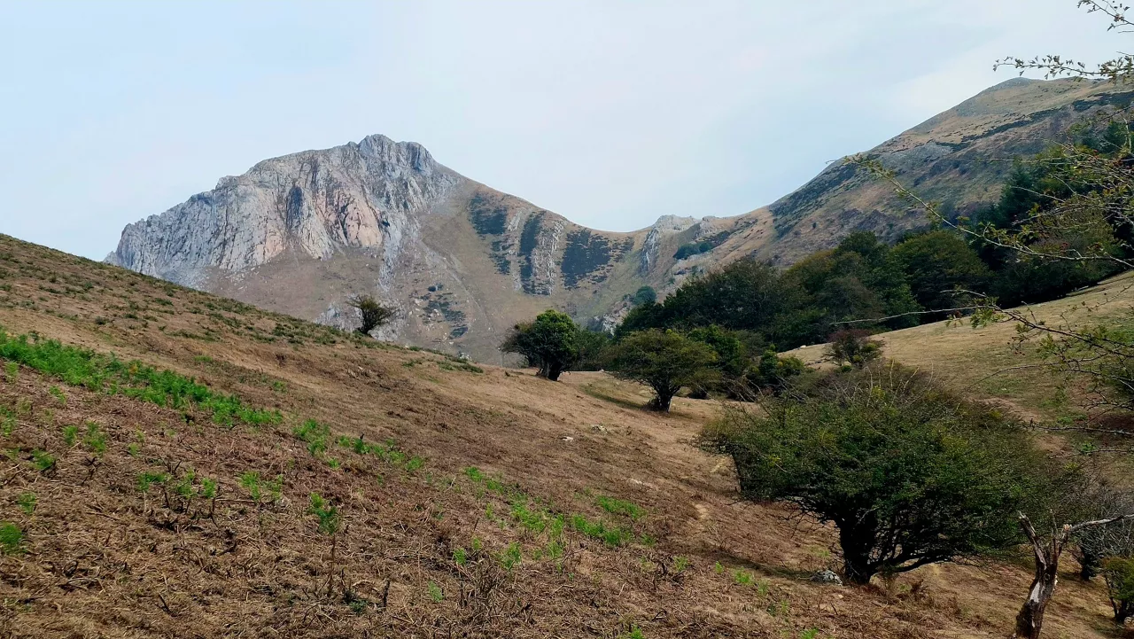
The Last Rays of the Sun Before Change


With the introduction of summer in its last month, rainfall will be the dominant pattern, with a significant change from Thursday, while the sun and temperatures will be mild on the Atlantic side and warm on the interior.
On Tuesday, there will be a stable and clear atmosphere once the low morning clouds rise. Although there may be some fog rain in Gipuzkoa and Iparralde early in the morning, it will generally become clear. In the south it will be clear. The wind will blow from the north, mild in the morning and a little more intense in the afternoon and inside. Maximum temperatures will rise a couple of degrees inland. It could even reach 35 ° C in the center and south of Navarre and there will be a yellow warning from 13:00 to 21:00.
On Wednesday, the Atlantic side will be cloudy early in the morning, especially along the coast; in the south the light will predominate in the morning, but as the afternoon progresses it will become cloudy and showers will not be ruled out here and there at the end of the day, however small. The northern wind will soften temperatures slightly in the afternoon in the north, and in the afternoon the wind will revive slightly in the interior.
On Thursday, there will be a change. Although there will be medium and high clouds in the morning, it will become cloudy as the hours go on from the west. In the afternoon it will rain and at the end of the day there may be more intense showers. Maximum temperatures will drop, a couple of degrees north and four or five or more, in the interior regions. The wind will blow from the north and intensify in the afternoon.
You might like

Changing atmosphere this week

Autumn atmosphere for the weekend

Sunny coming week

Heavy rains have left large pools of water in several villages in the South Basque Country
Yellow warning for heavy rains also this afternoon

Yellow warning for heavy rains today and tomorrow afternoon

Rain and rain till the weekend

After the rains, the weather will be more stable today, but faint showers are expected in the afternoon
Yellow notice for Saturday afternoon in the ACV due to heavy rains