
Rain and temperature drop until Thursday
Instability will be the dominant note for the next two days, with weak rains on the cantabrian side, the possibility of thunderstorms inside and a drop in maximum temperatures.


Today, Wednesday, clouds will predominate in the north, with weak rains, especially in the cantabrian area. In the south the skies will be clearer for much of the day, but in the afternoon cloud cover will increase and at the end of the day there will be storms, especially in the east.
The wind will blow from the north and the closure will intensify in the afternoon, lowering the maximum temperatures, higher in the north half and lower in the south.
The highs will be 23 degrees in Donostia-San Sebastián, 24 degrees in Bilbao and Arrasate, 25 degrees in Vitoria-Gasteiz, 28 degrees in Laguardia, 30 degrees in Pamplona and 25 degrees in Baiona.
On Thursday we will continue with a cool and humid atmosphere. The day will begin with very cloudy skies and rain in the north half, although it may also rain in the early hours in the south, and stormy showers in the east. Throughout the morning, rain will cease in the interior and in the afternoon in the cantabrian regions. At the end of the day, light will open, especially to the south.
The northern wind streams will keep temperatures below 30 degrees Celsius throughout the Basque Country and below 25 degrees Celsius along the coast, with maximum of 23 degrees in Donostia-San Sebastián, 24 in Bilbao, Arrasate and Laguardia, 23 in Vitoria-Gasteiz, 25 in Pamplona and 23 in Baiona.
For Friday, the weather will tend to stabilize. The day will begin with mist and fog, but in the morning there will be cloudy or clear intervals. Minimum temperatures will drop slightly and maximum temperatures will rise significantly in the interior and lower on the coast.
On Saturday the clouds will return and in the afternoon there may be showers, and maximum temperatures will continue to recover, especially on the Mediterranean side.
On Sunday we will have a similar weather: clouds and light, some evening showers and little change in temperature compared to the previous day.
You might like

The Basque Country has activated the yellow warning this Saturday for the possibility of reaching around 35 degrees south of the territory
Notice will be in effect from 12:00 to 20:00.

Rainy and cool weather before the heat returns on Friday
On Thursday there will be cloud cover and precipitation in most parts of Euskal Herria, but the weather will gradually improve. On Friday temperatures will rise significantly, and during the weekend there may be stormy showers in the evenings.

July data: 3.6 ° C warmer than normal and extreme drought
It was the heat wave from the 5th to the 12th of the month that broke records, with temperatures exceeding 40 degrees in many places.
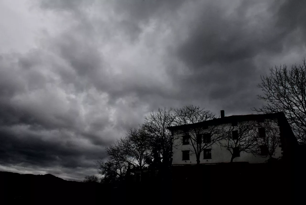
The week has begun with a change: there may be less heat and storms in the afternoon
Cloud cover will increase this Monday and temperatures will drop in the Basque Country, and stormy showers are not ruled out in the afternoon, especially in the east, while stable and warm weather will return on Tuesday.

Gloomy skies and pleasant temperatures to start August
From noon onwards, however, the clouds will dissipate and the sun will shine. In the Ribera it will be hot today and a yellow warning has been activated. Tomorrow, the Rioja Alavesa, the centre of Navarre and the Pyrenees will also be under warning for maxima above 35 degrees.

Navarre is back on a hot day and the orange alert will be activated in the centre and the Pyrenees
The maximum temperatures will be around 40 ° C in the Ribera (yellow warning), which could be around 41 ° C, and 39 ° C in Pamplona and Estella, so the orange alert has been activated Nafarroa centre and in the Pyrenees.

Orange heat alert in Álava and Navarre
The orange alert set for today will keep temperatures above 40 degrees and the forest fire risk warning will remain in effect in Álava.

Keys to Navarre's Solar Eclipse Safety Device
The Foral Government of Navarre has launched a campaign of advice to the public on self-protection, fire prevention and mobility before and after the eclipse.
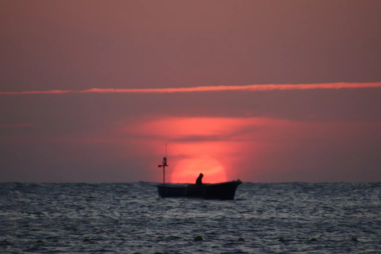
Last days of heat today and tomorrow, because change is coming Saturday
On Thursday and Friday it will be hot, especially in the south of Euskal Herria. In particular, the yellow warning for high temperatures will be active today in Álava, in the region next to the Ebro from 13:00 to 19:00, and in the centre of Navarre, in the pyrenean area and in the Ribera, from 13:00 to 21:00.